Warm and dry week for North Texas ahead of next week's cold front
Gorgeous sunshine is in abundance Tuesday with high temperatures nearly 10° above average.
Watch CBS News
Gorgeous sunshine is in abundance Tuesday with high temperatures nearly 10° above average.
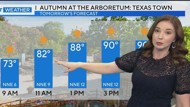
We experienced a pleasant fall morning and a warm afternoon with temperatures near 90 degrees. Similar weather is expected on Tuesday.

Lots of sunshine and warm temperatures continue in North Texas, making it the perfect time to visit the State Fair.
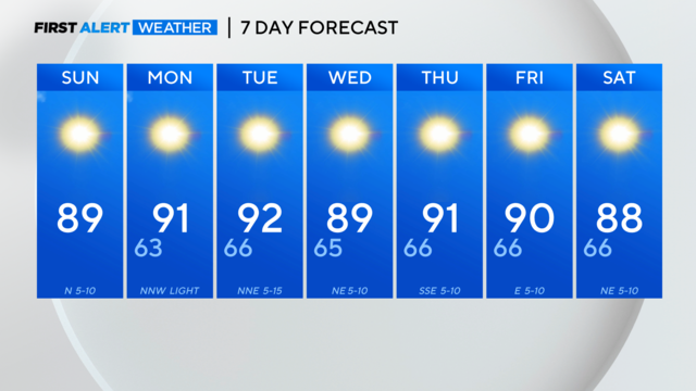
Lots of sunshine and warm temperatures continue in North Texas, making it the perfect time to visit the State Fair.
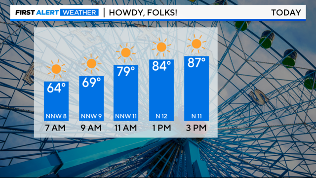
North Texans can expect a beautiful Saturday with low humidity, breezy northerly winds, and plenty of sunshine.
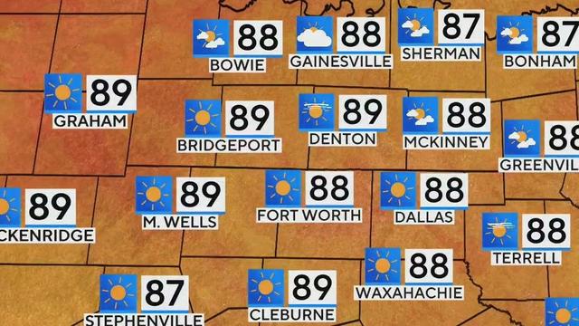
Expect clear blue skies and rising temperatures in North Texas this weekend, with highs reaching the upper 80s to low 90s.
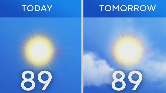
North Texans can expect a beautiful Saturday with low humidity, breezy northerly winds, and plenty of sunshine.

Saturday morning will be cool, dry and crisp.
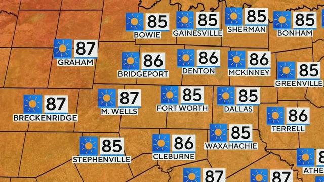
North Texas residents can look forward to a delightful weekend with plenty of sunshine and warm temperatures in the mid to upper 80s.
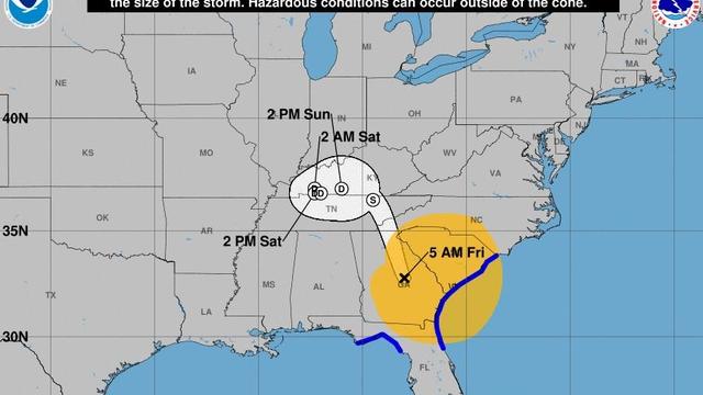
Maps show the areas impacted by storm surge, rainfall levels and more as Helene, once a major hurricane and now a tropical storm, moves inland from Florida's Gulf Coast over Georgia.

Chief Meteorologist Scott Padget is joined by a special guest as he delivers the weather forecast for the opening day of the State Fair of Texas.
In North Texas, it's nothing but sunshine and fine fall weather for the start of the State Fair of Texas.
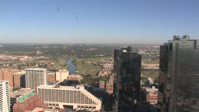
Plenty of sunshine is ahead for North Texas as the weekend approaches.
The 7-day forecast shows no temperatures in the 90s and no rain or storms ahead.

Morning rain and overnight storms have cleared the way for fall-like temperatures.

Beautiful fall-like weather arrives for the State Fair this weekend.
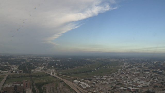
Low rain chances stick around through the day.

Our next front will approach late Monday through Wednesday morning.

Rain chances for the rest of the day are around 20%. Morning rain will give way to a mix of sun and clouds.

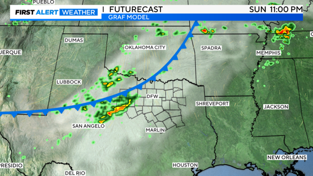
A front approaches Sunday evening along with a scattered shower/storm chance.

Rain chances increase next week as high pressure breaks down.

We have another hot, sunny, and muggy Saturday on the way. Scattered showers will greet some of us on Monday.
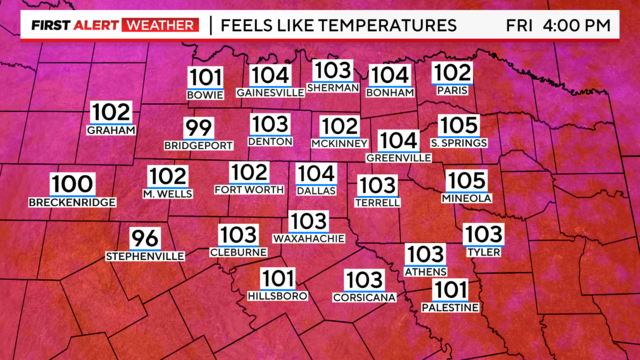
The heat continues for Friday night football, still feeling like 100 degrees around 7 p.m.

During Friday night lights, expect "feels-like" temperatures to reach 100 degrees.
Plan for a hot and muggy evening if you are taking part in the Addison Oktoberfest activities this evening.