Sunshine, heat, humidity in the Thursday forecast for North Texas
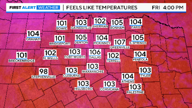
CBS News Texas meteorologists have issued weather alerts due to "feels-like" temperatures reaching up to 106 degrees.
Watch CBS News
CBS News Texas meteorologists have issued weather alerts due to "feels-like" temperatures reaching up to 106 degrees.
Some long-range forecast models continue to show a front moving through North Texas late Sunday or Monday.

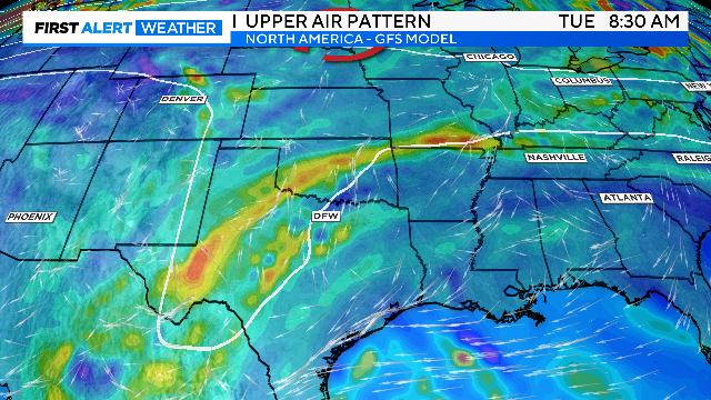
The unseasonable heat is caused by high pressure in the upper levels of the atmosphere expanding out of Mexico.

On Tuesday morning, parts of North Texas had some cloud cover moving through the area, but those clouds didn't last very long.
A stray rain chance is possible late this coming weekend into early next week.

The hottest temperature will be on Friday with a high of 97, about 10 degrees above average for this time of year.

Monday mornings feels like temperatures won't be terrible, so get outside before the heat turns up.

An isolated shower or storm is possible this evening in our western and southern counties near a stalled boundary.

An isolated shower or storm is possible this evening in our western and southern counties near a stalled boundary.
It'll be a muggy and warmer start to your Sunday morning.

High clouds from Hurricane Ileana, located to our southwest, are drifting into the region and will linger Saturday.

High clouds from Hurricane Ileana, located to our southwest, are drifting into the region and will linger Saturday.
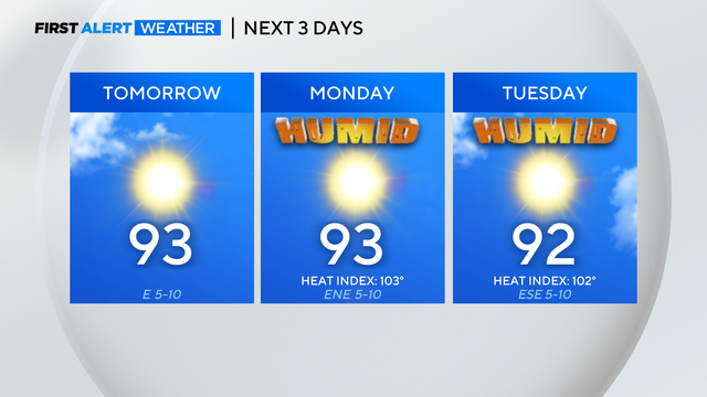
High pressure will stay in place through most of next week, leading to mostly clear skies.
A strong ridge of high pressure is building over the southern plains, bringing temperatures back to summer levels.
Stronger rain chances are more likely further southeast of the Metroplex.

Francine strengthened into a hurricane Tuesday evening.

There is a 20%-30% chance of isolated showers and storms off and on through the day Wednesday.
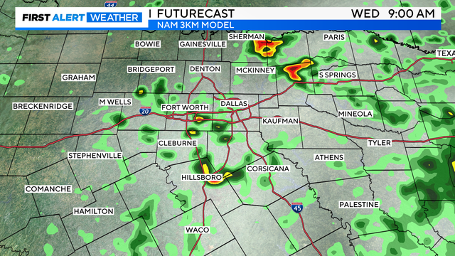
Enjoy one more beautiful day before the heat is back on.
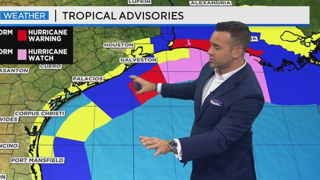
While North Texas enjoys pleasant weather, a tropical storm near the Texas and Louisiana coastlines is expected to intensify into a Category 1 hurricane by midnight and could approach Category 3 status by Wednesday.
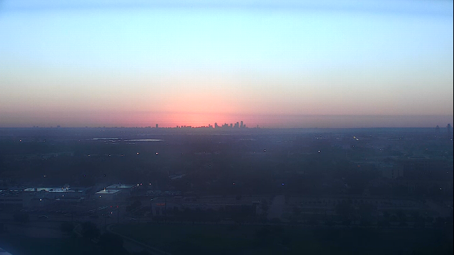
Expect a pleasant Monday with full sunshine and low humidity.

Monday morning looks amazing: the coolest morning since April. Tuesday morning will be a touch warmer.

On Monday morning, we'll wake up to the coolest temperatures we've had in months.

On Monday morning, we'll wake up to the coolest temperatures we've had in months.
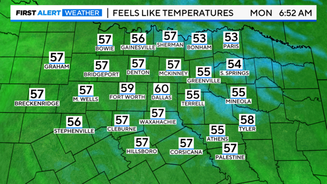
Temperatures will range from the upper 50s to the lower 60s in the mornings. Afternoons will reach the lower 80s.

This beautiful fall weekend will be followed by rain chances midweek.