KDKA-TV morning weather blog: Feb. 5, 2026
Impactful snow is moving into the Pittsburgh area on Friday.
Watch CBS News
Impactful snow is moving into the Pittsburgh area on Friday.
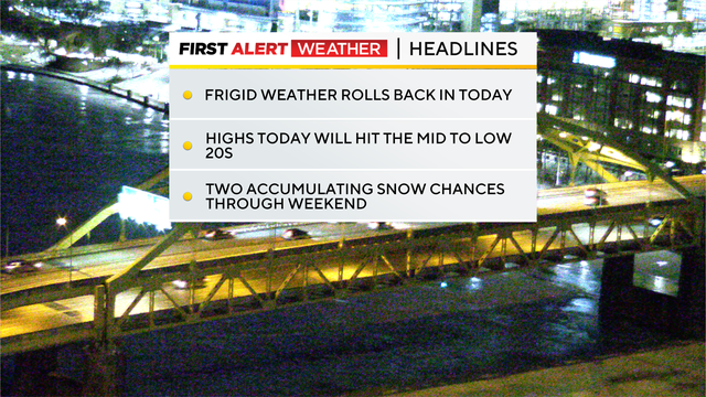
While it will be nothing like the storm last week, a couple more inches of snow are heading to the Pittsburgh area.
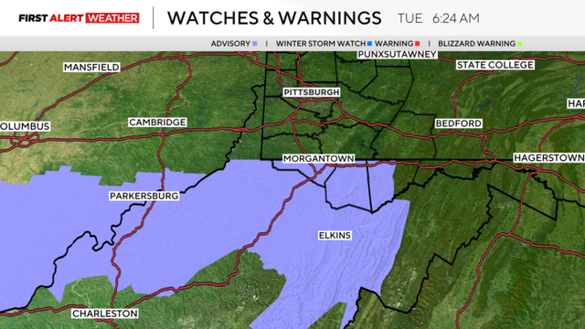
If you are traveling south today into West Virginia, a narrow band of snow is expected to impact the area this afternoon into the evening.
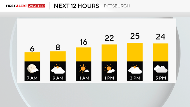
The next chance of snow for the region will be Tuesday evening.
While another snowstorm isn't coming, flurries are possible over the next few days.
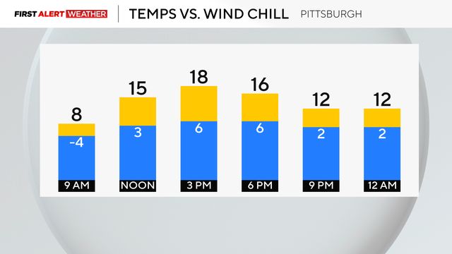
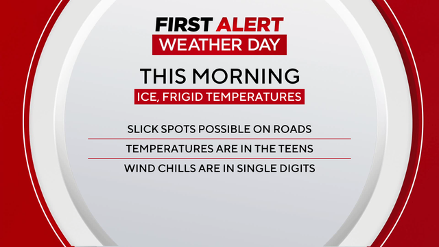
Saturday morning begins with extreme cold, but soon, the temperatures will start to rise.
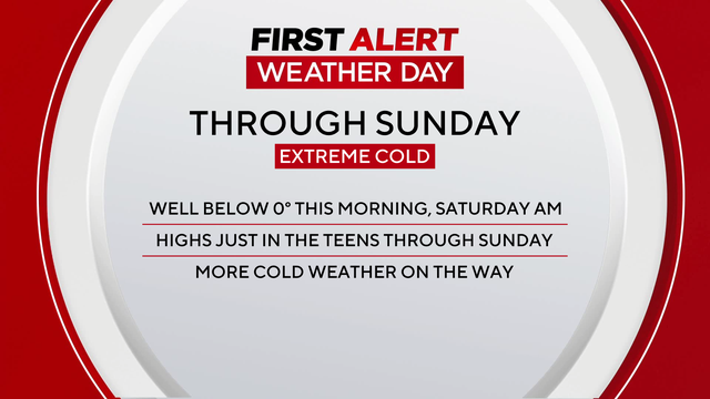
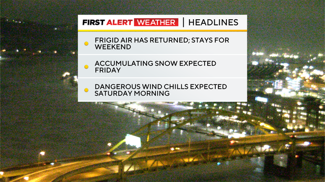
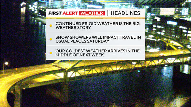
The cold temperatures in the regions aren't going anywhere - in fact, they'll be sticking around for quite some time.
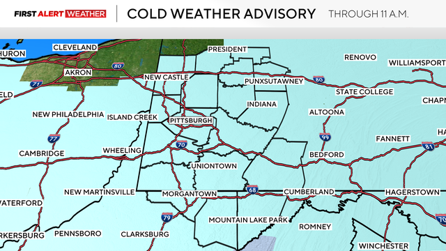
Pittsburgh may be in the clear when it comes to snow, but the cold weather is here to stay.
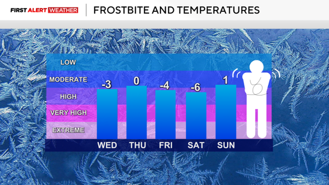
There are First Alert Weather Days in place through Sunday due to cold mornings.
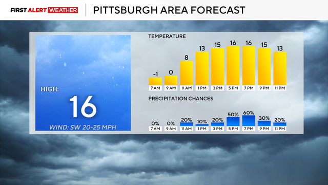
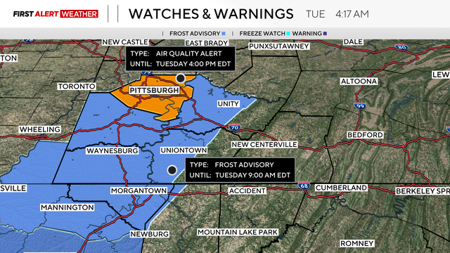
Tuesday is a First Alert Weather Day due to wind chills potentially dipping to 25 degrees below zero.
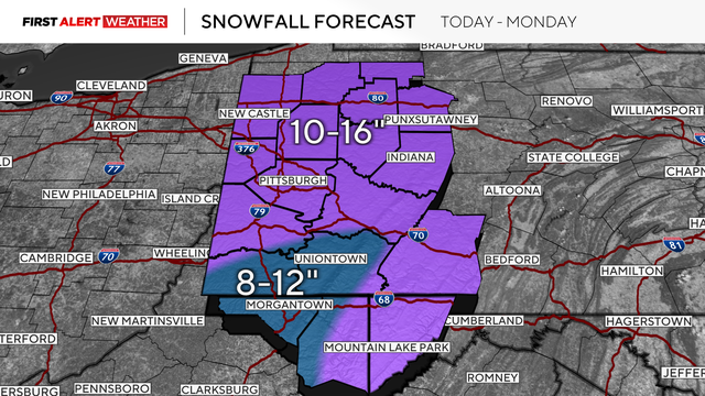
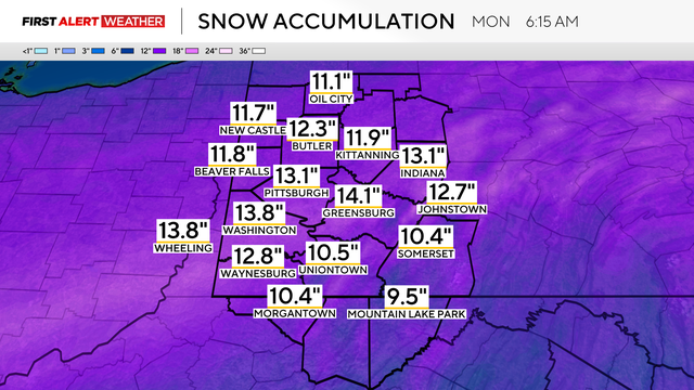
Pittsburgh could see up to 16 inches of snow throughout the day on Sunday.
As we continue to monitor this weekend's storm, Pittsburgh could see between 10 and 16 inches of snow.
Along with expecting several inches of snow, Pittsburgh will also have cold temperatures.
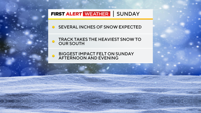
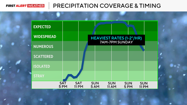
A major snowstorm is on the way, and it's set to arrive on Saturday evening in western Pennsylvania.
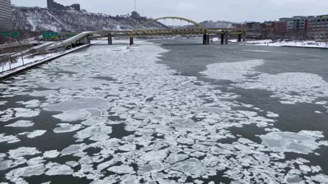
A major winter storm is forecast to hit the Pittsburgh area this weekend, with snow and bitterly cold air possibly for the region.
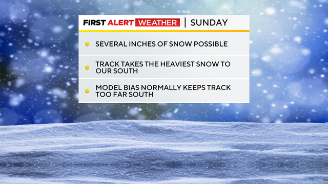
We've got some snow chances on Wednesday afternoon, but a possible big snowstorm is looming this weekend.
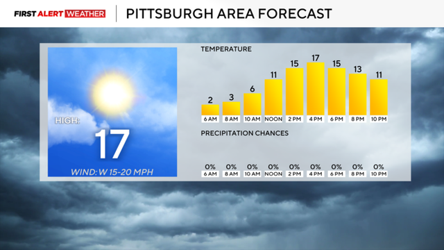
Frigid air is expected to be in place for the region through next week.
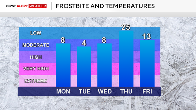
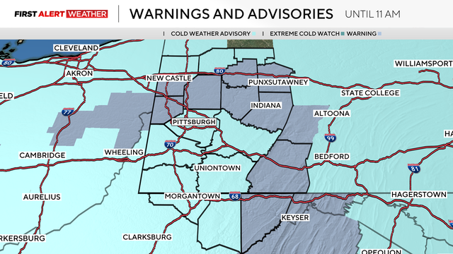
Tuesday is a First Alert Weather Day due to cold temperatures.

More snow showers are expected on Sunday night, and the temperatures will continue to steadily drop.
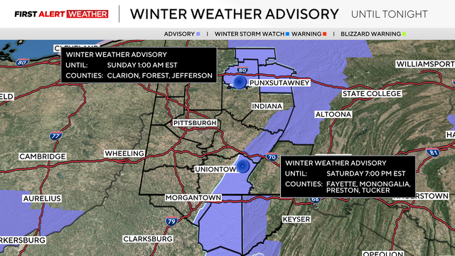
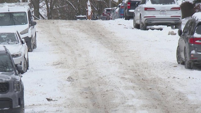
Some areas woke up to snow on Saturday morning, but for most places, it will taper off throughout the day.
Friday kicks off the weekend with some warmer temperatures, but they will not last long.
Snow is making its way to the Pittsburgh area, but the question on everyone's mind is how much snow will be on the ground?
Temperatures will continue to fall on Thursday and through the weekend as the snow and cold return to the area.
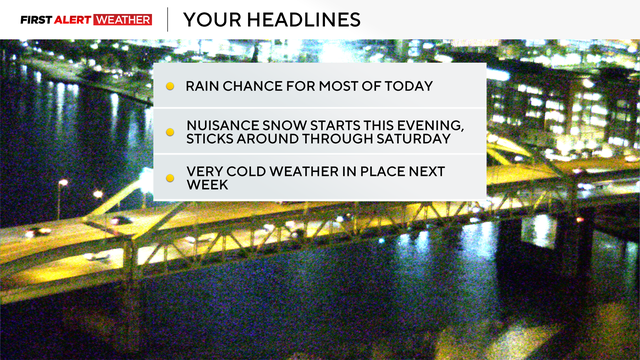
As temperatures fall throughout the day on Wednesday, afternoon rain will turn into nighttime snow.
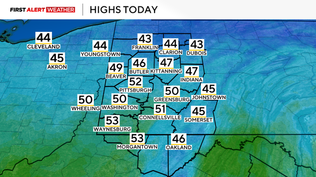
There's a chance for rain in the forecast that comes after sunset.