Effects of Lee diminishing in Tri-State Area
The effects brought to our area by Lee will be diminishing as we progress through the evening into the night.
Watch CBS News
The effects brought to our area by Lee will be diminishing as we progress through the evening into the night.

It's feeling like fall today, while Hurricane Lee brings high surf and coastal flood advisories to our beaches.

Today looks mostly sunny and warm, with low humidity this afternoon. Highs are expected to be in the 70s.
Showers and potential downpours push through Wednesday morning, with some flooding possible. Then, we could see isolated storms for the remainder of the day.
Today will be partly cloudy, warm and humid with a stray rain shower and highs in the low 80s.
It won't be raining everywhere, but some slowdowns and ponding where they do pop-up.
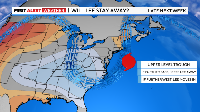
Lee will most definitely gather fuel from the very warm waters that currently lie ahead.

A few of the showers may be heavy, and an isolated storm is possible.
Sunday will begin similarly to Saturday, with low clouds and fog.
A Severe Thunderstorm Watch remains in effect across much of the Tri-State Area until 11 p.m.

The game where millions of players get to be general managers creates camaraderie and all types of trash talk.
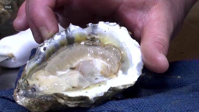
There's a warning about some oysters from our area you should know about.

Today will be hazy, hot and humid again with highs in the low to mid 90s. Then, we're tracking potentially severe thunderstorms later on west of the city.

The postponed concerts include stops in Syracuse, Albany and Uncasville, Connecticut.
A Yellow Alert remains in place through Thursday, and the Heat Advisory has been extended through Thursday as well.