Severe storm threat in Chicago area on Friday
Thunderstorms return to the Chicago area on Friday.
Watch CBS News
Thunderstorms return to the Chicago area on Friday.
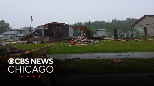
A tornado risk lingered all day on Wednesday, but Merrillville appears to now be in the clear. This as recovery efforts from the June 11 storms continue, with some still without power.
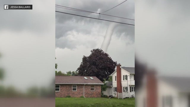
The Chicago area was pounded by severe storms for hours on Thursday afternoon and evening, with multiple reports of tornado damage stretching from the southwest suburbs to northwest Indiana.
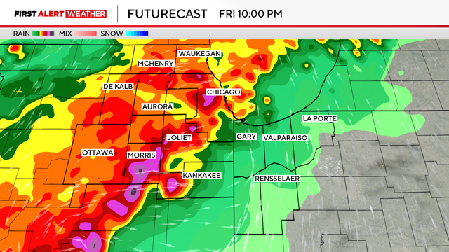
A tornado watch remains in effect for part of northwest Indiana as the threat of tornadoes from two rounds of severe storms has otherwise ended for the Chicago area.
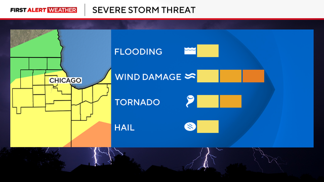
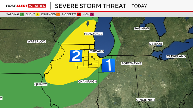
A severe weather threat is in place until 9 p.m., with damaging winds as the greatest hazard.
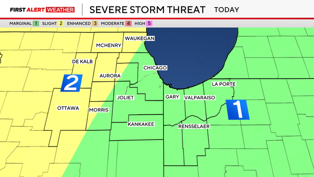
Two rounds of storms are hitting the Chicago area on Friday. Here's what you can expect.
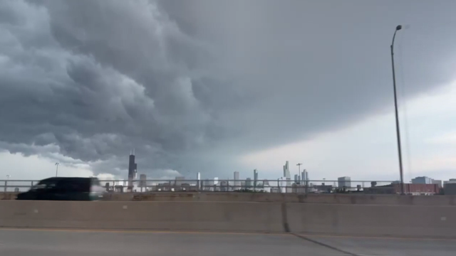
Multiple rounds of storms pounded the Chicago area Monday afternoon, evening, and late night — prompting tornado and flash flood warnings, and causing flight and commuter train delays, power outages, and other problems.
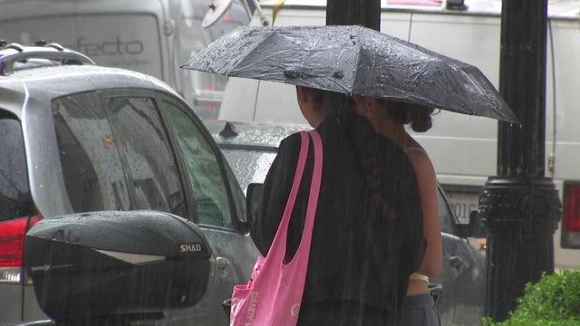
A Flood Watch was in effect for most of the area through midnight Tuesday night.
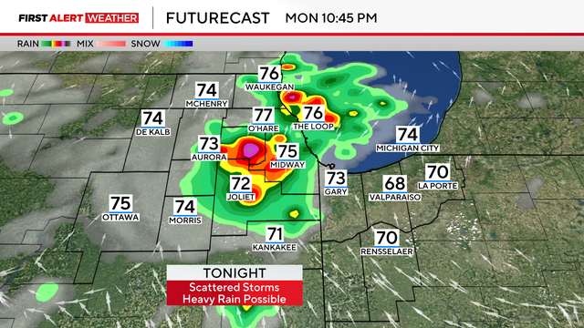
Beginning shorty after 9 p.m., lightning began flashing and thunder began rolling in downtown Chicago, as pouring rain began falling off and on.
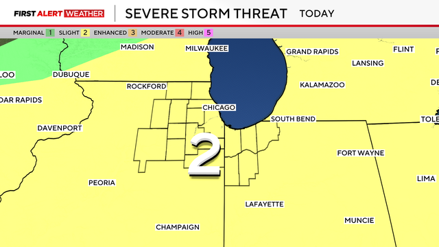
The storms can produce damaging winds and cause flooding, as one to three inches of rain are expected in some areas.
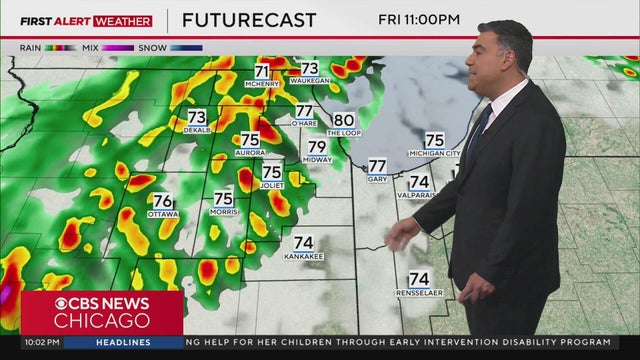
Showers and storms are expected to linger through around 3 a.m. Saturday.

The show was supposed to start at 7 p.m.
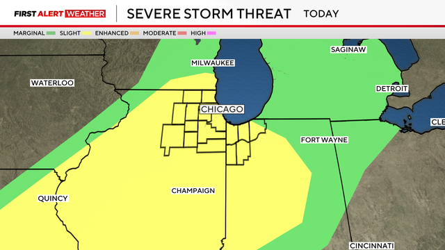
Chicago weather Friday will see temperatures soar near 80 degrees before the warm, wet air mass collides with a cold front that could produce severe thunderstorms.
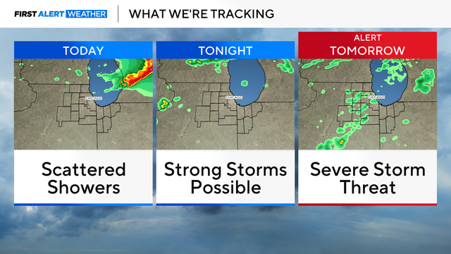
There's a chance for strong storms Thursday night, with gusty winds and small hail as the main threats.
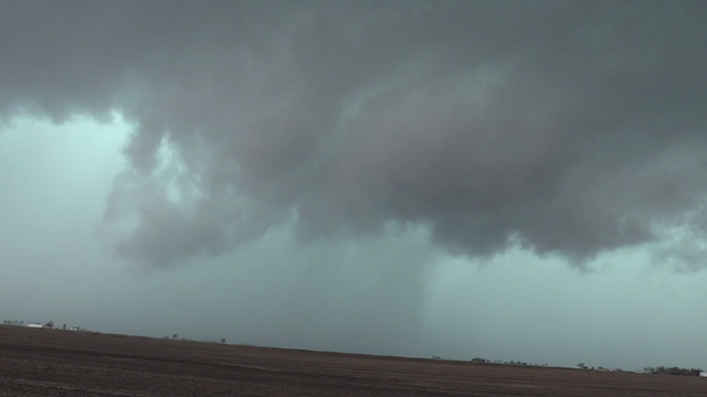
In Iroquois County, crews on the ground said an apparent tornado blew apart barns and brought down power lines.
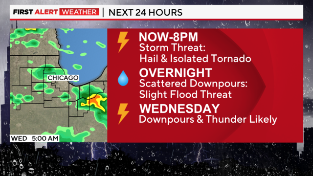
The main threat will be from isolated intense storms producing hail and a brief tornado.