Skies Clear As Can Be, But Chill Hovers In The Air
There is nary a cloud in the sky Friday, but temperatures are hovering in the chilly zone that is expected for this time of year.
Watch CBS News
There is nary a cloud in the sky Friday, but temperatures are hovering in the chilly zone that is expected for this time of year.

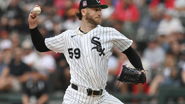
This Cubs Opening Day won't be setting any records for cold, but it will require a jacket – and your plants will require protection overnight as a freeze threatens the area.

A high-pressure ridge is keeping the skies clear and sunny, but temperatures will remain nippy throughout the day and the rest of the work week.
The temperature is expected to hit a balmy 77 degrees in Chicago Tuesday, but will drop down as low as the 50s as the afternoon goes on and a cold front passes through.

Temperatures will rise to the lower 70s in some outlying areas Monday, but will hover in the 50s and 60s along the lake as a breeze keeps conditions cool.

The blast of rain that soaked the Chicago area Friday morning has gone on its way, but a chilly and dreary day persists.

Season-appropriate temperatures in the low 50s will prevail Thursday, but the sun will remain out all day.

The temperature is expected to hit a balmy 70 degrees with sunny skies Wednesday afternoon.
On Tuesday morning, you might have felt as if you would blow away, as high and chilly winds gusted through the city for a second day. But as the afternoon goes on, temperatures will climb to the mid- to upper 60s.

The summerlike spell of 80-plus degree days last week might have led you to forget, but it is, in fact, still March.

The summerlike March heat wave has come to an end after more than a week with temperatures exceeding 80 degrees, but even the lower temperatures are far in excess of what is typical for March.

In what will come as no surprise, this March, by far, is already ranking as the warmest on record.

Another day, another record shattered in subtropical Chicago.

Another record-setting day is expected Tuesday, as temperatures climb as high as the mid-80s in some far south suburban areas.

A string of five straight days of record warmth for Chicago ended on Monday, although the high temperature still matched a 91-year-old mark.

Temperatures will be quite a bit cooler along the lakefront than in inland areas Friday afternoon, but CBS 2 Meteorologist Megan Glaros says it's only the difference between a nice day and a nicer day.

Chicago city residents might need a light jacket later in the day Thursday, but areas farther west will continue to experience summertime temperatures in what is technically still winter.

Technically, it's still winter right now, but shorts and a T-shirt will be apropos on Wednesday as the temperature climbs above 80 degrees in some places.
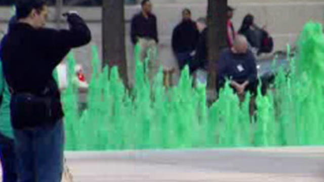
The skies will be sunny and the temperatures warm and pleasant on Tuesday, but when Wednesday comes around, you might be fooled into thinking it's June.
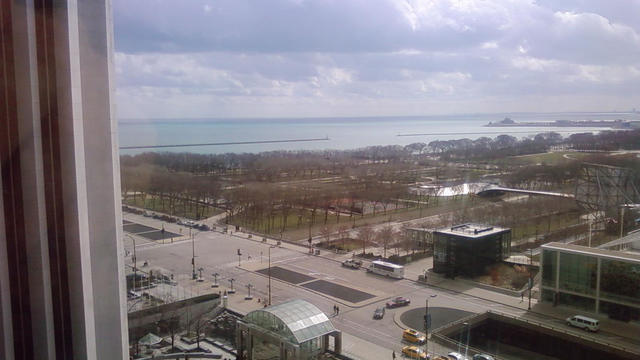
It might as well be mid-May, with temperatures climbing to 70 degrees and springtime thunderstorms making their way toward the area.

The Chicago area will experience multiple seasons in one day Friday, with thunderstorms for some area residents, and later, snow falling at a rate of 1 inch per hour for others.

This is the first day of meteorological spring, but the spring-like temperatures that predominated in the Chicago area 24 hours ago are history.

Enjoy the warm temperatures while they last, because the wind will pick up and the conditions will get colder in the afternoon.

Cloudy skies will give way to rain Tuesday evening, followed by a jump into the 50s and a dash of wet snow all in the same day on Wednesday.

Conditions will remain seasonably cold Monday, but expect the sun to be out for the rest of the afternoon.