Put The Shovels Away, Winter Is Finally Over!
We may not see 32 degrees in Boston again until next Fall.
Watch CBS News
We may not see 32 degrees in Boston again until next Fall.
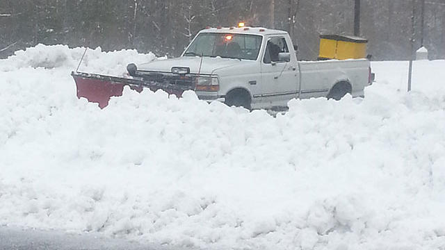
At this point it doesn't appear like more than in inch or two at worst in those locations.
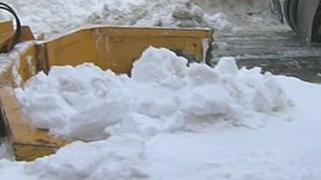
Worcester currently has a whopping 108.9" this season, just over 9 feet of snow.

This storm will stay well offshore and its core of wind, rain and snow will never come very close to New England, so what's the problem you ask? Well it seems this winter that no matter how hard we try, we just cannot avoid a snowstorm.
Some light flurries will break out near the Coast during Thursday and a band of snow will likely setup by evening right near the Massachusetts Coastline.
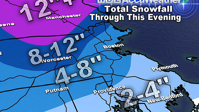
The good news: we can just about put this snowstorm in the books…
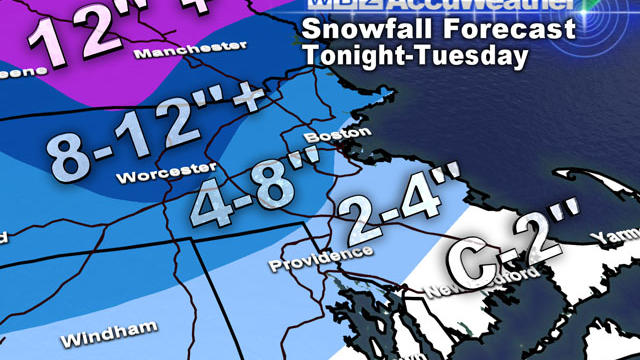
There will be a widespread 2-to-4 inches (at least) on the ground by Tuesday morning's commute, just about everywhere. I expect lots of delays, cancellations and an extremely challenging morning drive.

I wish it were a just a cruel joke...just as much of the landscape in Southern New England is finally turning from white to green and the first signs of spring are popping up and sprouting through the ground, yet another potent winter storm is on its way.
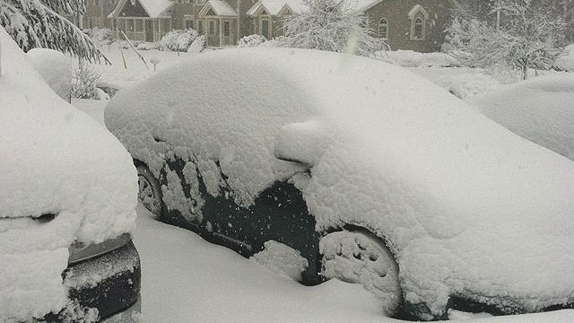
Why did we get so much more snow than expected Friday?

Snow totals are widely variable throughout the region with just a few inches in some areas all the way up 12-to-24 inches in parts of Worcester County and southeastern Massachusetts.

A fresh layer of several inches of snow will coat the ground and many roads by Friday morning's commute, leading to some tricky and treacherous travel. Snow will continue all morning and finally begin to taper off during Friday afternoon.

The greatest concern with this event will be along the coastline. There will likely be a significant impact for the entire Massachusetts coast with severe beach erosion and flooding.

Please take this storm threat seriously, especially if you are a coastal resident…you should begin to make preparations immediately

This storm is going to continue to strengthen over the coming days and become an absolute monster once it hits the Atlantic Ocean off of Virginia early Wednesday morning.

Here are my top ten reasons why you should turn that winter frown upside-down and rejoice that March is here.

There is snow in the forecast for some areas, but not all of them.
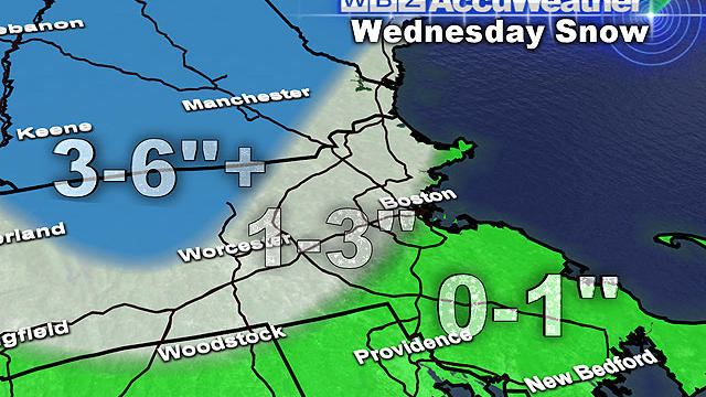
Not only do we have more snow on the way in less than 48 hours, but temperatures following our next snow event are going to be near or below normal for the foreseeable future.

If you are aching to get out and shovel, you can get started now, but there may be another inch or two by the time it all ends later.

Good news this morning: no more forecast changes! After a day of forecast "adjustment" on Friday, we are back on track and believe that we finally have a good handle on this weekend's snow.

WBZ Meteorologist Terry Eliason gives us an idea on what it's like to be in the newsroom while riding out a storm

What looked like such a slam dunk forecast a few days ago has become an absolute head scratcher. Honestly, this storm could end up being a bust.

This storm will be very different from the last two, mainly because it will be a warmer storm.

This pattern looks as though it will continue for at least one more week as we are eyeing what might be yet another plowable snowfall this weekend.

We will be glad to see this one go...This was truly a beast of a storm to forecast. Thankfully, the very heaviest of the snow is staying just offshore, just 25 to 50 miles offshore. Here is the latest...

Many folks woke up to a fresh inch or two of snow this morning; this is just part one of this two part-weekend snow event.