Tricky Forecast, But Most Places Can Expect Snow
The forecast is finally coming into focus a bit, but some questions still remain for this weekend.
Watch CBS News
The forecast is finally coming into focus a bit, but some questions still remain for this weekend.

We had a close encounter with an asteroid Friday afternoon. Sort of.

Some precipitation will likely be falling in parts of New England for almost the entire weekend, but in the end, it probably won't add up to a whole lot.
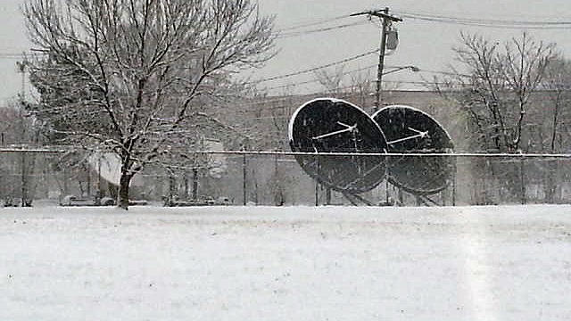
What we do know is that there will be some snow on Saturday.

With the cleanup still ongoing from the Blizzard of 2013, the last thing anyone wants to hear is that dirty little four letter word coming out of the meteorologists this week (S-N-O-W).

At 1 p.m., Boston's Logan Airport had 24.9 inches, officially making it the 5th biggest snow event in more than 100 years of record keeping.

The most intense part of the blizzard of 2013 is hitting New England.

Clearly this is not a storm to be taken lightly. If you have not already completed your storm preparations you should do so immediately.
We are still expecting a widespread 18-to-24 inches or more from this storm, with some isolated areas possibly getting 30 inches.

This could turn out to be a top 5 snowstorm for Boston. There have only been 6 other storms (on record since 1892) when Boston has received 20+ inches of snow from one storm.
The snowstorm Friday will be big, but will it be historic and rival some of the legendary storms of Boston's past? The short answer is it just might.

There will be no hype here, just the plain old facts as we see them right now, about 72 hours ahead of any sort of storm on Friday.

So the forecast for February at this point is for more of the same. Winter isn't going anywhere just yet.

We are in for one heck of a ride in the next 24-48 hours, the classic New England-style roller coaster complete with warnings signs and all.
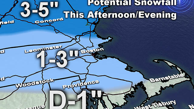
A second wave of precipitation will likely keep roads a bit hazardous piling some ice on top of the fresh snow.
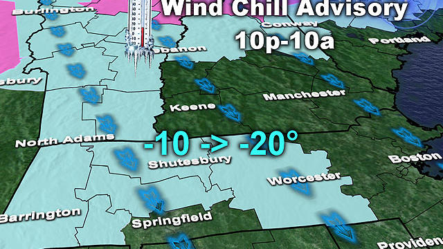
There will be a biting, gusty wind for most of tonight and again tomorrow night, producing wind chill values near 20 below in the northern and western burbs.
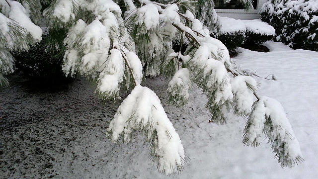
At this point, two coastal spots seem most likely to be affected - first, the seacoast of southern New Hampshire down to Cape Ann and second, the South Shore down to Cape Cod

By rush hour it should be snowing just about everywhere with a rain/snow mix along the immediate coastline.
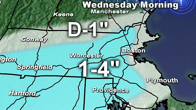
Don't be fooled, this winter is a very LONG way from being over. In fact, I believe the coldest and snowiest days are yet to come.

The final storm of 2012 left its mark across southern New England Saturday night into Sunday with about a foot of snow in some towns.

Our first widespread snow event including Boston and points south since February of 2011!

Here's the latest on Saturday's storm.

Models have had a difficult time thus far nailing down a track for this one, but at this point I see two potential scenarios for Saturday.

A major winter storm is on the way to New England, one that has ravaged the South with numerous tornadoes and covered much of the Midwest in blizzard conditions.

With a few storms in the forecast, there's some likelihood of a white Christmas in New England.