
Maryland Weather: The wind chill is gone, and a warmup is on the way
There will be times at the end of the forecast period when the overnight low will be above or darn near at the average daytime high.
Watch CBS News
There will be times at the end of the forecast period when the overnight low will be above or darn near at the average daytime high.

Winter storm damage is impacting holiday plans in the Baltimore area.
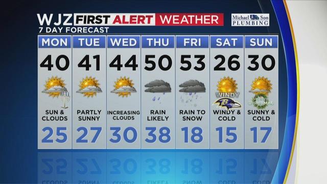
The coming week has the potential for "the coldest air of the season" as the strong arctic front marches across the eastern two-thirds of the country in the days before Christmas, according to the latest forecasts from the federal Weather Prediction Center in College Park, Maryland.
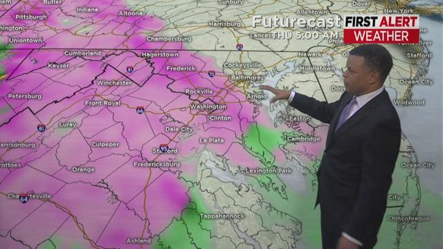
A storm system will approach Maryland by Wednesday night and bring with it a wintry mix.
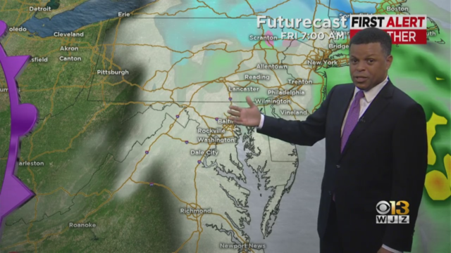
Clouds will gradually clear late tonight, with temperatures settling into the 30s by Monday morning.
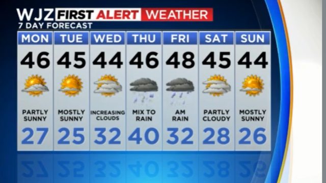
Clouds that hung around the region during the day Monday will slowly clear by tonight.
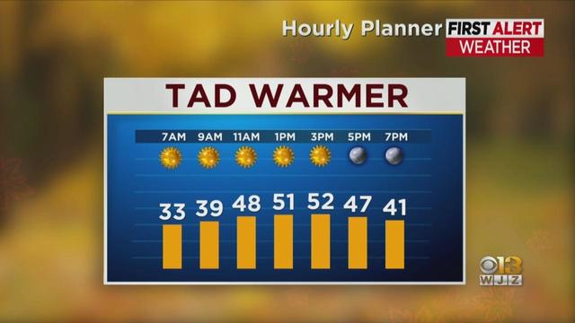
It will be a chilly start to your Tuesday with mostly clear skies and temperatures in the low to mid-30s for most Maryland residents.

There will be sunny skies and highs in the mid- to upper-50s after a chilly start. A few more clouds can be expected to arrive during the afternoon.
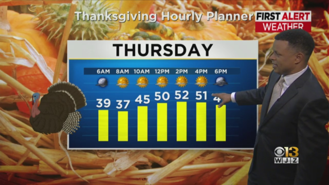
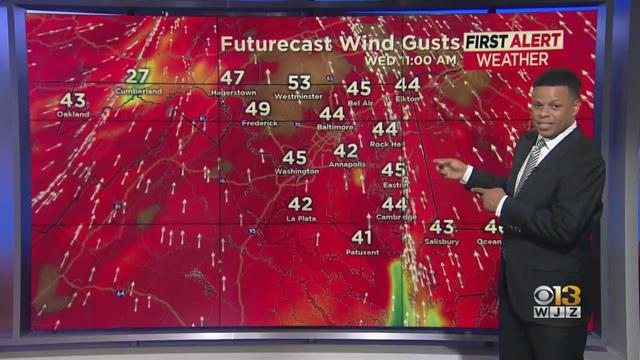
Expect more sunshine for Wednesday as people begin hitting the roads and taking to the skies for Thanksgiving travel.
The temperature will not be as cold on Monday night but will dip to around 30 degrees for most of Maryland by Tuesday morning.
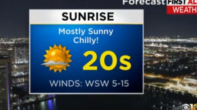
It will be chilly overnight with temperatures in the upper 20s and lower 30s across the region.

Wet weather is moving into the region just in time for the evening commute.
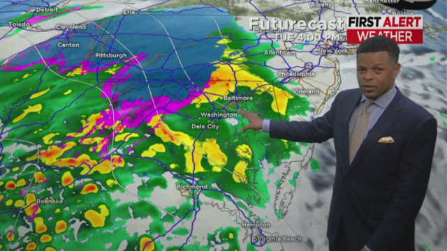
Temperatures will once again drop into the 20s and 30s in the Baltimore area this week.
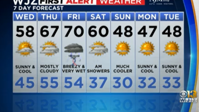
On Wednesday, the temperature will struggle to get out of the upper 50s. But the state will still get a lot of sunshine.
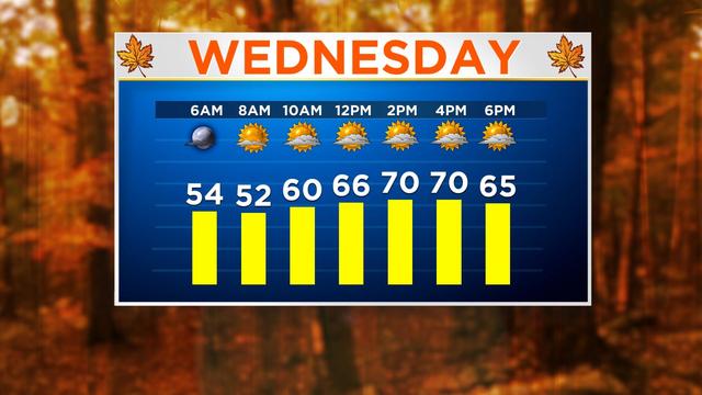
We'll have a mix of sun and clouds Wednesday, and temps top out near 70.

The clouds over Maryland will stick around on Monday as an area of low pressure off the coast moves north, bypassing the area.
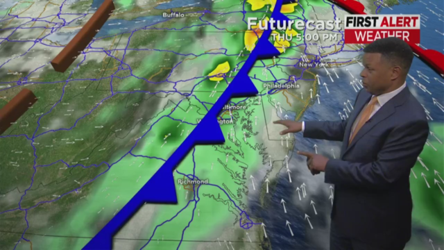
There will be nice weather across the region on Tuesday and Thursday. Temperature highs will remain in the 70s with mostly sunny to partly cloudy skies.
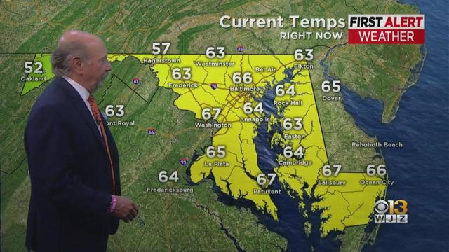
Marty Bass has your Monday afternoon forecast
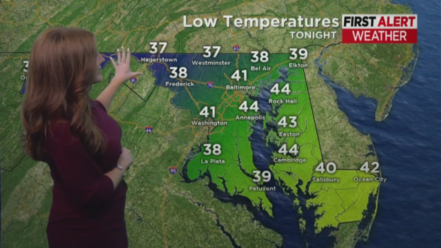
The National Weather Service has issued a frost advisory for the Maryland area.
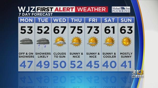
Clouds, occasional showers, and a northeast breeze will continue through Monday into Tuesday as a stubborn low pressure sits just offshore.
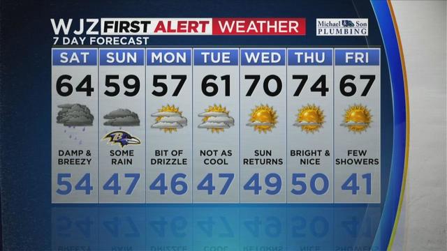
Ian is taking control, making an impact as he makes his way up the East Coast and through Maryland, creating quite gloomy and gray conditions for the state Saturday.
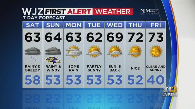
Tim Williams has your WJZ Friday evening forecast
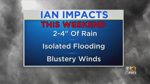
Clouds from Ian will arrive late Thursday afternoon, with showers coming Friday evening.
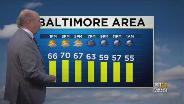
Marty Bass has your Thursday afternoon forecast
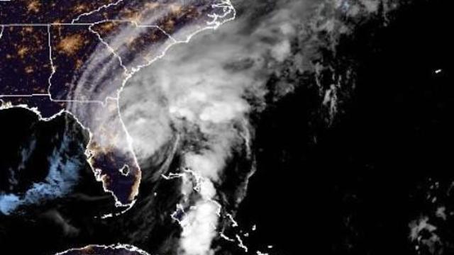
It made landfall over southwestern Florida as a major Category 4 hurricane and, while downgraded, was still packing a powerful punch overnight.