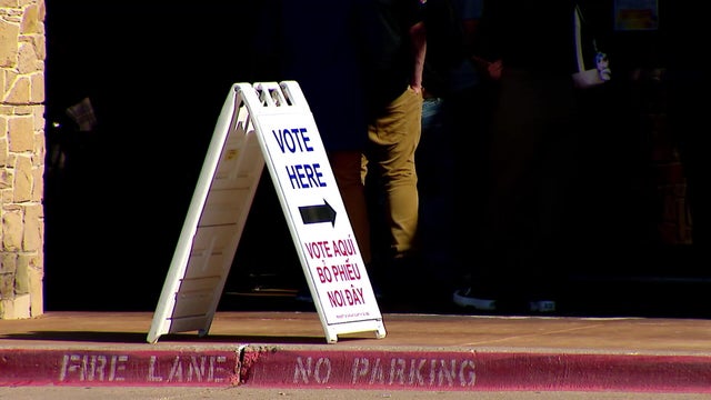
Near daily afternoon rain chances for North Texas and a cooler pattern ahead
Labor Day weekend will not be a washout, but rather a cooler weekend with hit/miss scattered storms.
Watch CBS News
Labor Day weekend will not be a washout, but rather a cooler weekend with hit/miss scattered storms.

There are hit-and-miss daily rain chances in the middle of the week.

Clouds will be thicker in DFW helping to keep temperatures down a bit even as humidity increases.

At the surface, we should benefit from a better, late-week cold front! Shower and thunderstorm chances appear to be highest during this timeframe.

The weekend remains hot, but temperatures are expected to be slightly more bearable compared to Friday.

Air temperatures Friday afternoon could reach 108 in some areas, and a ridge of high pressure will keep most clouds away.

Our hope for slightly cooler temperatures and a few showers arrives Tuesday into Wednesday

The Metroplex and most surrounding counties are under a heat advisory Thursday, with a heat index up to 109.
It is important to continue your heat safety precautions.

It'll still be warm to round out the week, with minimal rain chances Thursday to the east.
The First Alert weather team has issued an for the west side of North Texas due to an excessive heat warning.

The frontal boundary is knocking on our door.
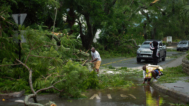
Ernesto regained hurricane strength on Sunday, forecasters said, and will continue to bring "life-threatening surf and rip current conditions" to the U.S. East Coast.
The high of 106 is just shy of a record, but some areas in North Texas could see air temperatures above 108.

The Excessive Heat Warning continues through Monday evening, 9 p.m.

The oppressive heat breaks Tuesday into Wednesday.

Sunday is anticipated to be the hottest day of the year so far.

The hottest days of the year are on the way to Dallas-Fort Worth this weekend, including a stretch of excessive heat.

The woman, a resident of Dallas, died without pre-existing medical conditions, officials said.

An Excessive Heat Warning will go into place at noon Friday and continue into the evening.

NOAA forecasters say there's a 77% chance that 2024 will be the warmest year on record, after July marked the 14th consecutive monthly record.

Temperatures will range from 103 degrees to 105 degrees and "feels-like" temperatures will reach 110 degrees to 112 degrees.
We are forecasting our hottest temperatures of the year, and heat indices could be up to 115°.
Sizzling hot temperatures are welcoming students back to class this year and there's a string of triple-digit afternoons ahead.

For our big Back-to-School special Wednesday morning, it's going to be warm!