Wednesday brings NYC a foggy start but a mild finish
It will feel more like March than January.
Watch CBS News
It will feel more like March than January.
While Tuesday may have some bumps, the trend is toward milder, more pleasant weather.
You'll want to bundle up Monday in the New York City area for a chilly start to the week before wetter, milder weather arrives midweek.
We're stuck in the freezer Friday as temperatures will struggle to get out of the 20s in the Tri-State Area.
The first morning of 2026 featured a few rounds of snow across the Tri-State Area.
The last day of 2025 will feature a blend of clouds and sun in New York City.
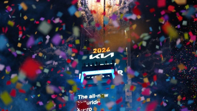
Here's how to stream Times Square New Year's Eve performances on Wednesday night and the ball drop ushering in 2026.

Some flurries or a snow shower will be possible on New Year's Eve, both in the morning and as we approach midnight.
All of New York City was under a dense fog advisory Monday morning, with warmer air in place after freezing rain in the Tri-State Area.
A First Alert Weather Day has been issued through 2 a.m. Monday due to the lingering threat of freezing rain in the northern suburbs of NYC.
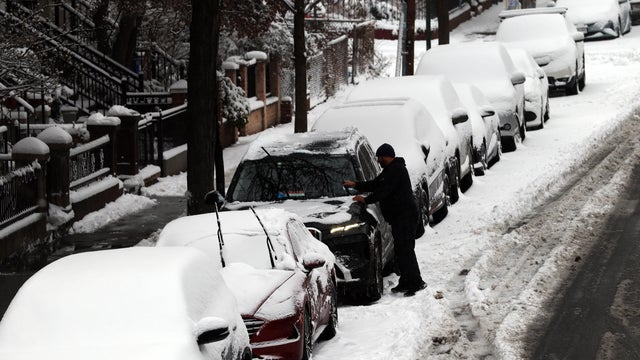
New York City wound up with less snow than anticipated, but still the most in nearly four years.
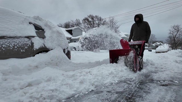
A major winter storm pummeled the Tri-State Area with snow and ice after New York and New Jersey declared states of emergency.

Shovels and plows will be out later Friday as people in New York City and the surrounding area prepare for a blast of winter.
It's a First Alert Weather Day for Friday evening into Saturday morning due to accumulating snow that could be heavy at times.
Forecast model data continues to suggest that a general 4–8-inch snowfall is likely with this system.