Fire risk, air quality concerns Monday as hot streak continues
A red flag warning and air quality alert will be in effect in Minnesota on a hot, windy Monday.
Watch CBS News
A red flag warning and air quality alert will be in effect in Minnesota on a hot, windy Monday.
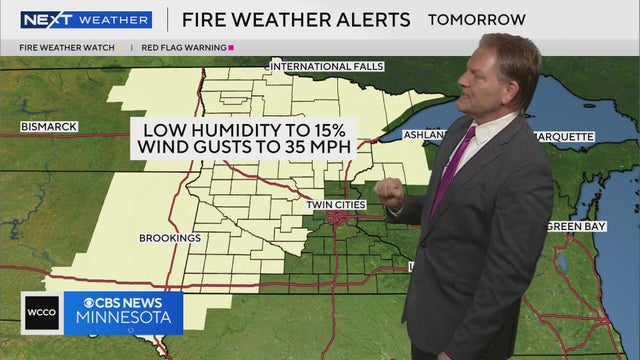
NEXT Meteorologist Chris Shaffer says a fire watch is in effect for the majority of Minnesota on Tuesday, with low humidity around 15% and wind gusts around 35 mph.

Air quality issues and the risk for fires are expected to linger over the next few days, according to NEXT Meteorologist Chris Shaffer.
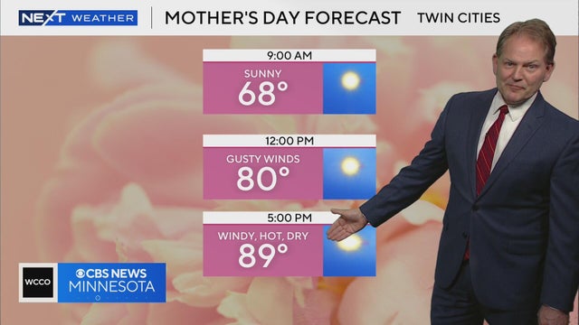
Meteorologist Chris Shaffer says Mother's Day is shaping up to be warm and windy with temperatures possibly reaching the high 80s.
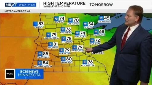
Meteorologist Chris Shaffer says the Twin Cities could reach the high 70s on Saturday before a possible warmup to the high 80s on Sunday.
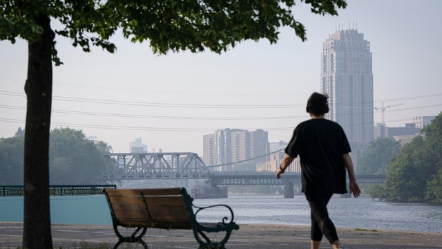
A round of smoke will roll through Minnesota on Friday after several wildfires developed in Canada.
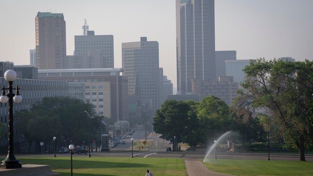
The Minnesota Pollution Control Agency has released its latest air quality forecast for the summer season.
A cold front will pass through Minnesota on Tuesday night, dragging in cooler air for Wednesday
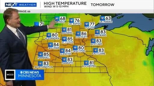
Meteorologist Chris Shaffer says the majority of Minnesota could see 80-degree temperatures on Tuesday, and above average temperatures through the rest of the week.
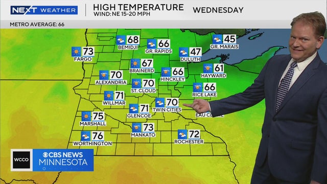
WCCO meteorologist Chris Shaffer says high temperatures are expected to be in the 70s all week, with a few chances at reaching 80 degrees.
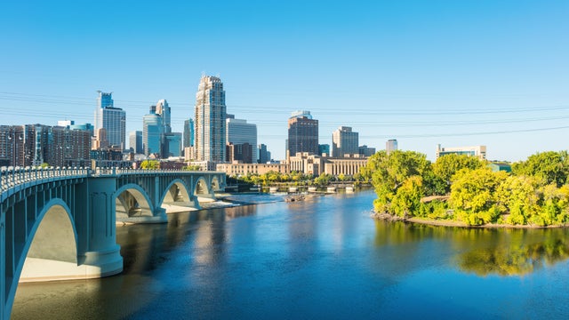
Monday kicks off a sunny, quiet week in the Twin Cities as warm spring temperatures carry on.
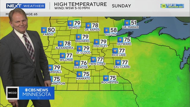
Meteorologist Chris Shaffer says we may hit the 70s next week.

Friday will be overcast and cool, but the weekend will bring Minnesota a #Top10WxDay.
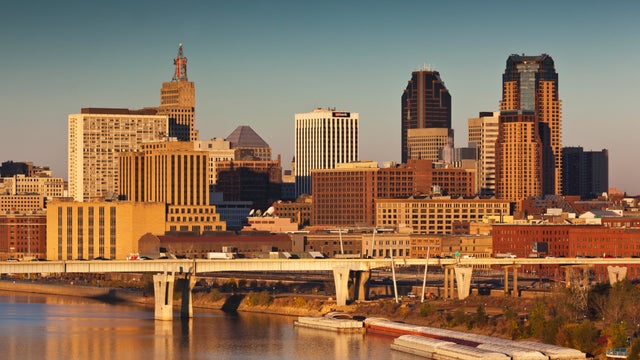
Spring is heating up, with a breezy, warm Wednesday on the way and even warmer temperatures ahead.
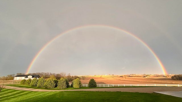
After severe weather rolled through Minnesota on Monday — including at least one observed tornado — Tuesday will be much calmer.
A volatile Monday brought multiple rounds of severe weather across Minnesota.
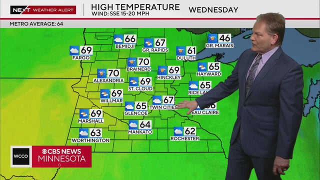
WCCO meteorologist Chris Shaffer says temperatures will warm to 60 on Tuesday, with a possible high of 67 on Wednesday.
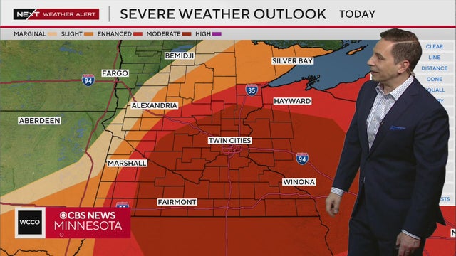
As storms move through western Minnesota on Monday, April 28, meteorologist Mike Augustyniak says there is a potential for baseball-sized hail, strong wind gusts and tornadoes in central and southern parts of the state, including the Twin Cities. Click here for the full forecast details.
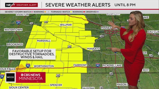
A tornado watch has been issued for several counties in southern and western Minnesota until 8 p.m. Monday. Meteorologist Lisa Meadows details when the severe storms may hit. Click here to see the full forecast details.
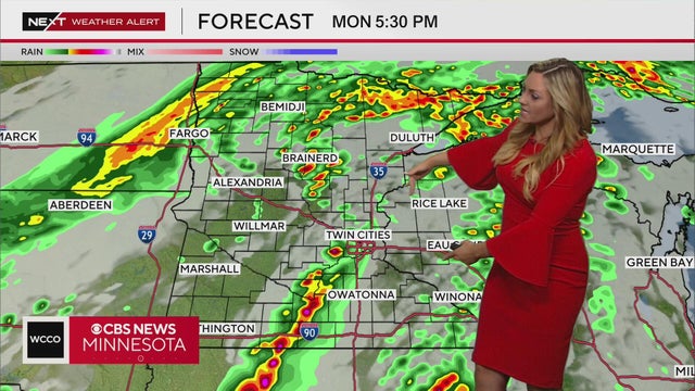
There's a moderate risk of severe weather on Monday afternoon in southeastern Minnesota. Click here to read the full forecast for Monday afternoon.
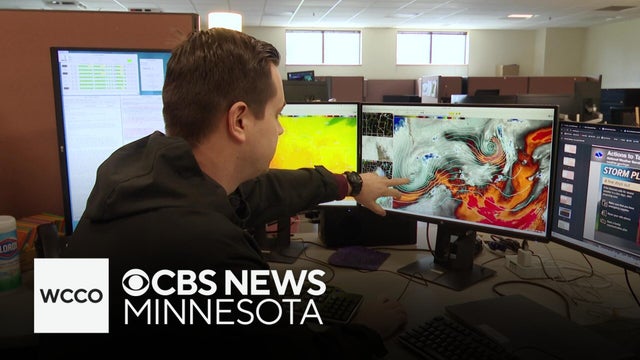
Jason Rantala speaks with a National Weather Service meteorologist in Chanhassen.
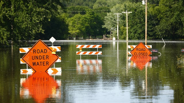
Heavy rain tends to get overlooked in favor of the other threats that come with severe weather. But all that water in such a short period can pack a punch.
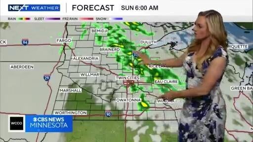
Monday is a NEXT Weather Alert day due to the possibility of severe storms in the afternoon and evening.

WCCO's Chris Shaffer said to look out for storms on Monday.
Rain will move in late Wednesday night and become more widespread Thursday afternoon and evening, especially from the Twin Cities east.