Chicago Weather Alert: Rain, snow coming Thursday
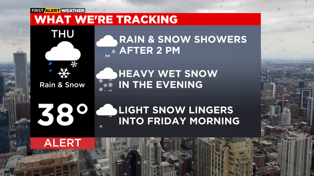
A snow and rain mix will increase after 2 p.m. on Thursday and will be widespread for the afternoon commute. Some heavier bursts of wet snow are possible after sunset and through the evening hours.
Watch CBS News
A snow and rain mix will increase after 2 p.m. on Thursday and will be widespread for the afternoon commute. Some heavier bursts of wet snow are possible after sunset and through the evening hours.
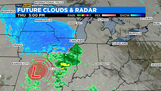
According to CBS 2 meteorologist Mary Kay Kleist, it'll be dry start for the morning rush tomorrow, but that'll change by the afternoon.
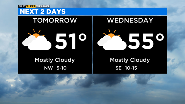
According to CBS 2 Chief Meteorologist Albert Ramon, highs Wednesday will be in the low 40s with a mostly cloudy sky and a breeze off the lake.
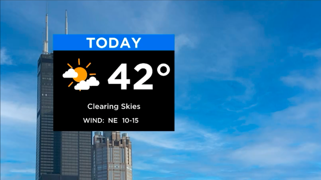
A cooler day is ahead.

Lows tonight will be mild in the mid 30s, but below average highs in the upper 30s and low 40s are expected Tuesday afternoon.
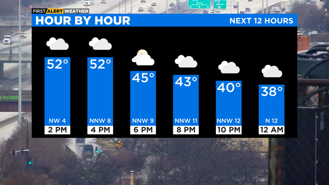
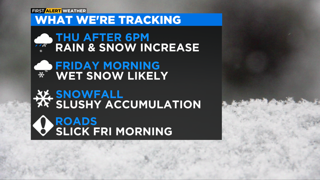
Our next system brings a wintry mix late Thursday into Friday.
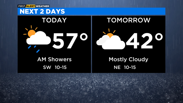
Rain and snow return with a mix later Thursday into Friday.
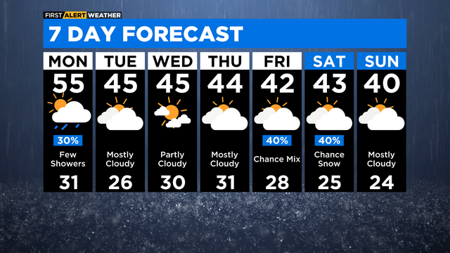
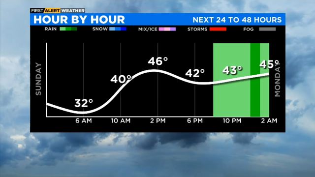
Expect rain showers Sunday night and a low temperature of 40 degrees.
A Dense Fog Advisory is in place for much of the area until 9 a.m.
Saturday night brings partly cloudy skies and a low temperature of 30 degrees.
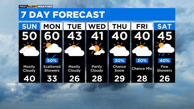
More clouds than the sun but a nice warmup with temps reaching 60 by Monday.
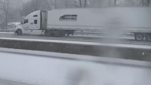
Snow was falling south of Chicago and in Northwest Indiana Friday afternoon just in time for the evening rush.
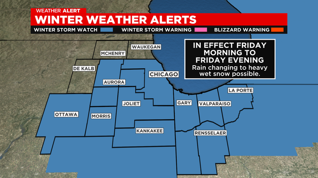
The storm system is expected to hit the Chicago area late Friday morning and into the afternoon.
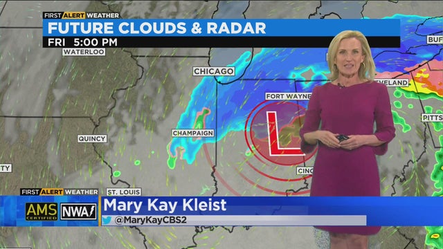
CBS 2 meteorologist Mary Kay Kleist has the 5 p.m. forecast for March 1, 2023.
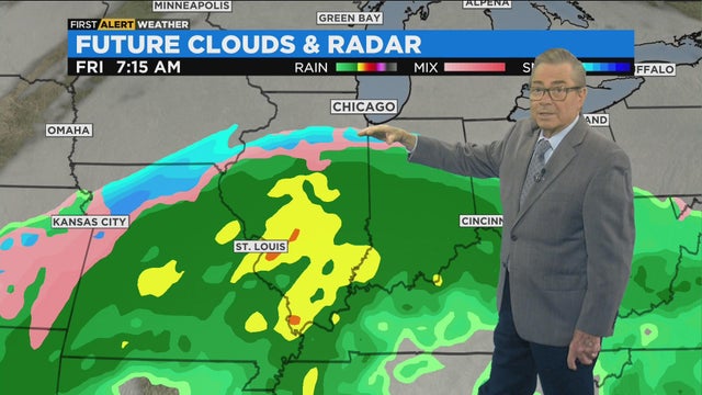
CBS 2 meteorologist Ed Curran has a look at the extended forecast.
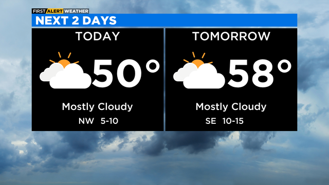
Tuesday's temperatures will be near 50 degrees with mostly cloudy skies.
The National Weather Service confirmed two tornados touched down in Naperville and Joliet.
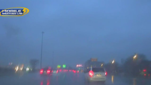
CBS 2's Mobile Weather Lab captured low visibility on the outbound Eisenhower Expressway along with other roadways.
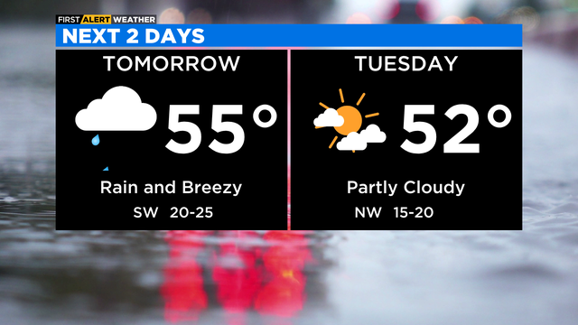
Rain is likely and could be heavy at times Monday, mainly in the morning.
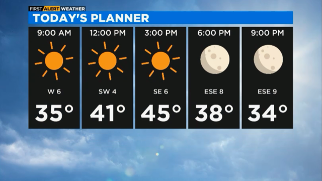
A sunny and warm Sunday with temps running about 10 degrees warmer than yesterday.
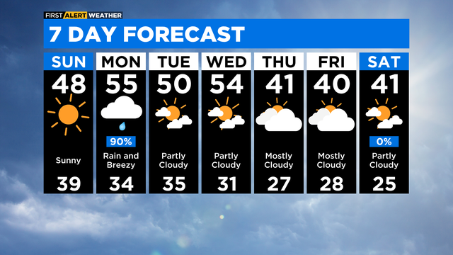
Expect mostly clear skies Saturday night and a low temperature of 30 degrees.
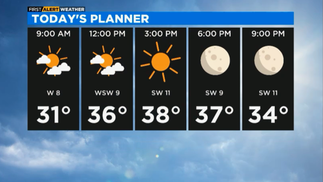
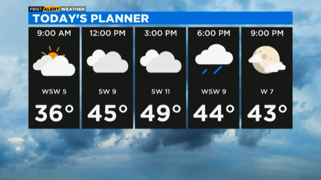
We'll see clouds decrease today and a nice increase in temperatures.
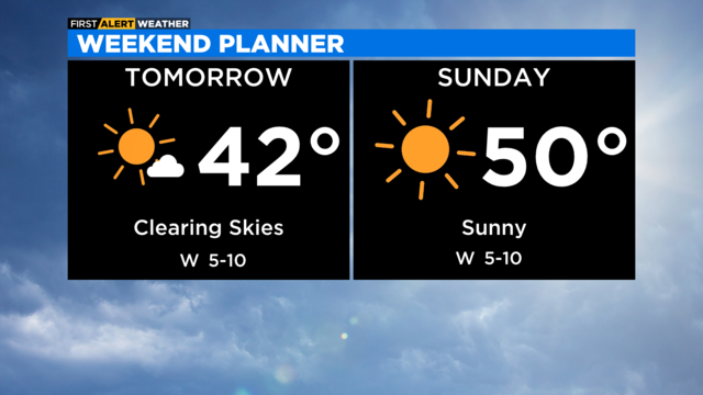
Beautiful weekend ahead with highs in the low 40s on Saturday, then near 50 degrees on Sunday with sunny skies.

Wind chills will be in the teens during the afternoon on Wednesday.
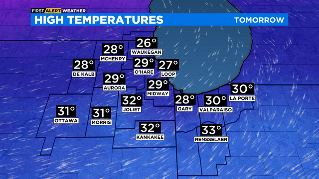
A wind off the lake will make locations near the lake cooler in the mid 20s.