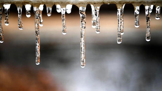
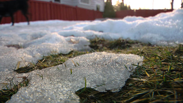
January thaw continues Friday in Twin Cities before dangerous cold returns
Minnesotans have one more day to enjoy the January thaw before the return of dangerous cold.
Watch CBS News

Minnesotans have one more day to enjoy the January thaw before the return of dangerous cold.

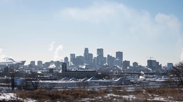
The week will wrap up with two mild days, but over the weekend highs will take a hit.
Wednesday begins an ascent to warmer days in the Twin Cities, but another harsh drop is ahead.
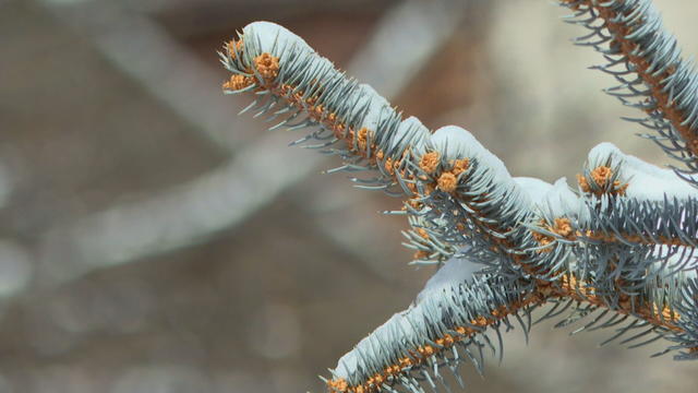
We will see some sunshine, but feels-like temperatures will be in the negatives.

Highs across the state will be in the single digits, and even colder in spots.
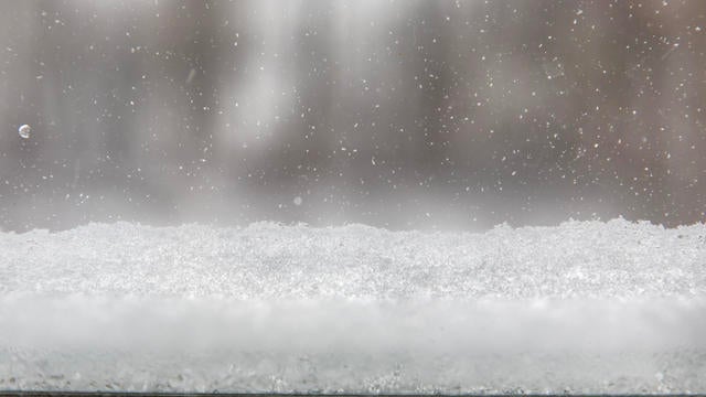
Aside from some flurries on Friday morning, it's a fairly quiet end to the week in the Twin Cities with a mostly cloudy sky.
Light snow is coming to the Twin Cities on Thursday, with a weekend clipper bringing accumulating snow and an arctic chill early next week.

Sunshine will return on Wednesday as things stay quiet ahead of a couple of snow chances in the coming days.
It will be quiet and cool again on Tuesday night in the Twin Cities, with temperatures falling back into the single digits.
Highs will be in the upper teens on Monday in the metro, with winds easing as the pressure gradient relaxes. Expect more sunshine.

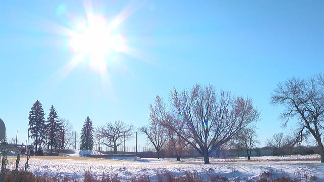
Friday will be quiet, sunny and cold in the Twin Cities.
Colder air continues to funnel in on Thursday, with the wind chill making it feel close to single digits in the Twin Cities.
The new year will bring colder air to Minnesota, with highs in the Twin Cities barely breaking 20 degrees.

The fog clears out on New Year's Eve as cooler air moves in, with light snow possible in the Twin Cities.
Dense fog will hold through Monday morning before a mix of rain and snow arrives later on for parts of the state.