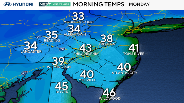
Monday starts chilly to kick off a sunny week in Philadelphia
The Philadelphia area can expect sunny skies all week.
Watch CBS News

The Philadelphia area can expect sunny skies all week.
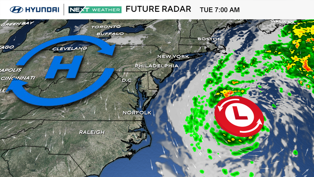
The Philadelphia area can expect a cold Sunday morning and a sunny afternoon.
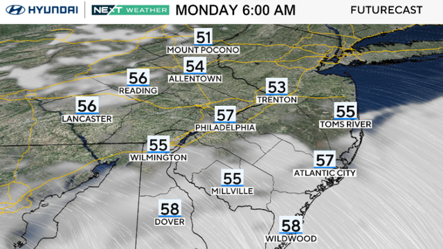
Monday in the Philadelphia region turns dry and breezy with a mix of sun and clouds and highs in the upper 60s to around 70.
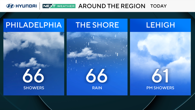
Sunday will be cloudy and cool, with highs in the low to mid-60s in the Philadelphia region.
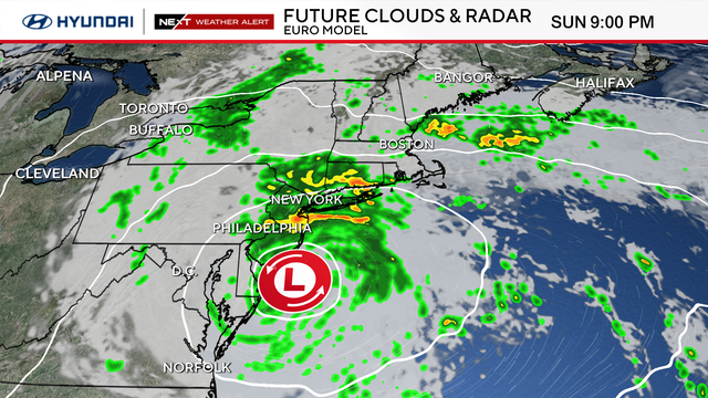
A strong nor'easter continues to bring rain, damaging winds and coastal flooding to the Jersey Shore and Delaware beaches.
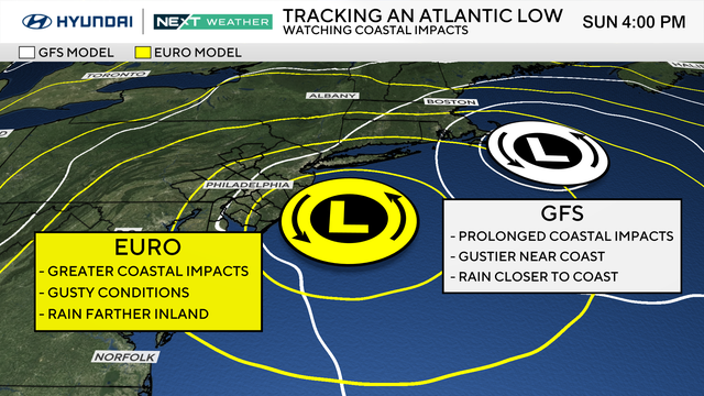
A nor'easter developing off the East Coast will bring several days of rough conditions to the Jersey Shore and Delaware beaches this week.
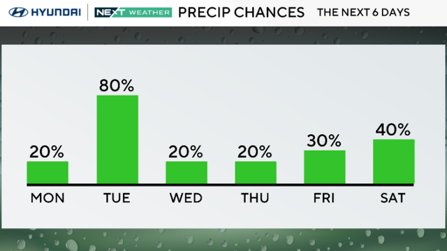
Monday in the Philadelphia region will be mostly cloudy and mild, with a chance of scattered rain.
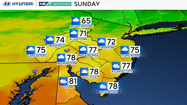
Sunday in the Philadelphia region will be cloudy with periods of rain before fall arrives this week.
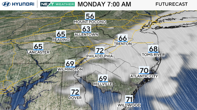
The Philadelphia area can expect a dry Monday with high temperatures in the 70s.
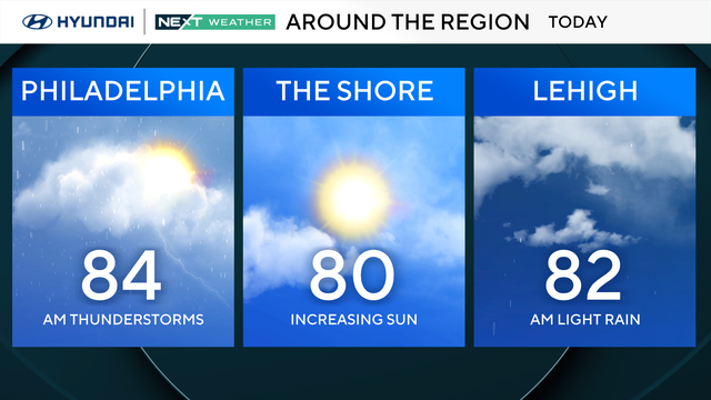
Skies will clear just in time for the Philadelphia Eagles' regular season opener vs. the Commanders.
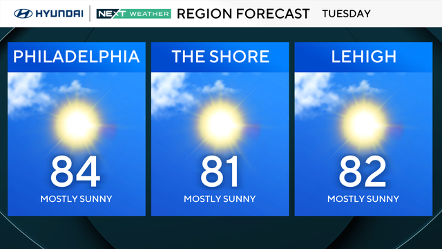
Tuesday in the Philadelphia region will be a sunny day with great weather as kids head back to school.
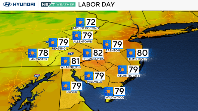
Labor Day will continue the beautiful weather we had Sunday, with even more sunshine, light wind and comfortable temperatures in the Philadelphia region.
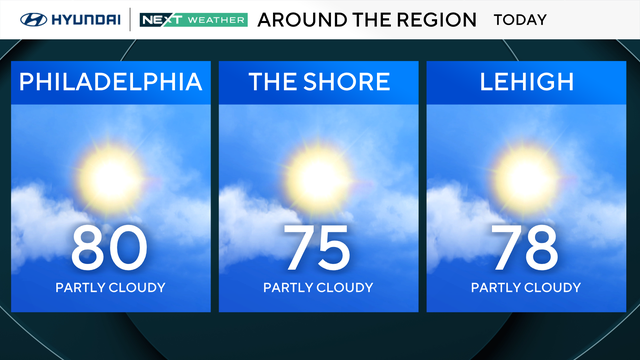
A very nice extended holiday weekend in the Philadelphia region continues into Sunday, although a few spots near and around the Jersey Shore may see a spotty shower or sprinkle.
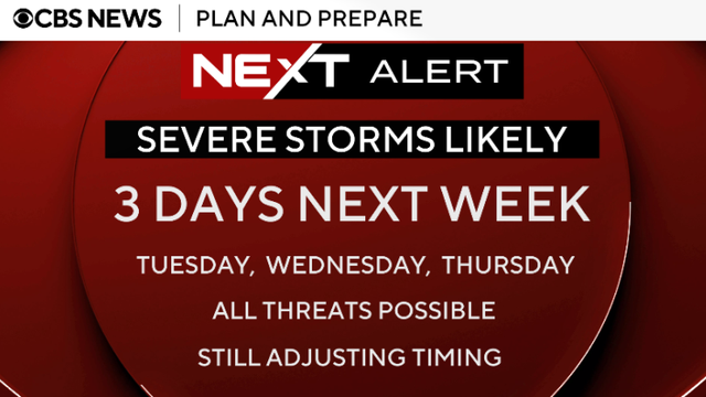
Monday, the final day of August, will be partly to mostly cloudy, with scattered showers, but the week ahead in the Philadelphia region will be unsettled.
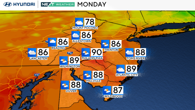
Monday in the Philadelphia region looks mostly quiet, although a few isolated showers or thunderstorms could pop up during the afternoon as a cold front moves through.