Storms move out of Philadelphia region Monday night, tracking stronger storms Tuesday

Storms are moving out of the Philadelphia region Monday night after triggering multiple weather alerts, including severe thunderstorm and flash flood warnings.
Monday's storms produced gusty winds along with heavy rainfall, and the NEXT Weather Team is tracking even stronger storms on Tuesday.
NEXT big weather changes
Plan, prepare and stay weather-aware this week because severe storms are once again possible.
A NEXT Weather Alert has been issued for Tuesday as a slow-moving area of low pressure will bring widespread showers and thunderstorms. Locally, heavy rainfall may produce flash flooding, especially in poor drainage and urban locations.
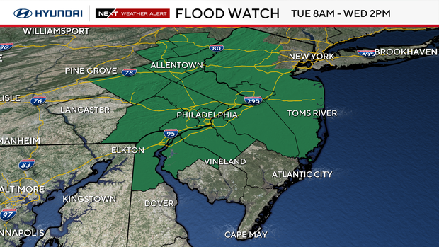
The National Weather Service has issued a flood watch for the Philadelphia region, except for Atlantic, Cape May and Cumberland counties in New Jersey, from 8 a.m. Tuesday until 2 p.m. Wednesday.
Here are the nuts and bolts of what an occlusion is:
- As the cold front catches up to the warm front over our area, they sort of zip together, creating a new front known as an occluded front.
- This meeting of the warm, cold and occluded fronts is known as the "triple point," an area that creates immense lift and spin in the atmosphere.
- Unfortunately for us, we are right under the "triple point."
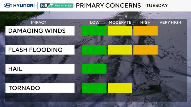
- Damaging wind gusts, flash flooding and isolated tornadoes are all possible.
- Don't be fooled by temperatures in the 70s on Tuesday. This severe threat will be driven by dynamics, not heat.
Wednesday's weather forecast in Philadelphia
The storm system begins to pull away, but scattered showers and thunderstorms remain possible, especially during the afternoon.
While a few stronger storms cannot be ruled out, the overall threat for severe weather and flash flooding is expected to be lower than Tuesday, with improving conditions expected later in the day.
Here's your 7-day forecast:
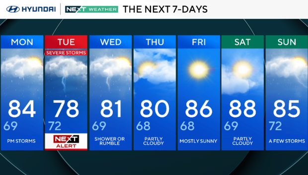
Monday: Evening storms. High 84, low 69.
Tuesday: NEXT Weather Alert day for storms. High 78, low 72.
Wednesday: Shower or rumble. High 81, low 69.
Thursday: Partly cloudy. High 80, low 68.
Friday: Mostly sunny. High 86, low 68.
Saturday: Partly cloudy. High 88, low 69.
Sunday: A few storms. High 85, low 72.


