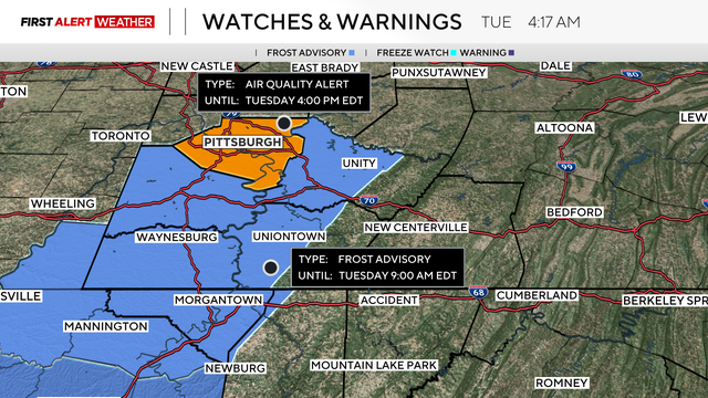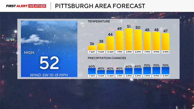
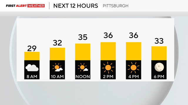
It's going to be a warmer day in the Pittsburgh area with chances of rain
The heaviest rain is expected from around 6 p.m. through 10 p.m.
Watch CBS News
The heaviest rain is expected from around 6 p.m. through 10 p.m.
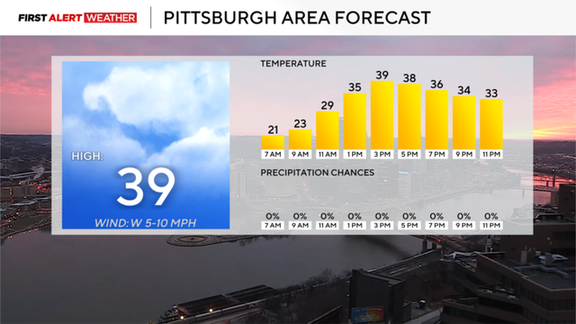
There is a chance Tuesday could end up a First Alert Weather Day due to freezing rain
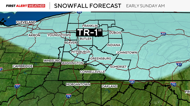
A cold front is passing through Pittsburgh on Sunday, which will lead to chilly temperatures.
Temperatures were about 3-4 degrees warmer than forecasted Saturday across most of the Pittsburgh area.
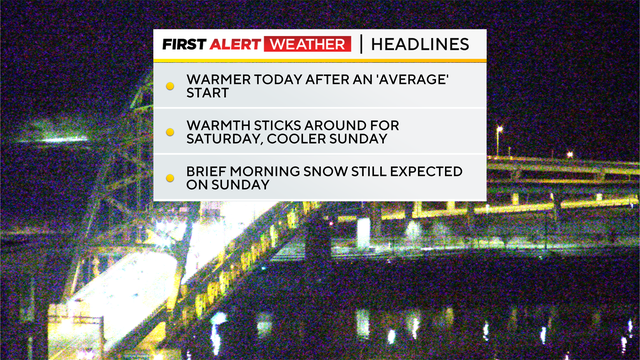
Temperatures are going to be quite nice over the next couple of days before a dip on Sunday.
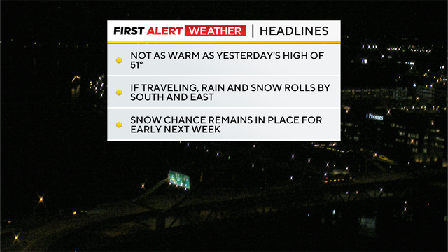
While temperatures will be cooler on Thursday, it will remain dry and mostly cloudy for the next couple of days.

Highs should reach into the 50s after a snowy morning.
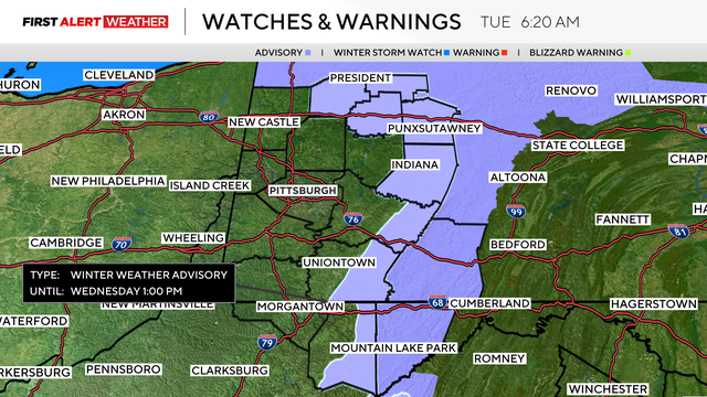
The snow could have minor impact on Wednesday morning's commute.
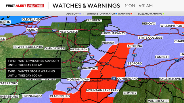
A winter storm warning was issued for the ridges of Westmoreland and Fayette County.
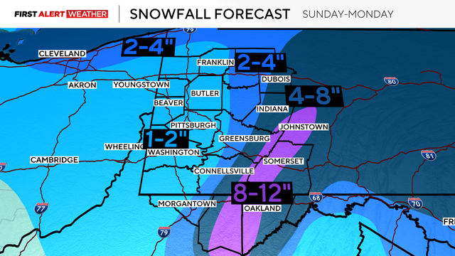
Snow began to fall overnight, and several areas find themselves under a Winter Storm Warning through late Monday night.
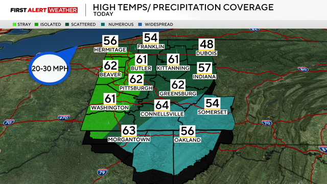
Between the rising temperatures, snow melt, and morning rain, the chances of flooding have increased in the Pittsburgh area.
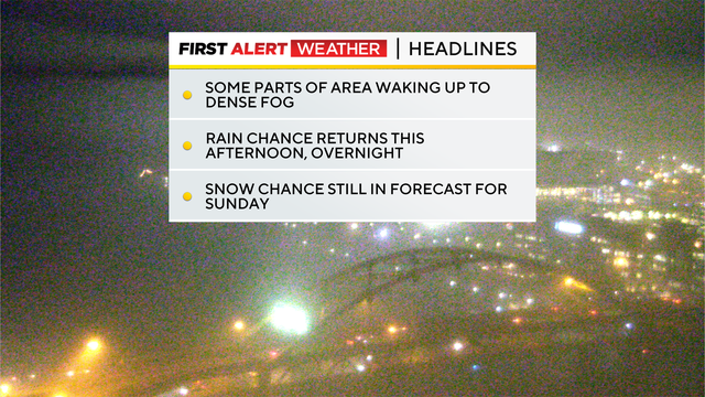
The temperatures will climb into or near 60 degrees in the Pittsburgh area on Thursday, but rain is coming with it.
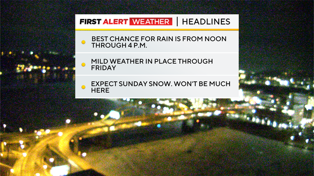
We could see some scattered rain to close out the week, and the possibility for snow returns on the weekend.
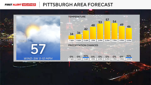
Rain chances and storm chances return to the forecast on Wednesday.
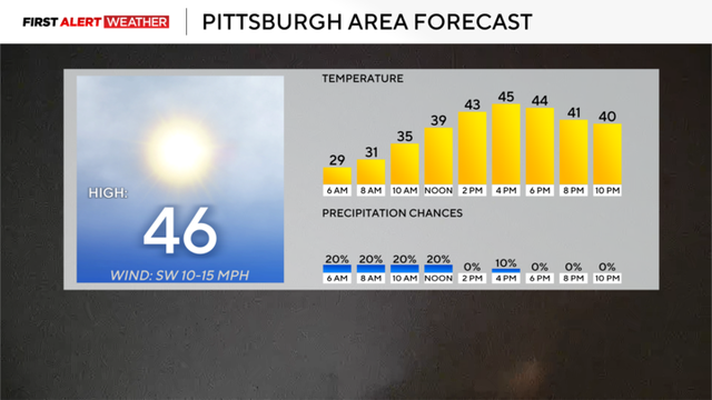
There's a chance temperatures in the Pittsburgh area get to the 60 degree mark today.
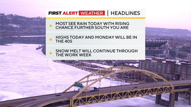
The stretch of warmer weather continues this week, but there will be rain chances on several days.
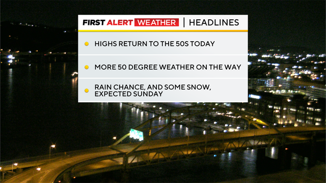
After cold and snow for a couple of weeks, temperatures are ticking up this weekend and into next week.
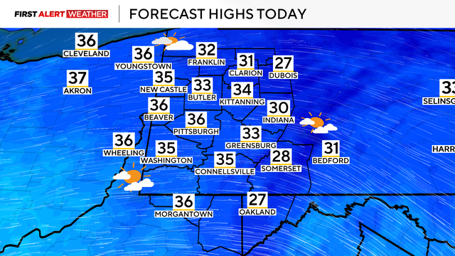
The weekend will see some warmer temperatures in the Pittsburgh area, but rain and even some more snow are looming.
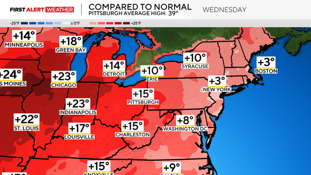
Some light snow flurries will continue on Thursday morning, but warmer temperatures are on the way.
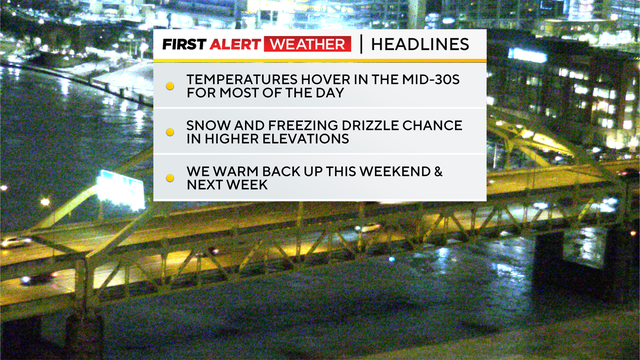
While we had a day of relief, temperatures will start to fall once again on Wednesday.
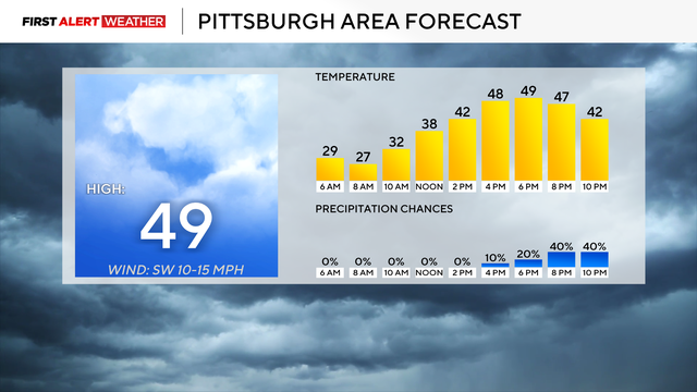
Temperatures will dip back into the 30s and 20s later this week.
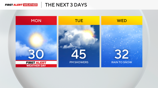
High temperatures will be in the 40s for the Pittsburgh area by tomorrow.
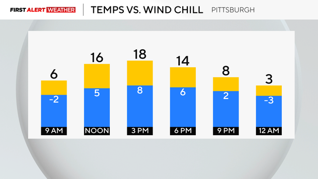
Sunday will be the last day of bitter cold as temperatures begin ticking up throughout the week.
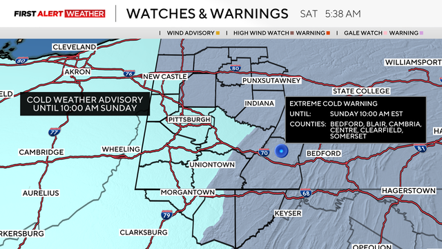
Temperatures will be in the single digits and below zero with wind chills in the Pittsburgh area.
Snow chances, including squalls and accumulating snow, are returning to western Pennsylvania on Friday.