Few areas in Pittsburgh will see rain on Thursday, but showers loom this weekend
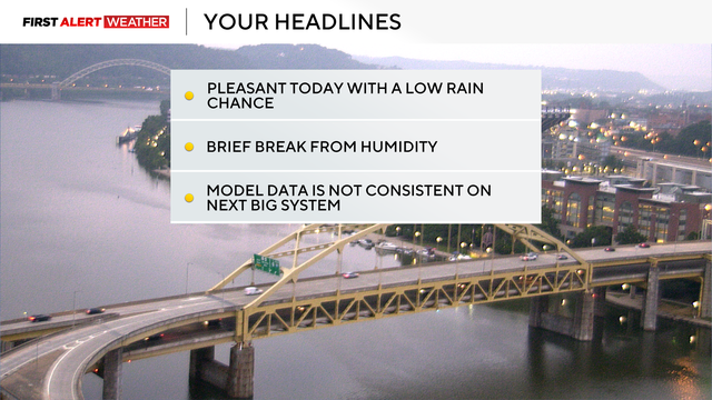
While Thursday will be mostly dry, showers do loom this weekend.
Watch CBS News
While Thursday will be mostly dry, showers do loom this weekend.
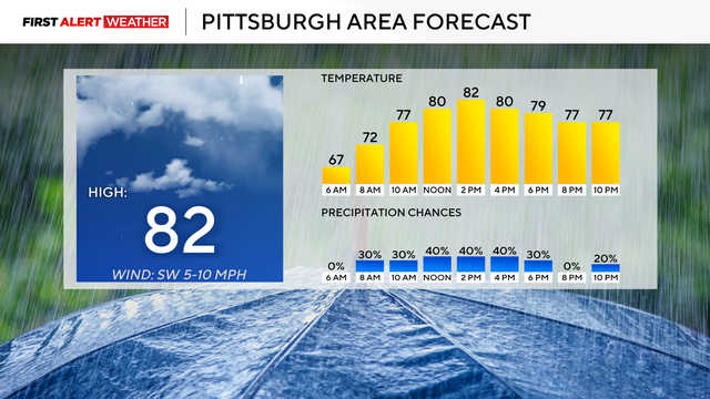
The highest chance for rain today will be to the southwest of Pittsburgh
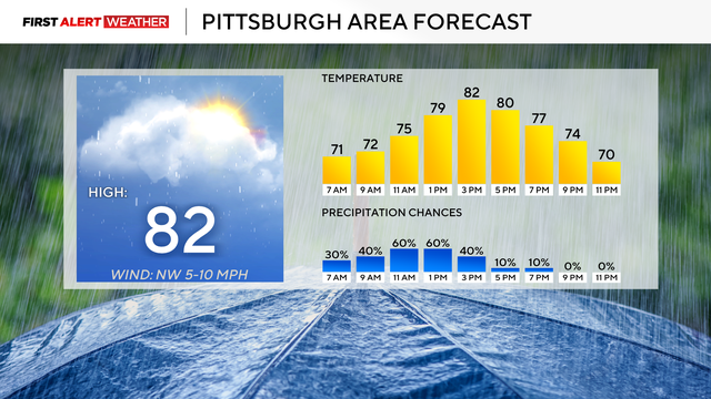
Right now, it looks like rain chances will be highest from 9 a.m. through 4 p.m. today.
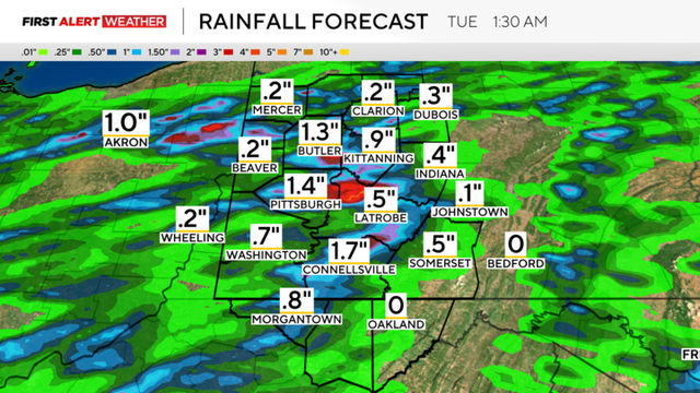
Today will be a First Alert Weather Day beginning at Noon due to flash flooding risk.
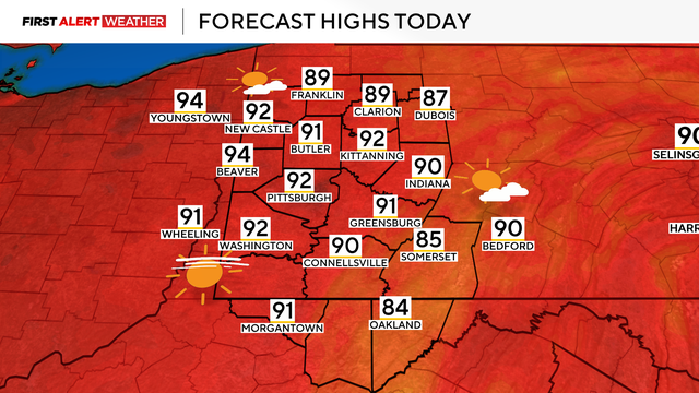
We're in for another hot day with potential storms looming on Monday.

You might have heard the term St. Elmo's Fire from the movie, but it's also a meteorological phenomenon!
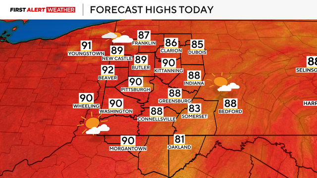
With fireworks lingering and heat on the way, we're in for another high-temperature weekend.
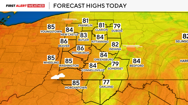
The 4th of July will be dry and warm, but heat is on the way.
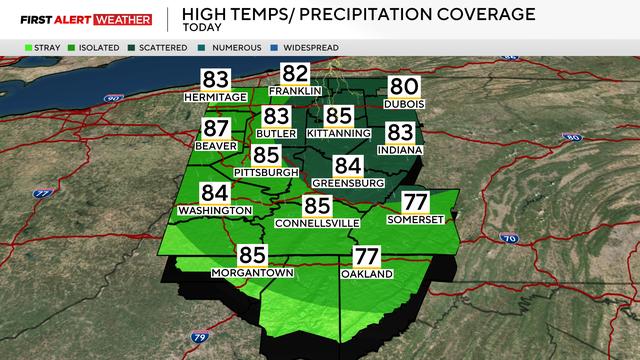
Some areas in Western Pennsylvania could see isolated storms today before a sunny and comfortable 4th of July.
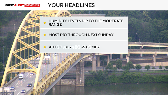
The next few days will be really enjoyable as the 4th of July approaches.
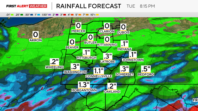
Today's rain chance comes a little earlier than what we have seen over the past couple of days, with most dry after 5 p.m. tonight.

Today is a First Alert Weather Day with the chance for severe weather in western Pennsylvania.
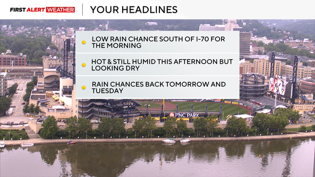
We'll get a break from rain and storms, but the humidity and heat is sticking around.
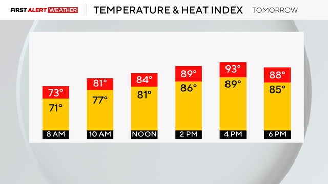
While the hot weather isn't quite done, the storms and rain aren't either.
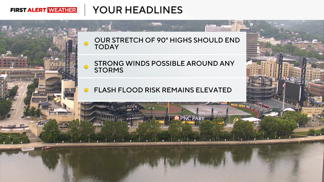
After a stretch of hot weather, Pittsburgh will finally see some cooler temperatures.
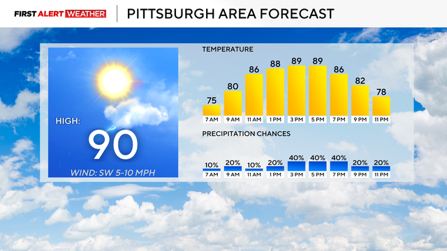
The heat continues on Thursday, but the worst of it is now in the past.
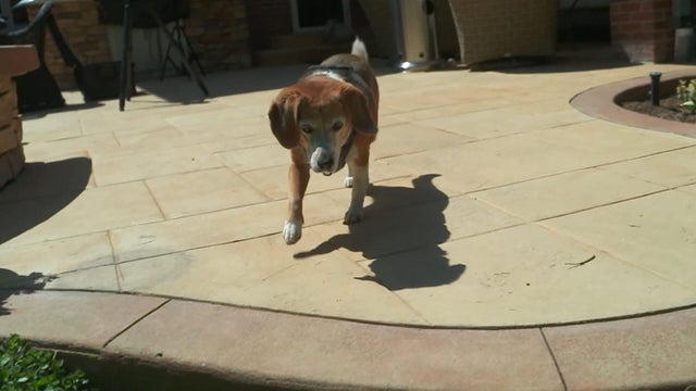
If it's too hot for you, it's too hot for your pets.
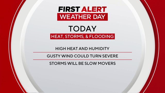
After a stretch of dry and hot weather, the heat remains on Wednesday, but rain cannot be ruled out.
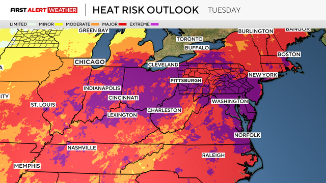
Tuesday is the third 90-degree day in a row for the Pittsburgh area.
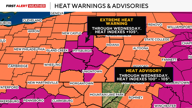
Severe weather is possible Tuesday and Wednesday, along with the extreme heat warning in western Pennsylvania.
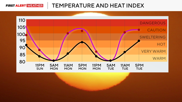
The stretch of hot weather begins Sunday as temperatures reach into the 90s.
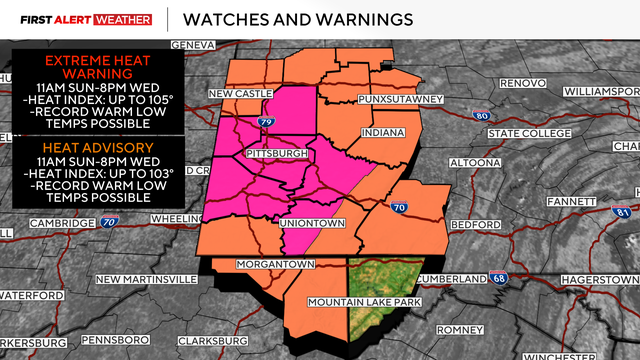
Dry weather starts this weekend, but the temperatures begin to spike on Sunday.
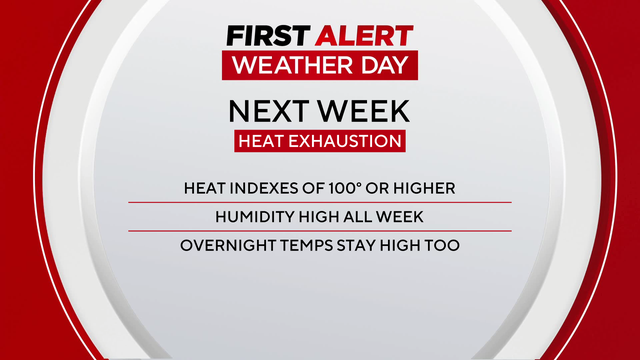
The rain is mostly done with us, but now the heat is coming our way.
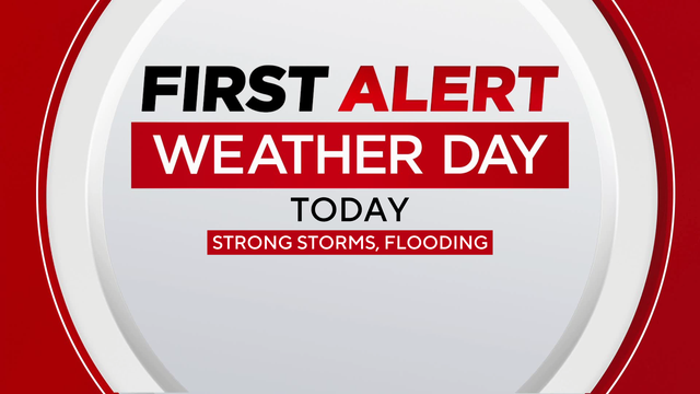
Before we get to the high temperatures next week, we've got one more day of wet and soggy conditions.
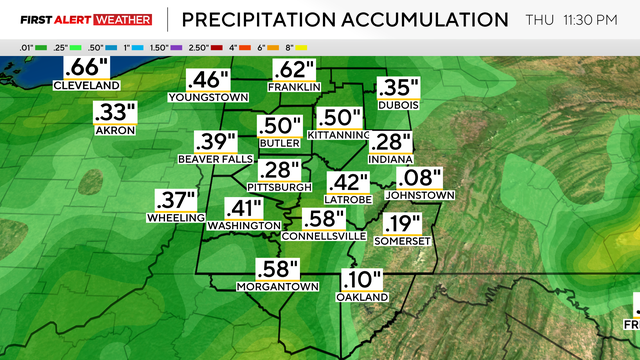
The rain chances are sticking around on Wednesday, and so does the flood risk.