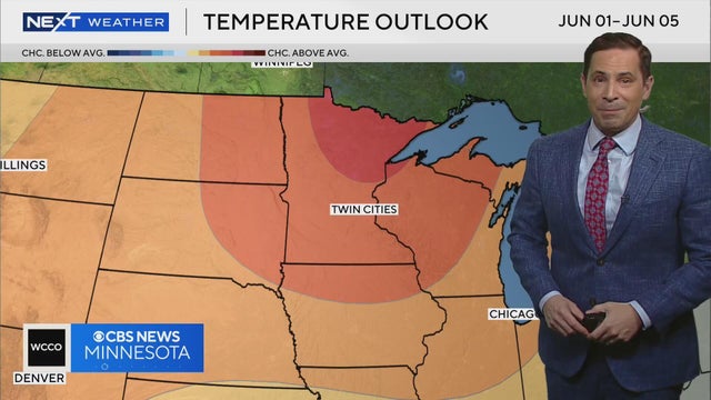
We could see a dry summer, adding to our drought conditions
Our recent rain has not helped our summer drought conditions. Our warm spring could mean a warmer summer.
Watch CBS News
Our recent rain has not helped our summer drought conditions. Our warm spring could mean a warmer summer.
Thursday will feature a few peeks of sunshine in the Twin Cities, along with a chance of an isolated afternoon shower.
Passing showers are possible over the next couple of days in parts of Minnesota, but most areas should stay dry.
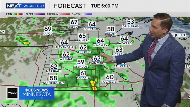
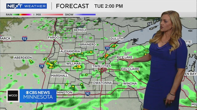
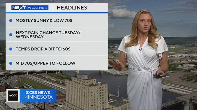
Showers will pass by Tuesday and Wednesday, before warmer weather returns to the mix.
Meteorologist Mike Augustyniak says we will see a warming trend starting on Friday with temperatures possibly reaching the low 80s.
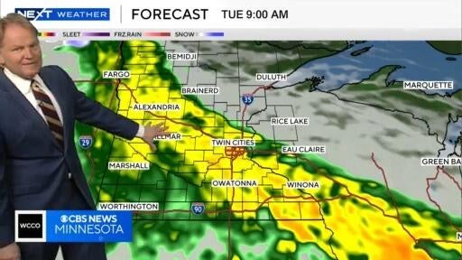
Meteorologist Mike Augustyniak says patchy light showers will develop late Monday night, with rain possible in the Twin Cities for Tuesday's morning commute.
Some patchy showers are expected to develop overnight, but most of Tuesday looks like it’ll stay dry.
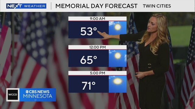
Memorial Day will be mostly dry in Minnesota, with a mix of sun and clouds and highs in the 70s.
70s for the next two days, allowing for a nice but below average Memorial Day. Rain chances return on Tuesday. Lisa Meadows breaks down the timing and when we could hit the 80s.
We have chances for rain in our future, but nothing like we've seen. Sunday and Monday will see temps in the high 60s to low 70s, rain chances move in Tuesday. We do have a chance at hitting 80 degrees in our future. Lisa Meadows breaks it all down and what you can expect over the holiday.
We have temps in the 70s for Sunday and Monday. Lisa Meadows breaks down the next 7 days and shares when we could hit the 80s again.
WCCO Meteorologist Lisa Meadows says temperatures on Memorial Day will start out in the low 50s and rise to around 70.
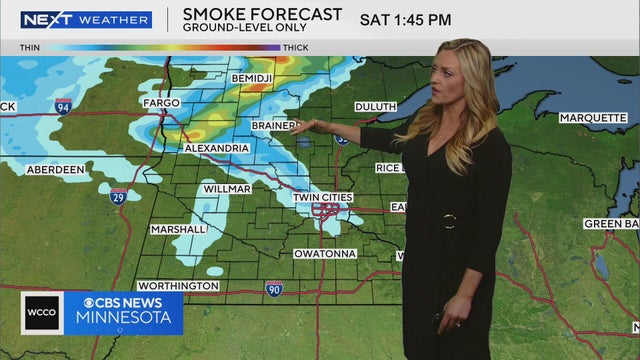
WCCO Meteorologist Lisa Meadows says parts of northern Minnesota could be impacted by wildfire smoke from Canada on Saturday.
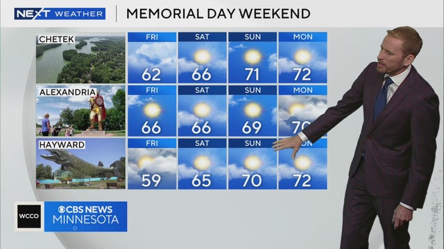
WCCO meteorologist Adam Del Rosso says Memorial Day weekend should be fairly comfortable for people heading to northern Minnesota or Wisconsin.
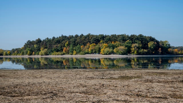
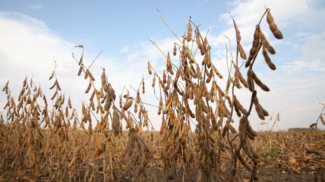
Even with the recent rains, moderate drought and abnormally dry conditions continue to cover 80% of Minnesota.
Rain will taper off slowly on Wednesday in the Twin Cities, then several dry, warmer days follow.
This week's rain has given some respite from ongoing drought conditions. But as of May 15, a quarter of Minnesota is still in a moderate drought.
The Twin Cities and other parts of the state are getting soaked this week.
Meteorologist Chris Shaffer says we'll see rain for Tuesday's morning and evening commute.
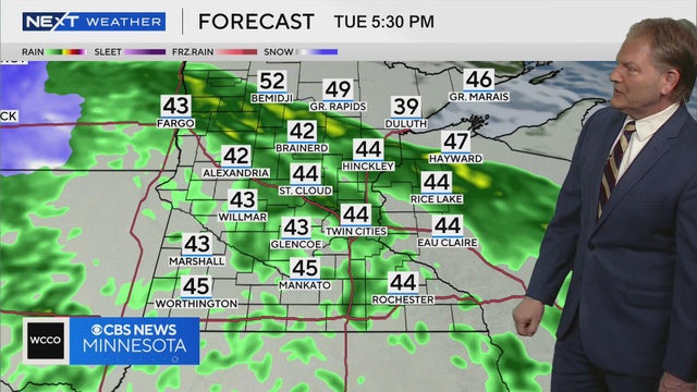
Meteorologist Chris Shaffer says Tuesday will likely feature steady, wind-whipped rain, with temperatures in the 40s.
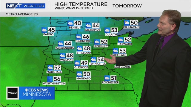
WCCO meteorologist Chris Shaffer says Saturday will feel like April, with temperatures forecasted to be in the mid-50s around the Twin Cities.
Minnesota will see one more hot day on Wednesday before storms arrive, bringing with them a big cooldown.
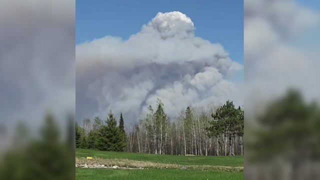
Heat from the recent wildfires raging in northern Minnesota is so intense, that under the right circumstances, they can actually create storms in the atmosphere.
The heat will hold in Minnesota on Tuesday as elevated fire danger and poor air quality continue.
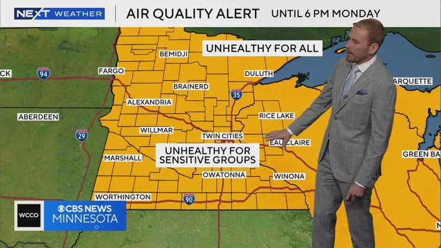
A red flag warning and air quality alert will be in effect in Minnesota on a hot, windy Monday.