NEXT Weather: 10 p.m. report on June 16, 2025
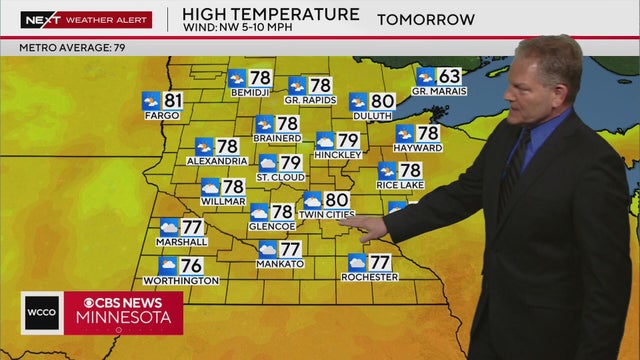
Next Weather Meteorologist Chris Shaffer says the high temperature in the Twin Cities on Tuesday is expected to be around 80 degrees, with more calm conditions than Monday.
Watch CBS News
Next Weather Meteorologist Chris Shaffer says the high temperature in the Twin Cities on Tuesday is expected to be around 80 degrees, with more calm conditions than Monday.
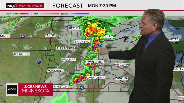
There’s a potential for severe weather in central Minnesota on Monday evening, according to NEXT Weather Meteorologist Chris Shaffer.
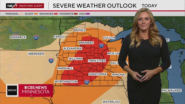
Severe thunderstorm warnings were in effect in the Twin Cities early Monday afternoon. Meteorologist Lisa Meadows breaks down where the system is moving, and the chance for more storms in the evening.
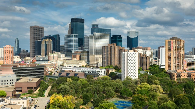
The Father's Day forecast looks mostly dry and warmer in the Twin Cities, though some storms could develop later on south of the metro.
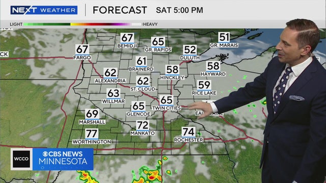
Temperatures on Saturday are expected to be in the upper 60s, with the exception of southern Minnesota where highs will reach near 80, according to meteorologist Mike Augustyniak.
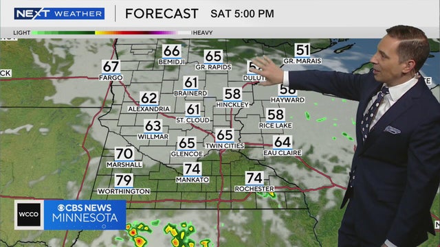
Meteorologist Mike Augustyniak says this weekend will be cloudy and drier than the last few days, though there’s still a chance for scattered showers.
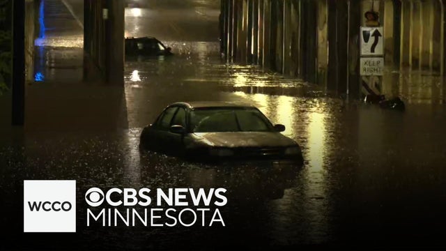
Minnesotans have seen plenty of rain this week, and more is on the way for parts of the state, bringing the risk of flash flooding.

Rain returns to the Twin Cities on Wednesday, with light showers starting early and building in the evening.
Spotty showers will linger into the afternoon on Monday, then we'll get a brief break before more rain arrives later in the week.
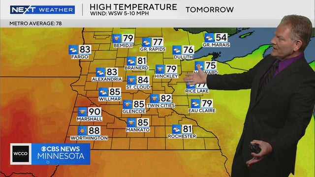
Meteorologist Chris Shaffer says high temperatures are expected to be in the low 80s on Tuesday, and rain returns to Minnesota on Wednesday.
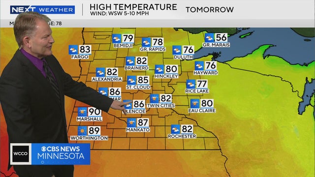
Meteorologist Chris Shaffer says Tuesday is expected to be mostly sunny with highs in the low 80s.
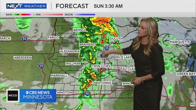
Meteorologist Lisa Meadows says the best chance for rain is late Saturday night while most are sleeping.
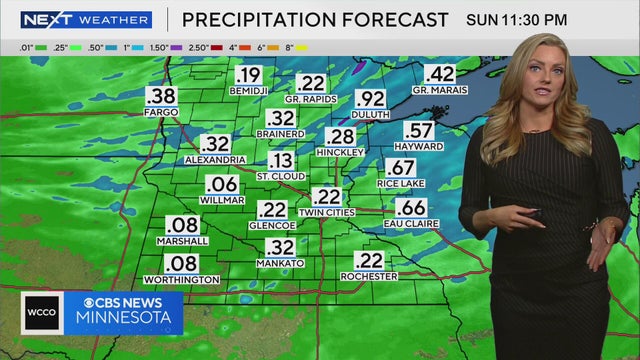
Meteorologist Lisa Meadows says passing showers will move through Minnesota on Saturday night, and there is a chance smoke from Canadian wildfires could impact air quality in the state on Sunday and Monday.
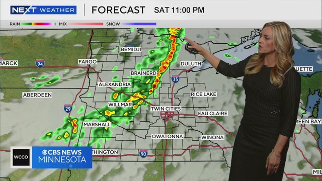
Meteorologist Lisa Meadows says a line of showers will move through Minnesota on Saturday evening.
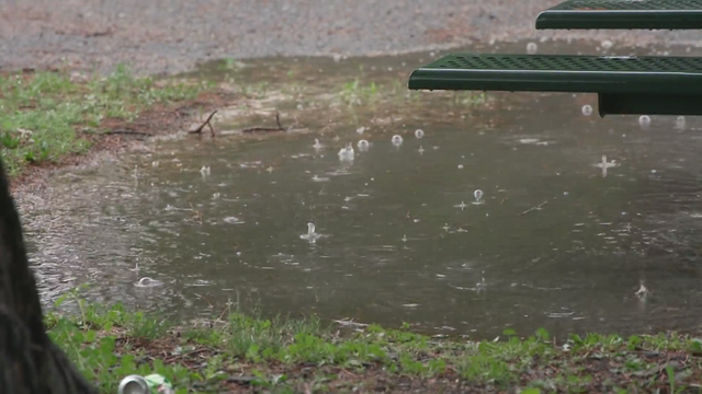
The weekend won't be a washout, but Minnesotans should keep their umbrellas handy.
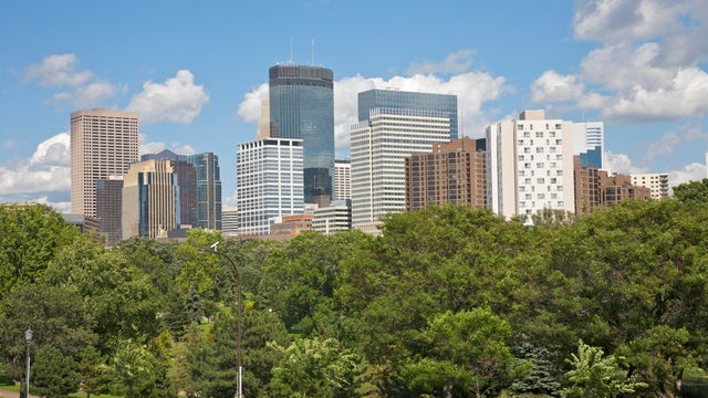
Expect a high around 80 degrees. The rain should hold off until after dinner.
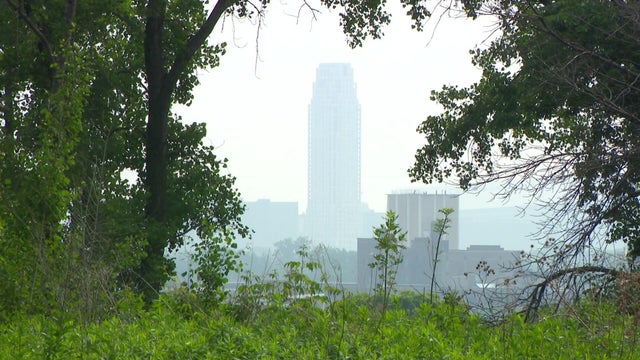
Tracking how that smoke will move from Canada, or when it's going to cause problems at the surface, isn't easy.
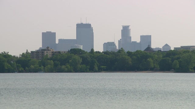
Air quality alerts from Canadian wildfire smoke expired Wednesday across Minnesota, with sunny skies and highs in the upper 70s in the Twin Cities.
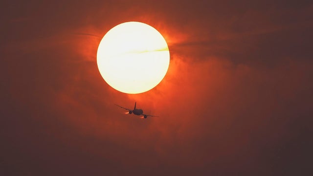
An air quality alert remains in effect through Wednesday at noon for most of Minnesota, though conditions should improve in the overnight hours.
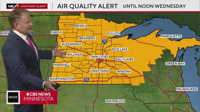
The Minnesota Pollution Control Agency has issued an air quality alert for the entire state of Minnesota and parts of Wisconsin until 12 p.m. Wednesday.

Meteorologist Chris Shaffer says a line of showers and thunderstorms are moving across the state Monday evening, with some having the potential to be severe.
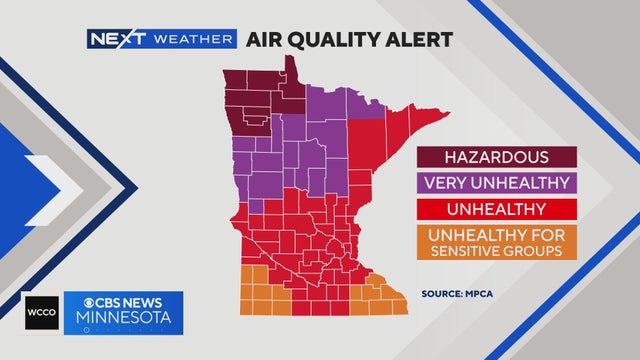
A severe thunderstorm watch is in effect until 7 p.m. for areas northwest of the Twin Cities, and all of the state is under an Air Quality Alert.
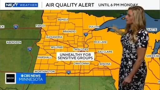
The Minnesota Pollution Control Agency has issued a statewide air quality alert, including all tribal nations, that will be in effect through 6 p.m. Monday due to smoke from the raging wildfires in Canada's Manitoba and Saskatchewan provinces.
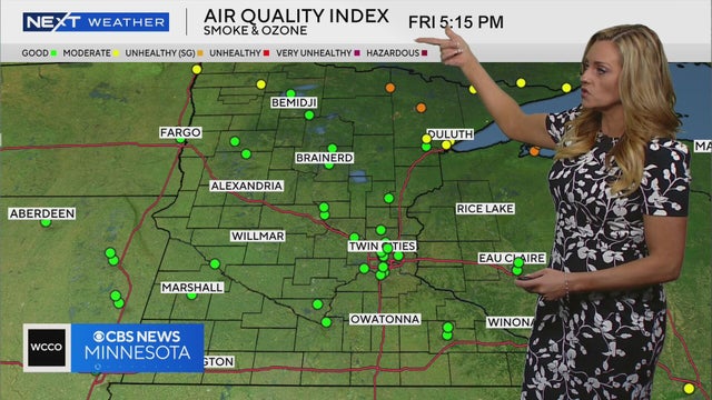
Meteorologist Lisa Meadows says waves of wildfire smoke from Canada may impact air quality in Minnesota over the weekend.
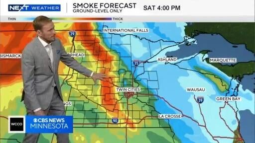
Waves of smoke will be coming in from Canada through the weekend.