Latest Weather Forecast, And A Look Back At The Blizzard Of '67
On this 45th anniversary of the infamous blizzard of 1967, conditions in Chicago are calm and mild, with temperatures expected to hit the 40s.
Watch CBS News
On this 45th anniversary of the infamous blizzard of 1967, conditions in Chicago are calm and mild, with temperatures expected to hit the 40s.

Conditions will be comfortable and largely sunny for the rest of the day – and the work week – until snow and sub-freezing temperatures return just in time for the weekend.

Is all this snowy weather giving you cabin fever – but don't feel like packing the car to hit the slopes? Well, snowshoeing is the perfect excuse to don your cold-weather gear and get outside this winter. You'll burn calories and maybe even spot some snow-loving animals along the way. There really is nothing quite like exploring a pristine forest, covered with a white blanket of snow. Here are some tips.

Chicago is getting slammed by all the worst of winter Friday, with dangerous cold in the morning giving way to a snowstorm that could dump up to 8 inches.


Thursday's brutal cold temperatures were expected to usher in as many as eight inches of snow Friday for some areas.

A day that began with rain and mild temperatures is giving way to cold, snow and blustering winds.

While Chicago will be treated to some relatively mild weather on Monday, temperatures will start dropping overnight--with freezing rain and snow developing for the Tuesday morning rush hour.

Here are 24-hour snowfall totals for the Chicago area, January 13, 2012. (Source: National Weather Service reports, filed at 10 a.m. Friday)

Bitter cold has set in after the snowstorm Thursday, as people struggle to get around, clean up, and start their cars.

Here are some snowfall totals for Chicagoland, January 12, 2012.

Spring in January is officially over, as the first major snowstorm of the season blanketed the Chicago area, forcing airlines to cancel hundreds of flights and threatening to make a mess of the evening rush.
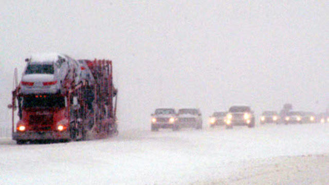
Enjoy the last day of spring in January Wednesday, because within 24 hours, a powerful snowstorm will be clobbering the Chicago area – and it could make for a dangerous commute.

The calendar says Jan. 10, but it certainly doesn't feel like it. But that will be changing soon enough.

With little or no snow in the forecast, Chicago may soon break the record for the least-snowiest start to winter.

Light flurries have tapered off for most of the Chicago area, but lake effect snow in northwest Indiana could bring a lot of snow to that region by Tuesday.
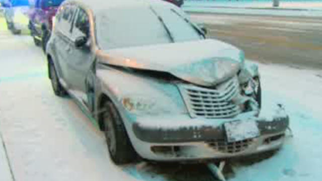
A coating of light snow made the roads a mess early Monday morning.
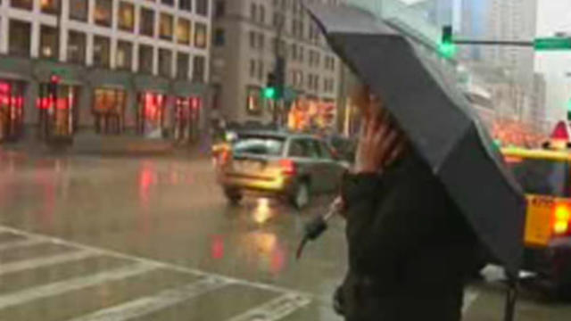
Rain will continue off and on through the afternoon as a stubborn system circulates around a low-pressure area.

This winter's unusually mild weather has been both a blessing and a curse, depending on what type of business you happen to run.

Winds will pick up as the day progresses, as the temperature slowly transitions from a high of 40 down to the more seasonable 30s.
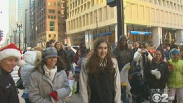
Mostly sunny, but seasonably chilly conditions will continue through the day, with a high of 35 degrees.

City officials want Chicagoans to know they are ready for snow, even if the snow isn't yet ready to fall.

It seems that we'll likely be denied a white Christmas this year, but snow is in the forecast for Thursday afternoon.
Fog will continue to lift in the Chicago area Wednesday afternoon, but light drizzle and dreary conditions are expected.