Chicago Weather: Friday To Be Cooler, But Still Above Average
Chicago saw record-breaking warmth this Boxing Day with lots of clouds, but some peeks of sun.
Watch CBS News
Chicago saw record-breaking warmth this Boxing Day with lots of clouds, but some peeks of sun.

CPR saves lives, but the American Heart Association reports that 70% of Americans feel helpless in a cardiac emergency, because the don't know what to do.
Snow could mix in briefly with the rain expected Monday evening into Tuesday morning.
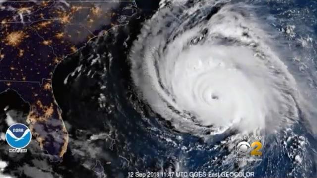
Meteorologist Megan Glaros is right in the storm's bullseye in Wrightsville Beach, North Carolina.
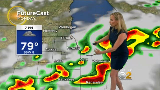
Heavy thunderstorms capable of producing heavy winds, rain and hail could develop this afternoon in time for the evening commute.
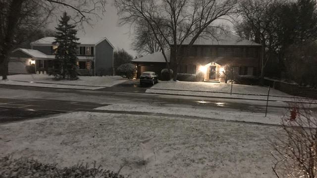
The far northern suburbs got up to 2 inches of snow overnight, but plows and salt trucks kept roads and expressways clear overnight.
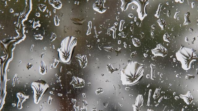
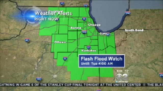
A flood watch has been issued for most of northern Illinois and northwest Indiana from 6 p.m. Monday through late Tuesday night.
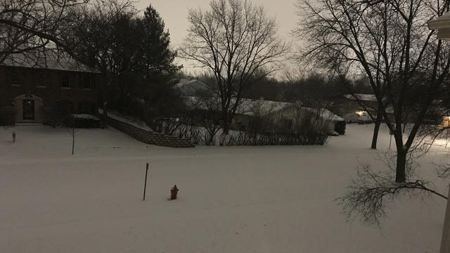
The snow is expected to clear for most of the Chicago area by noon, but before that, up to 5 inches could accumulate in some areas.
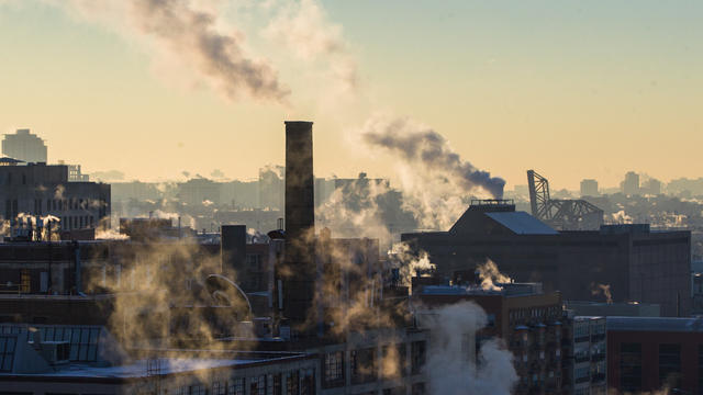
This bone-chilling stretch of extremely cold weather in Chicago could tie a record for the longest stretch of temperatures below 20 by the end of the week.
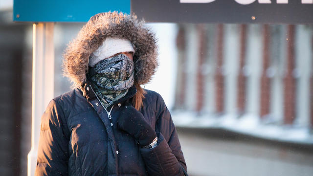
The temperature at O'Hare, the city's official recording site, dipped to 32 degrees early Monday, according to the National Weather Service.
Tornadoes tearing through nearby towns, winter hail storms, temperature swings smashing records. What does this mean for the seasons ahead?
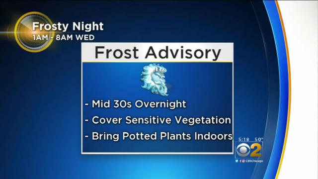
The National Weather Service issued Tuesday a Frost Advisory for northern Illinois into Wisconsin from 1 a.m. to 8 a.m. Wednesday.
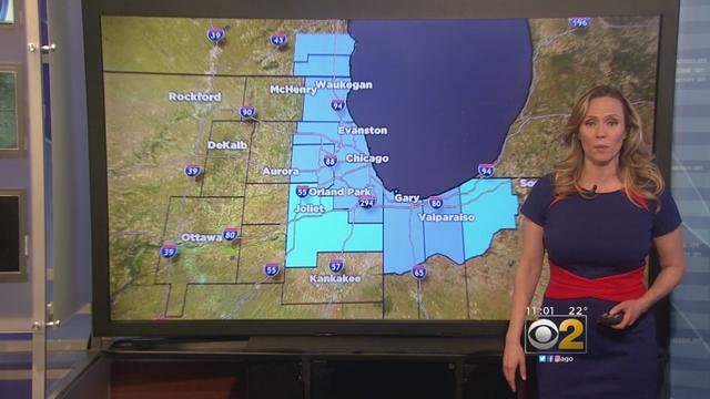
The Lake Effect Snow Warning issued Monday morning by the National Weather Service remains in effect for the Chicagoland area.
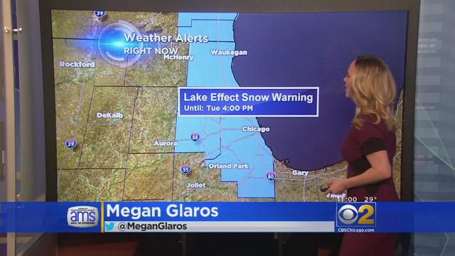
The National Weather Service issued Monday morning a Lake Effect Snow Warning for the Chicagoland area.
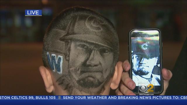
New Style Barbershop's Miguel Rosas will be offering free Cubs logo cuts at the ACME Hotel Downtown from 10 a.m. to 3 p.m. Friday.

Monday was expected to be a pleasantly warm summer day, but temperatures will be dangerously hot by the end of the week across the entire state.
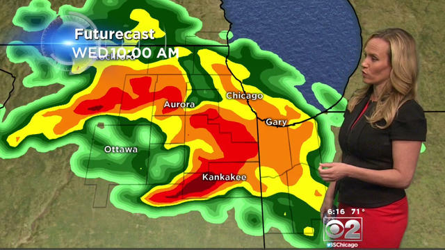
The storms will be capable of producing rainfall rates up to 2 inches per hour and could cause localized flash flooding, the weather service said.
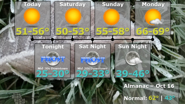
A very chilly weekend is ahead for Chicago, and the National Weather Service has issued a freeze warning for Friday night, as temperatures could drop into the 20s across much of the area.

CBS 2's Megan Glaros recently sat down with Corden in Los Angeles about his own success already both on CBS and on Youtube.
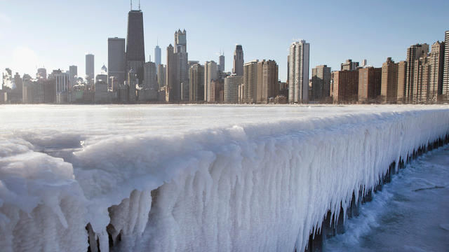
CBS 2's Megan Glaros says there may be a few surprises ahead.
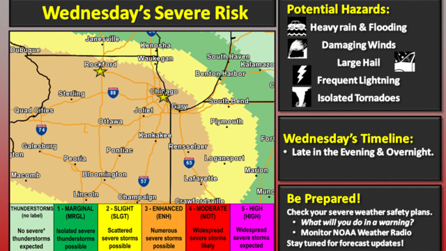
With several areas south and west of Chicago only starting the recovery process after nine tornadoes touched down during Monday night's storms, more severe weather was expected to hit the area Wednesday night and early Thursday.
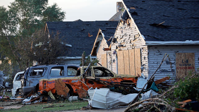
National Weather Service crews were headed out Tuesday to try to confirm reports of up to six tornados touching down Monday in Grundy, LaSalle, Lee, and Will counties, including three already confirmed in Ottawa, Sublette, and Coal City.

Rain in the Kankakee area was sparking concerns about more flooding, along the swollen Kankakee and Des Plaines rivers, which were already at or beyond flood stage on Tuesday in some spots.
As heat and humidity build through the day on Monday, so will the chances for showers and thunderstorms.

Thursday could bring the kind of summery heat Chicago hasn't seen this time of year in more than five decades.