Heat Wave
It's setting up to be a 'heat wave' across Southern New England!
Watch CBS News
It's setting up to be a 'heat wave' across Southern New England!
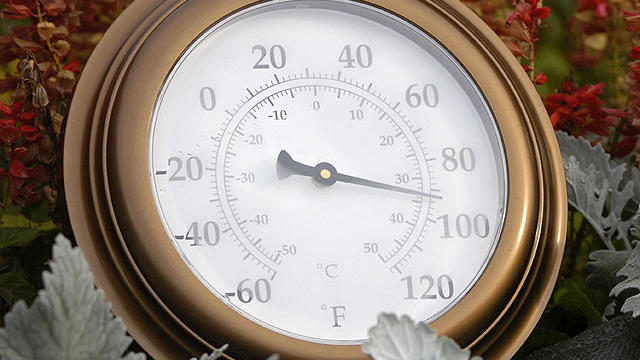
There is also a real chance at hitting 100 degrees today in Boston, which would be the first 100-degree day in the city in June in 60 years.
It will be just as hot, if not a degree or two hotter. Hazy, hot, and humid conditions will prevail as highs reach 95-100!
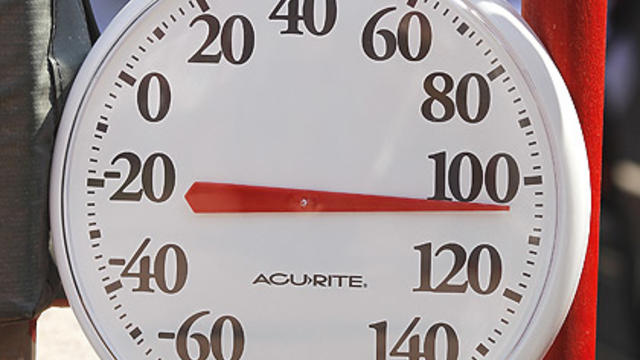
This could be our first 100 degree day in June in 60 years!
Temperatures have been on the cool side for the majority of June thus far. However, temperatures are skyrocketing today as well as tomorrow!
The last full day of Spring is going out with sunshine and warm temperatures.

Summer officially begins on Wednesday at 7:09 p.m., and will likely coincide with our first 90-degree day of the year.
We will go from 'mild to hot' by midweek...also known as 'warm to a scorch-a'!
The title must've caught your attention! Sunshine is in the forecast through the middle part of next week along with a warming trend that could catapult high temperatures near 90F! The sunny stretch is compliments of a blocking ridge.
As a cold front continues its slow eastward movement and upper level ridging builds, sunshine will be making a breakthrough today! For areas outside of 495, sunshine will be the name of the game all-day long. However, the coastal plain will slowly see the sunshine breakthrough as the morning turns to afternoon.
This morning, windshield wipers will get a workout, and umbrellas will be in hand. A cold front will continue its slow progress eastward today.
We are going to squeeze out another dry day. High level cloud cover has already worked its way into Southern New England.
Today's sunshine will be accompanied by an east-southeast breeze that will pick-up to 5-15mph this afternoon.
Amongst the clouds and few scattered showers (mainly the latter half of the day for interior locales), the sunshine will be playing 'peek-a-boo' with the cloud cover today!
We have one more day of overcast skies before peeks of sunshine return to the forecast.
Today will be 'more of the same'. The dreary weather will continue with clouds, showers, and drizzle.
It's June 1st...the beginning of the Atlantic Hurricane Season '12! We will squeeze out another dry day with lots of sunshine. However, a frontal boundary and an area of low pressure will create a cloudy, rainy, and cool day on Saturday.
Sunshine is currently emerging from the clouds and fog. The sunshine will take longer to appear near Cape Cod and the Islands, which should occur by midday.
Today will be cloudy, muggy, and showery through midday.
A stationary front is pushing northward as a warm front. Geographically, this places us in the 'warm sector' of this midlatitude cyclone.
It will be a mainly dry Memorial Day '12. There will be lots of clouds as well as a slim chance of an afternoon or evening shower/thunder, mainly north and west.
Today will kick-off with clouds, spot showers and storms, and coastal fog. Conditions will improve after ~3pm as we head into the evening hours.
Today will start with some patchy fog across southeastern Massachusetts, but as that lifts, we will enjoy some sunshine before afternoon storms begin to develop. The best chance for thunderstorm development will be after 2pm for neighborhoods outside of the 495 corridor, including Central and Western Mass. and southern NH.
A frontal boundary SLOWLY pressing eastward will be the culprit for a few afternoon showers and storms (best chance: north and west of Boston) for the next few days.
We are going to be stuck in this dreary pattern for the next few days. However, some periods of sunshine can be expected starting tomorrow.