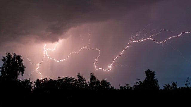
Overnight storms possible Monday, Tuesday in southern Minnesota
A round of rain will pass south of the Twin Cities overnight Tuesday, with a few severe thunderstorms possible. It will likely stay dry in the metro.
Watch CBS News

Director of Meteorology Mike Augustyniak was drawn to Minnesota by a love of active weather, and the opportunity to forecast for some of the most weather-savvy television viewers in the country.
Since joining the WCCO team in 2008, his forecasts have helped you prepare for Minnesota's increasingly extreme weather — including one of the coldest winters on record, one of the hottest summers on record, and the largest single-day tornado outbreak in Minnesota history — and all the small-but-important moments between. As the creator of the CBS Weather Watcher Network, leader within the CBS eTeam and Central Weather Group, his expertise helps to support and train CBS newsrooms across the country.
Mike's interest in weather began at an early age.
"I think my curiosity about the weather was fueled by the fact that, as a little guy, I was absolutely petrified of thunderstorms!"
In time (and with the help of a book called "Hippo Thunder"), Mike outgrew his fear, deciding in eighth grade that he wanted to study weather in college.
"The answers I gave on a 40-question 'interest survey' were fed into a computer, and the computer returned several careers that I might enjoy," Mike explained. "'Meteorologist' was one of the jobs the computer returned, and right then I knew it was the job for me." Mike studied atmospheric science under several of the world's leading research scientists at the University at Albany, where he received his Bachelor and Master of Science degrees. Findings from his master's thesis - original research on a local terrain effect called Mohawk-Hudson Convergence — is currently in use to help meteorologists make more accurate forecasts around the region.
Today, he continues to support lifelong learning, science, and scientists by serving as the past Commissioner on Professional Affairs for the American Meteorological Society and its 12,000 members. He is active in local and national non-profit organizations such as the National Marrow Donor Program (formerly 'Be the Match'), Twin Cities Pride, Twin Cities United Way and more.
Mike has appeared on the BBC, the Ellen DeGeneres Show, CBS Sunday Morning (where he serves as the show's meteorologist) and many other CBS News outlets. His work has been recognized with multiple Emmy Awards for broadcast excellence. He is an AMS Certified Broadcast Meteorologist, an AMS Certified Consulting Meteorologist, and is also a member of Phi Beta Kappa.
In his free time, Mike stays active by going to the gym, biking, mixing cocktails and traveling with his husband.
A round of rain will pass south of the Twin Cities overnight Tuesday, with a few severe thunderstorms possible. It will likely stay dry in the metro.

Communities across Minnesota saw impressive rainfall totals on Friday as wet weather crawled across the state.
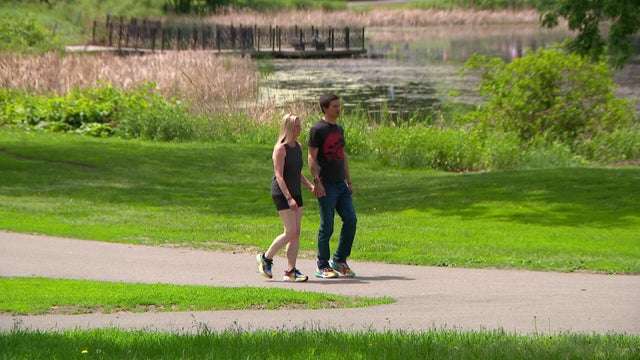
Saturday will be a #Top10WxDay, with low humidity and calm winds in Minnesota.

One day after the Twin Cities experienced its hottest day of year so far, a near-record dew point was set early Monday, reaching 81 degrees at 2 a.m. Humidity, however, has since dropped.
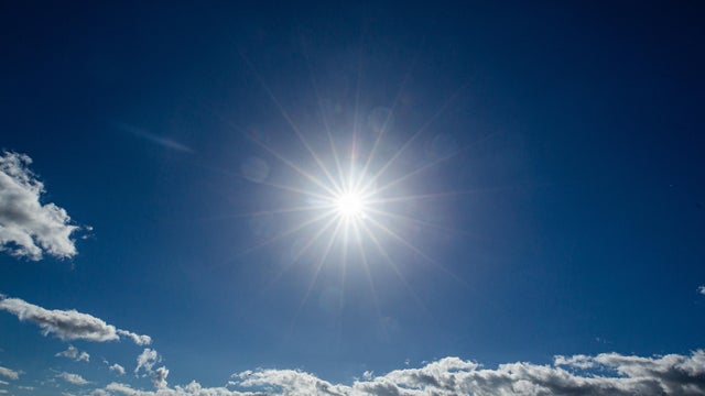
WCCO has issued NEXT Weather Alerts for Saturday and Sunday for temperatures in the mid-90s and peak heat indices around 105 degrees on both days.
Monday will be the 10th consecutive day in the Twin Cities with highs in the 90s — the longest such streak since July 1948.

Slightly cooler conditions are in store for the Twin Cities on Saturday and Sunday. Further north, poor air quality will remain a concern through the weekend.

The high temperature in the Twin Cities on Saturday will reach around 90 degrees with a heat index in the low 90s.
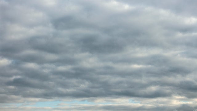
The Twin Cities will deal with off-and-on showers and rumbles Wednesday. Expect gray and muggy conditions, even though it's a bit cool for this time of year with highs in the low 80s.

Storms are passing through northwest and northern Minnesota late Monday ahead of a hot Tuesday in store for the state.
The Twin Cities is about to enter one of the most uncomfortable stretches of weather in months, with dangerously hot conditions set to dominate the forecast through the end of the week.

There will be sun, a few clouds and a light breeze in Minnesota on Saturday and Sunday. The comfortable weather comes after storms rolled through the central region of the state on Friday.
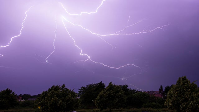
Scattered showers and storms will remain possible through the evening across much of southeastern Minnesota, including parts of the Twin Cities metro area.
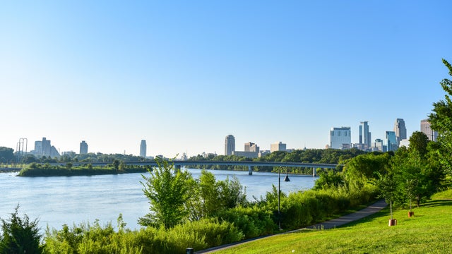
Saturday and Sunday will be breezy and cool in the Twin Cities as crisp Canadian air settles in.
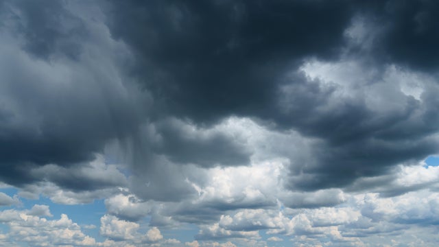
Thursday will bring scattered showers, occasional thunder and a much cooler feel to the Twin Cities.