Temperatures to hit mid-60s Wednesday; rain returns Valentine's Day weekend
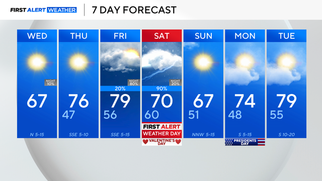
It will be sunny, cooler and less humid Wednesday, with morning temperatures in the 40s and afternoon highs expected in the mid-60s.
Watch CBS News

It will be sunny, cooler and less humid Wednesday, with morning temperatures in the 40s and afternoon highs expected in the mid-60s.

The high Monday will climb into the 70s by lunchtime and top out around 82 degrees by 4 p.m.
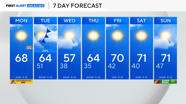
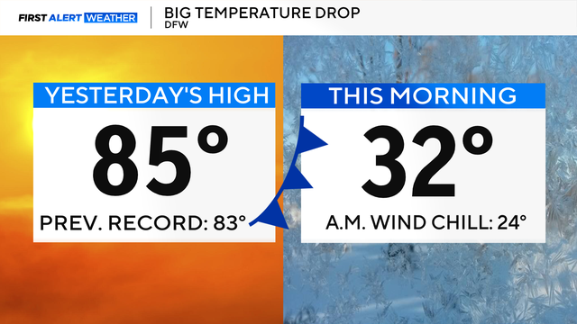
Following a cold weekend in North Texas, we kicked off the workweek on a warmer note, with highs near 70 for much of the metroplex.
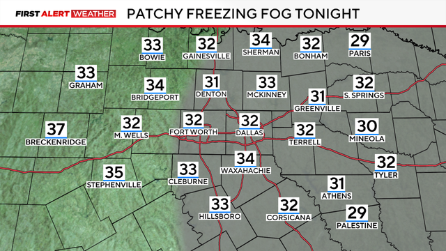
A First Alert Weather Day is in place due to the freezing fog advisory, which is in effect through 11 a.m. Wednesday, visibility will be under three miles.
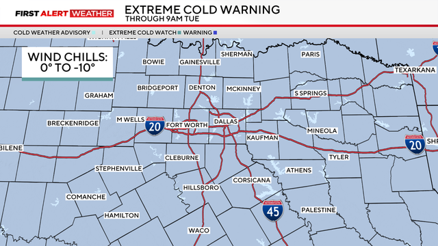
An extreme cold warning is in effect through Tuesday morning due to wind chills from 0 to -10 degrees covering the region.
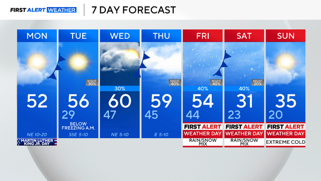
An arctic air mass is set to bring dangerously cold air and wintry precipitation to North Texas this weekend. We have issued First Alert Weather Days for Friday through Sunday for all of this.
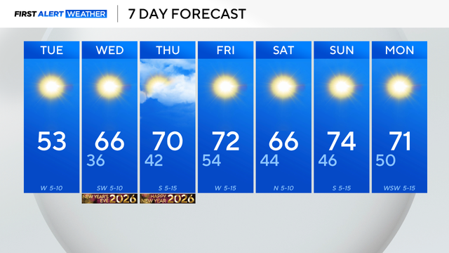
Dallas-Fort Worth saw highs in the low 70s on New Year's Day, about 15 degrees above normal, with warm, dry conditions expected to continue into next week.
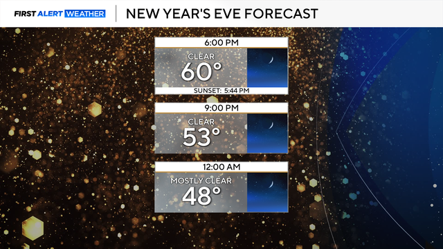
North Texas is ending 2025 with sunny skies, mild temperatures and one of its driest Decembers on record.
Temperatures across the area dropped below freezing in the 30s and 20s, and winds from the northwest at 5-10 mph made it feel like the 20s and teens.
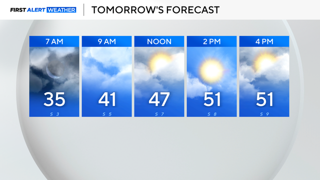
Tuesday morning will still be chilly, as winds remain out of the north and skies continue to clear.
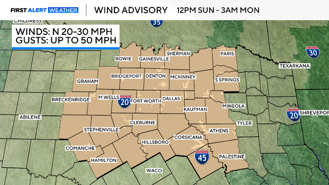
A wind advisory is in place beginning at noon Sunday through Monday morning, as gusts up to 50 mph will be expected.

Thursday morning in North Texas is mild and humid ahead of a cold front that will move through, increasing winds.
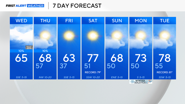
Expect plenty of clouds throughout the day today with highs rising up into the mid-60s.

Temperatures stay cool and below average into Monday afternoon with highs in the lower 50s.
Expect clouds to gradually break as we get through the day on Friday, with highs warming to the lower 50s in the metroplex by afternoon.