
Heat indices to rise as high as 116 degree across North Texas
Wednesday, July 22, is a First Alert Weather Day as an extreme heat warning remains in place.
Watch CBS News

Wednesday, July 22, is a First Alert Weather Day as an extreme heat warning remains in place.
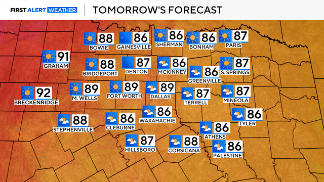
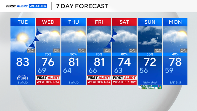
That heat sticks around Sunday, with forecast highs in the upper 90s to near triple-digits.
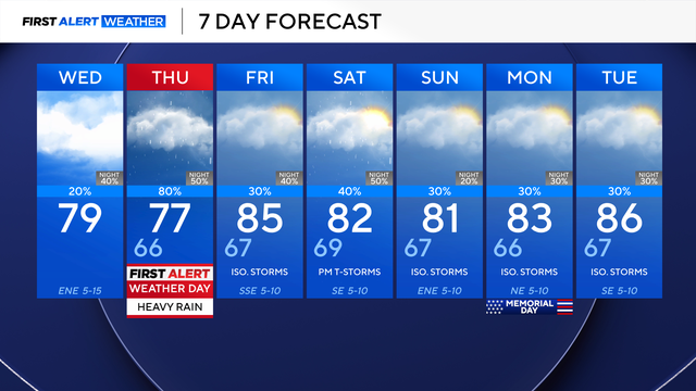
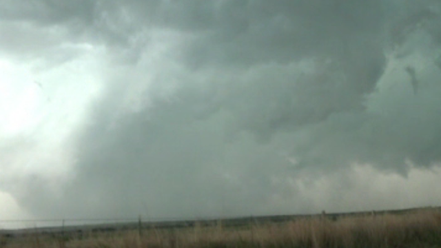
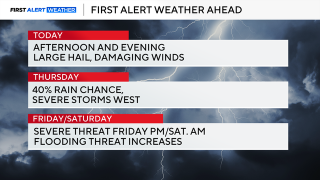
Thursday is a First Alert Weather Day due to the threat of heavy rain and non-severe thunderstorms.
We'll deal with rounds of heavy rain, starting Thursday afternoon and evening. That rain picks up as we get into Friday.
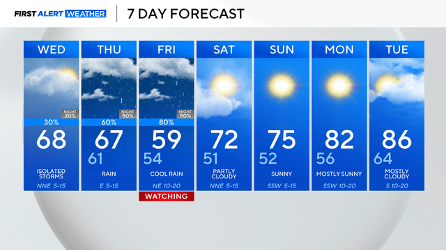
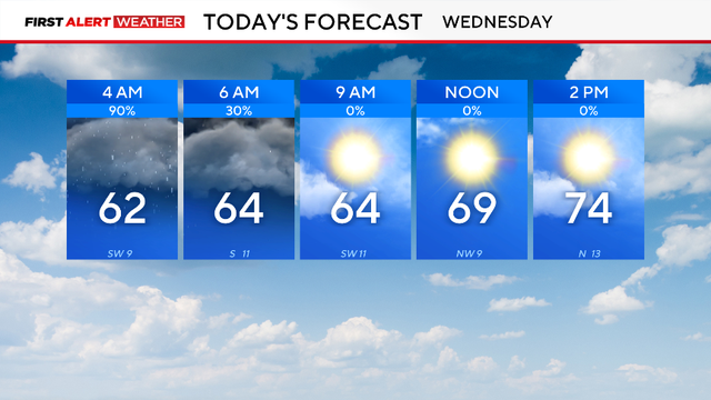
The weather will quiet down overnight and cool down on Wednesday, with cloudy skies and highs in the 70s.
Parker County said one person has died as a result of the storms on Saturday night.
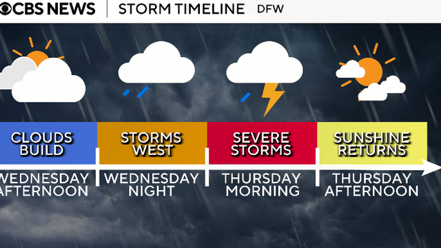
Looking ahead to Wednesday, the day will be dry throughout the day ahead of the first round of storms that move in overnight into Thursday.
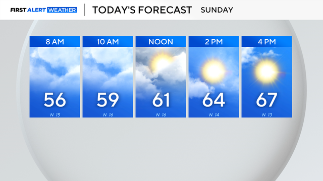
Expect plenty of clouds before the sunshine in the afternoon. It will be breezy at times, with some gusts up to and possibly over 20 mph.
A First Alert Weather Day is in place for Wednesday morning due to the threat of flooding.

Forecasters say the timing of the front may affect morning travel and outdoor plans.

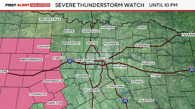
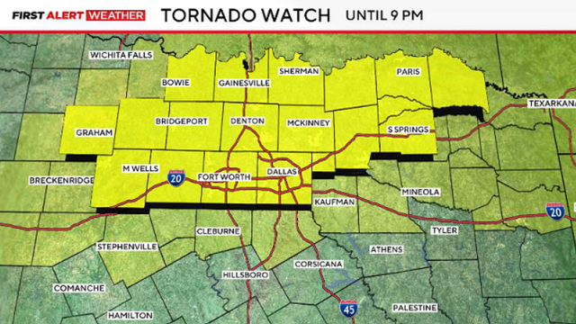
Friday has the biggest expected chance of severe weather, with most of the region under a level two (slight) risk.
The severe weather threat begins around 5 p.m. Wednesday and continues through midnight.
Clouds will decrease throughout the afternoon, and winds will stay breezy coming from the south, gusting up to 20 mph.
Even with that record rain, though, the region is still well below normal for rainfall this winter season, with a deficit of 4.3".

Temperatures will warm into the mid-70s in the afternoon with a mix of sun and clouds.