Chicago First Alert Weather: Clouds stick around
According to CBS 2 meteorologist Mary Kay Kleist, Wednesday starts out dry and stays dry through lunch time.
Watch CBS News

According to CBS 2 meteorologist Mary Kay Kleist, Wednesday starts out dry and stays dry through lunch time.
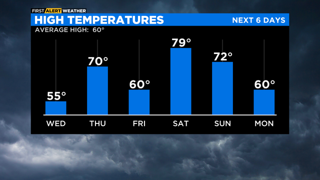
Despite the chill of the early part of the week, there's a big warmup on the way for the weekend.
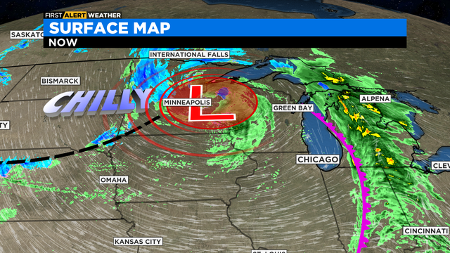
The first front moved through Chicago overnight with rain. Now the second part of the system will pull colder air into our area for the next few days.
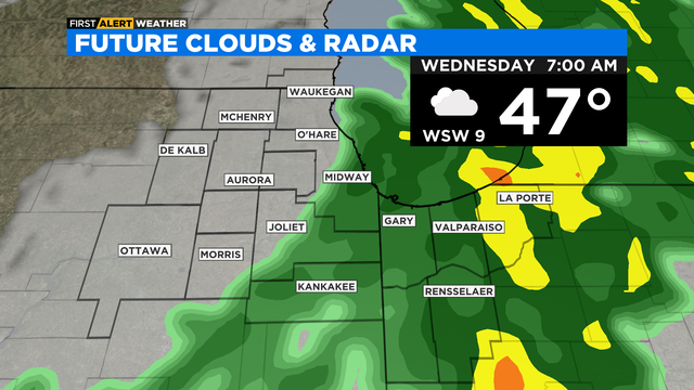
Leftover showers will come through Wednesday morning.
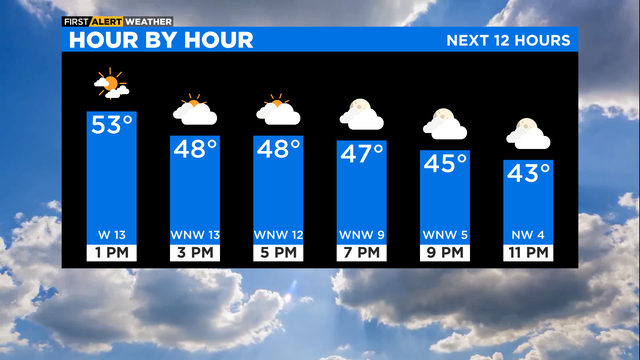
According to CBS 2 meteorologist Mary Kay Kleist, there's a push of cooler air into Friday will create a rain/snow mix to close the workweek.
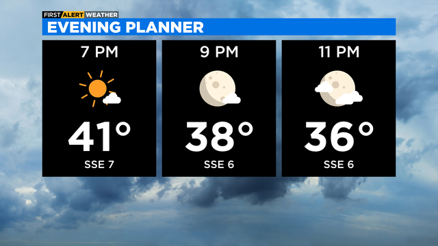
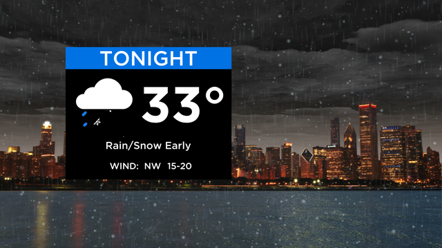
Turning cloudy tonight as our next system targets Chicago. We start cloudy tomorrow morning with rain & snow showers increasing.
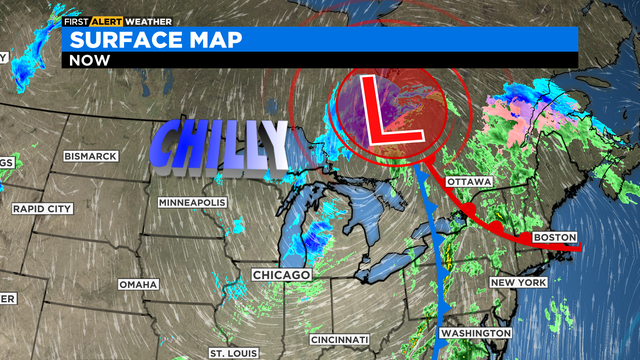
Gradual clearing begins overnight with sun expected for Friday.
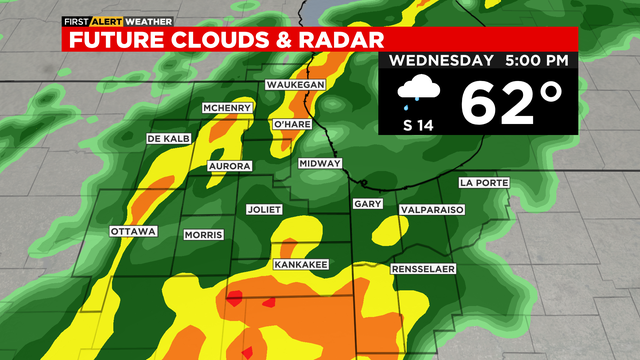
Soaking rain today could bring 1" to 2" of rainfall, with isolated higher amounts under any thunderstorms.
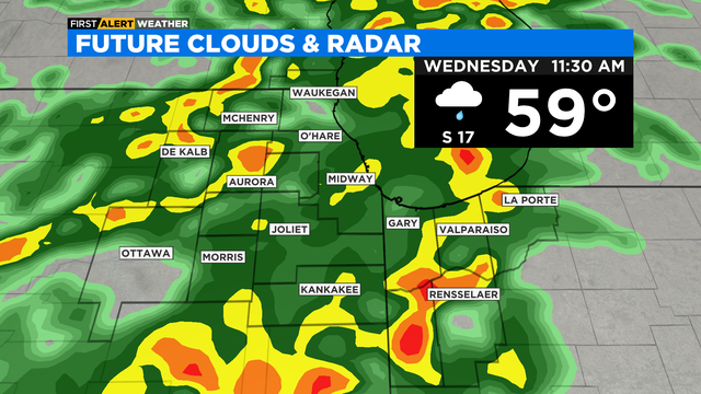
Rain totals of 1" to 2" are possible, with the best chance for thunderstorms tomorrow south of I-80.
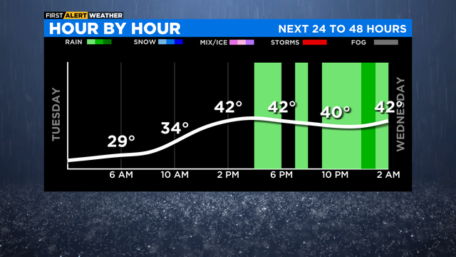
It will be turning cloudy as our next weather system takes shape.
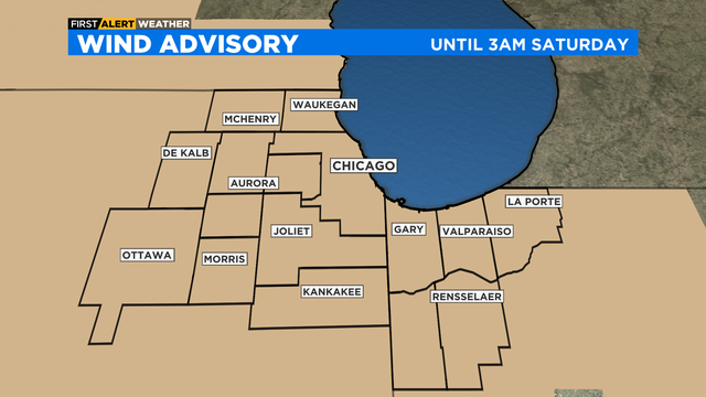
A Wind Advisory remains is in effect until 3 a.m. for overnight gusts of 40 to 50 mph.
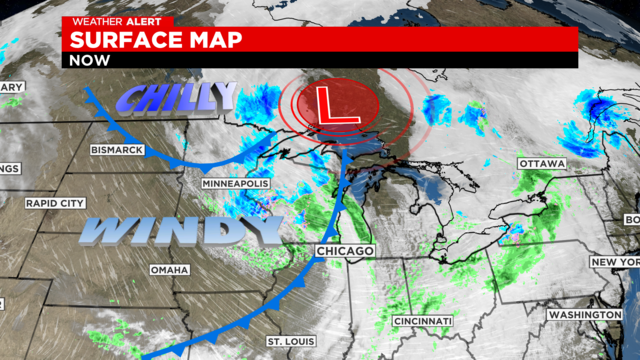
A severe thunderstorm warning has been issued for parts of of the area. A storm system could move bring wind gusts of 50 mph or even 70 mph.
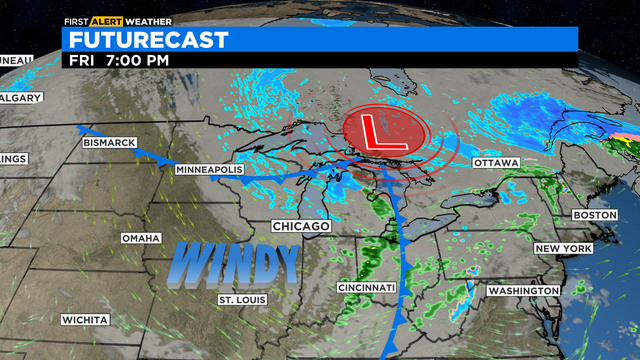
A vigorous disturbance with cold air aloft will increase winds throughout the day Friday.
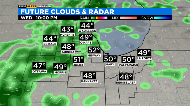
According to CBS 2 meteorologist Mary Kay Kleist, isolated thunder possible.
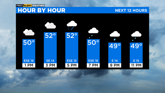
Another wave of rain is on the way for the Tuesday afternoon rush; followed by steady temperatures with showers through the night.