
Wet Tuesday across Minnesota, then a drier fall stretch
Rain spreads west to east throughout Tuesday in Minnesota with a widespread quarter inch to an inch possible. Highs will be in the upper 60s in the Twin Cities.
Watch CBS News

Rain spreads west to east throughout Tuesday in Minnesota with a widespread quarter inch to an inch possible. Highs will be in the upper 60s in the Twin Cities.
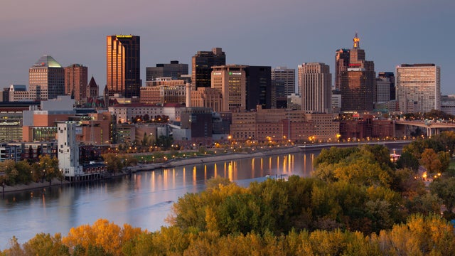
Another weak system is bringing more clouds and rain this weekend to the Twin Cities.

Saturday will be cloudy and breezy in the Twin Cities, with a high temperature in the low 60s. Rain is forecast to fall during the middle of the day.

Fall arrives Tuesday in the Twin Cities, with the autumnal equinox hitting at 7:05 p.m. Before that, expect more sunshine with highs in the mid-to-upper 60s.

Sunday's highs will rise into the upper 60s with decreasing clouds in the Twin Cities. There's a slight chance for early morning showers.

Sunshine returns to the Twin Cities Tuesday with breezy northwest winds early, then a quieter afternoon.

People in the Twin Cities will see sunny conditions on Tuesday and a high temperature of around 70 degrees.

Saturday is expected to be cooler and less humid than Friday in Minnesota, with lighter winds, sun and high temperatures in the mid-70s.

After a morning of showers and a few storms, Tuesday will be humid in the Twin Cities with highs in the low 80s, thought the heat index will reach into the mid 80s.

It's the first day of meteorological fall, but it certainly won't feel like that Tuesday in the Twin Cities.

Monday stays warm and humid, especially across eastern Minnesota and western Wisconsin, with a few spots feeling like the low 90s.

Outside of a stray storm Sunday morning, the heat and humidity are the main story to end the weekend.

It will be mostly cloudy Wednesday in the Twin Cities with breezy northwest winds gusting 20–25 mph.

Residents in northwest Minnesota will see storms on Monday night and the Twin Cities could see some on Tuesday morning.

Sunday will be a #Top10WxDay with sunshine and a high temperature of around 80 degrees.