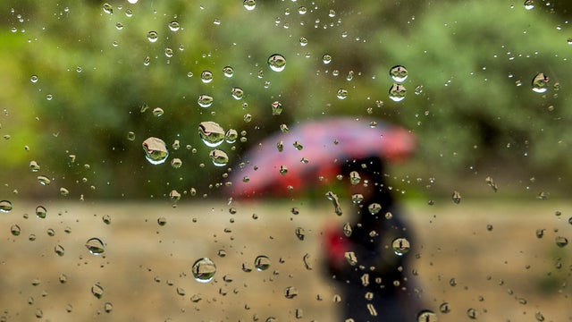
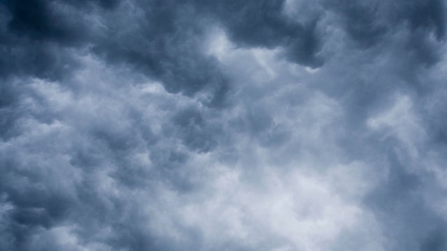
More storm chances Tuesday, Wednesday in the Twin Cities
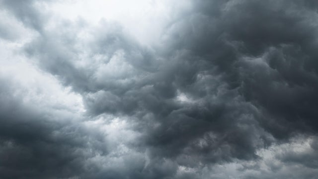
Showers and thunderstorms are likely Tuesday in the Twin Cities as a cold front moves through.
Watch CBS News

Showers and thunderstorms are likely Tuesday in the Twin Cities as a cold front moves through.

Monday is a #Top10WxDay in the Twin Cities, featuring a mix of sun and clouds and highs around 80 degrees.
Badly needed rain will return to the metro and southwestern Minnesota late Tuesday night, lingering into Wednesday.
A super El Niño could be in the forecast for the upcoming months. So what does that mean for Minnesota weather?
Tuesday will be hot and humid in the Twin Cities, with air quality concerns starting midday and storm chances arriving overnight.
Humid conditions in the Twin Cities on Monday night will be followed by an air quality alert, which will be in effect from 12 p.m. to 9 p.m. on Tuesday, according to the Minnesota Pollution Control Agency.
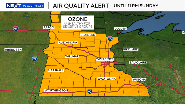
Sunday will be in the upper 80s with increasing humidity and an air quality alert in place.
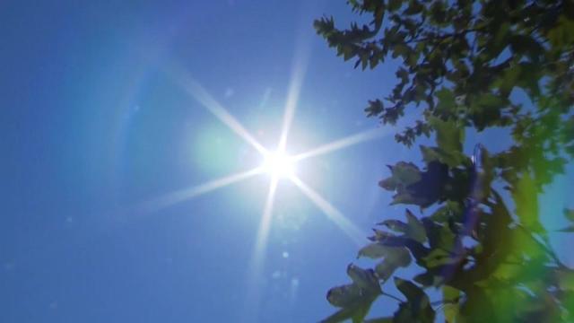
Conditions will be hot and dry on Saturday in the Twin Cities with high temperatures in the upper 80s.
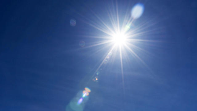
The Twin Cities will enjoy a lovely first day of meteorological summer.
Our summer-like temperatures will continue through the weekend.
An air quality alert will be in effect Friday in the Twin Cities for ozone pollution as summerlike warmth rolls on.
Summer heat will build quickly this week in Minnesota, with a few storm chances mixed in.
Storms fire up Sunday evening in southwestern Minnesota and will move east across the south.
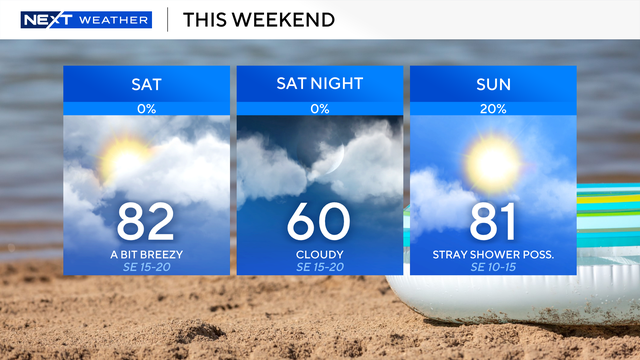
Saturday will start cloudy in the morning, but the sun should be out by Saturday afternoon. High temperatures will be in the 70s.
A few rain showers will move through western and central Minnesota Friday night into early Saturday.