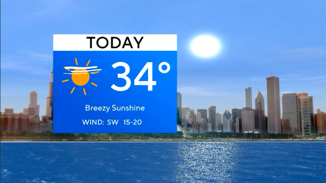
Partly cloudy with falling temperatures for Chicago area Tuesday
A dry cold front will march through the region on Tuesday, creating cooler air and changing the airflow near the lakefront.
Watch CBS News

A dry cold front will march through the region on Tuesday, creating cooler air and changing the airflow near the lakefront.
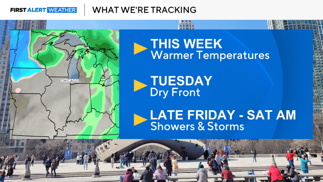
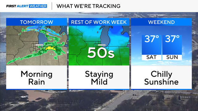
The week ahead looks great, but a front will bring rain by Friday night/Saturday.
The only downside is losing an hour of sleep as we "spring forward" at 2 a.m.

We will "spring forward," meaning our clocks will go forward one hour.

A Wind Advisory was in effect until midnight Wednesday night as winds have been gusting 40 to 50 mph.
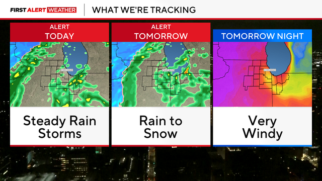
A large storm system will bring wind, rain, thunder, and snow to the Chicago area through Wednesday.
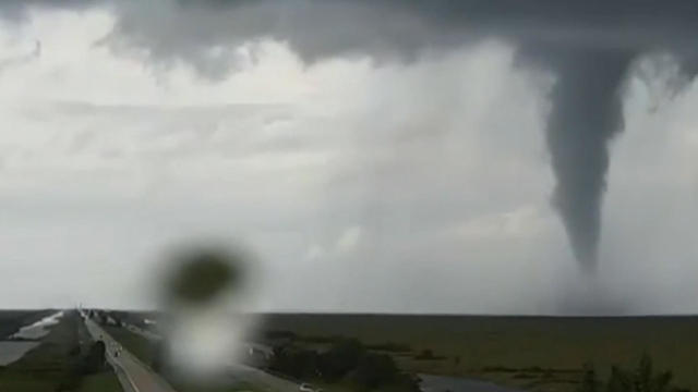
In the event of severe thunderstorms, tornadoes, and floods, we can't stop these natural disasters from happening, but we can be prepared when they happen.
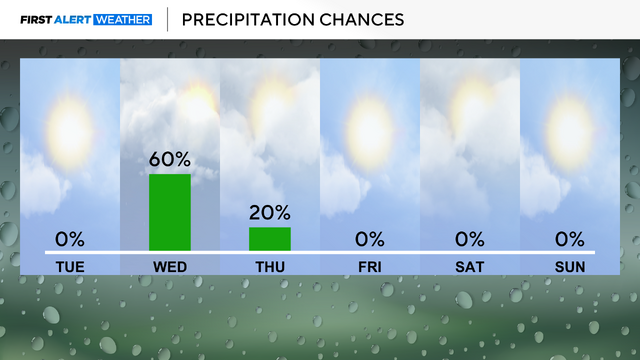
Rainfall totals could add up to more than 2 inches over the course of those 48 hours.
Rain will be mostly light, though some downpours and thunderstorms are possible, especially south of Chicago.
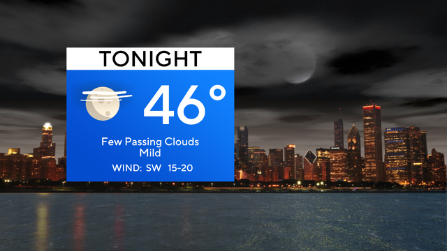
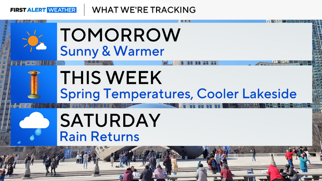
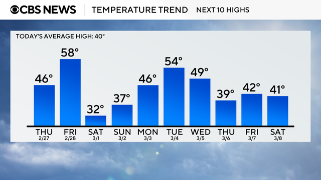
Temperatures remain very mild throughout the work-week with highs in the 50s and 40s.
Throughout the rest of the workweek, highs will be approaching the upper 40s and lower 50s.
With these mild temperatures, expect the snowpack to continue to melt away.
High temperatures will stay in the 40s for highs for much of the week, with some opportunities for rain shower activity.

Bitterly cold conditions are in place again Tuesday morning.
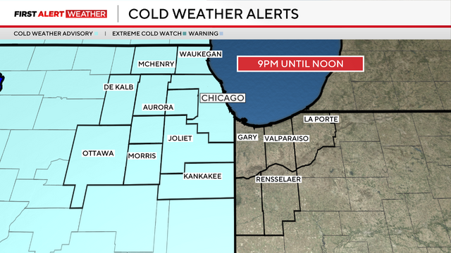
Actual air temperatures will fall below zero Monday night.