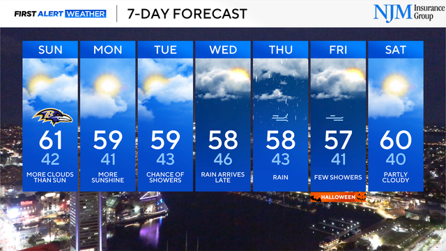
Clouds have returned, rain moves into Maryland next week
The First Alert Forecast remains mostly dry through the beginning of the workweek, ahead of wetter weather.
Watch CBS News

The First Alert Forecast remains mostly dry through the beginning of the workweek, ahead of wetter weather.
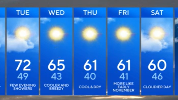
Winds remain gusty well ahead of wet weather, which is set to move through central Maryland Sunday evening.

Winds increase through the day Sunday, ahead of showers and a few storms Sunday evening.

Fall foliage is becoming widespread across central Maryland, according to the state Department of Natural Resources (DNR).
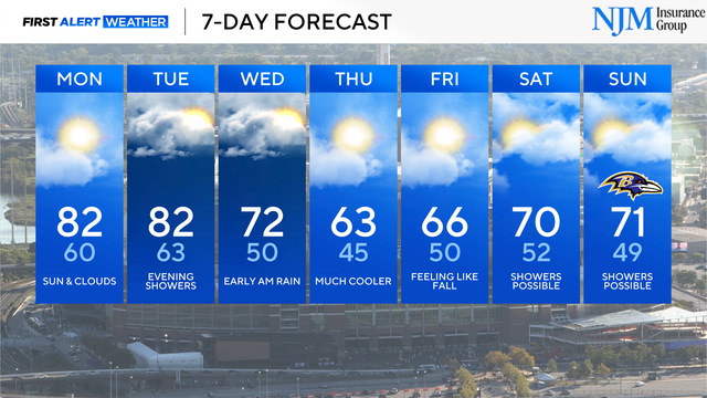
Maryland will see rainy, cool weather by the middle of the workweek.
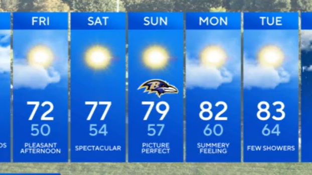
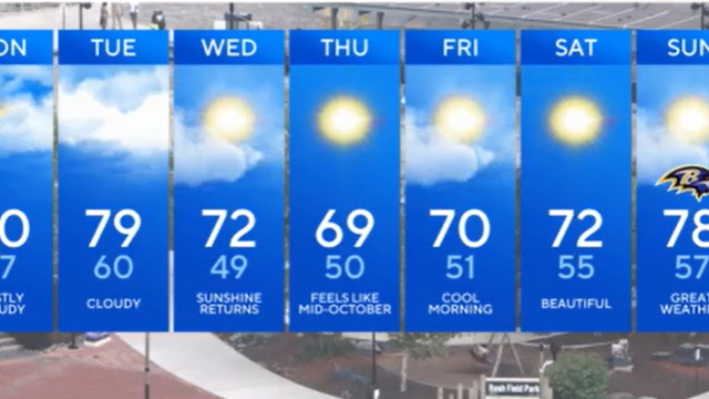
Plan on temperatures in the 40s and lower 50s out the door early Thursday morning.
Rain remains light, hit-or-miss, and mainly south of Baltimore Monday into Tuesday.

Saturday night rain gives way to direr, sunnier Sunday weather.

The first chance of widespread wet weather arrives Tuesday.
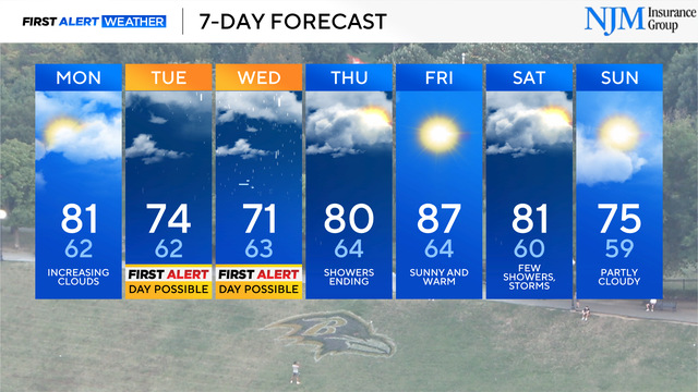
The chance of wet weather peaks on Wednesday across central Maryland.

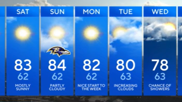
Plan on cool mornings, warm afternoons and lots of sunshine.
Mornings trend cooler heading into the weekend.

Chilly mornings and pleasant afternoons continue through the workweek.
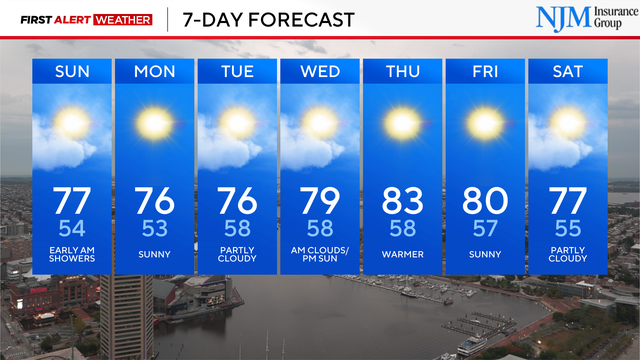
A cool rain moves back into central Maryland overnight.
Many communities will wake up to temperatures in the low to mid-50s early Tuesday.