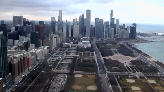
Enjoy the outdoors before rain arrives in Chicago
The next storm system arrives Wednesday night into Thursday morning.
Watch CBS News

The next storm system arrives Wednesday night into Thursday morning.
There's a slight chance for snow later in the week.
1886 was the last time it was this warm on this date in Chicago
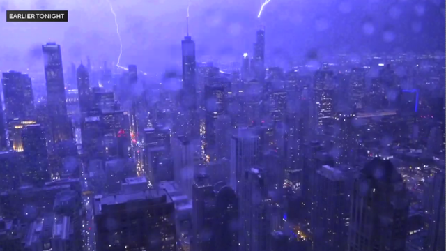
Damaging winds also blew late Thursday.
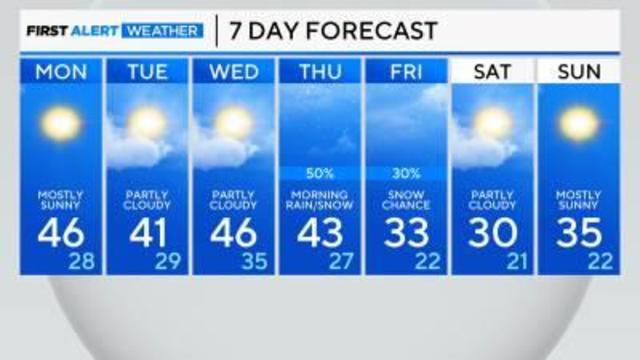
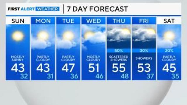
It'll be turning cooler this weekend with highs in the 40s Saturday and upper 30s Sunday to Tuesday.
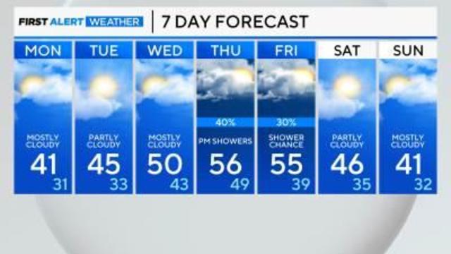
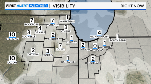
Expect patchy fog late Sunday into Monday.
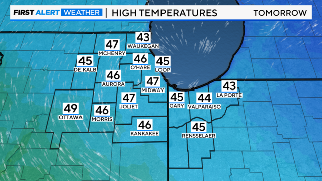
Highs by Thursday could be running 20 degrees above average.
Toward the middle of next week, clouds will increase as high-pressure slides to the east.
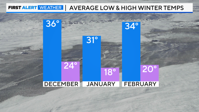
Below-average precipitation is expected this winter due to an El Niño weather pattern.
Temperatures hold steady in the mid-30s.
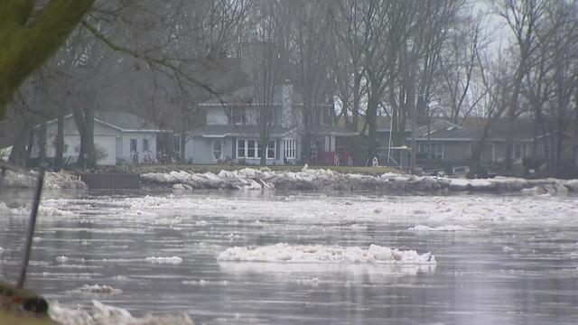
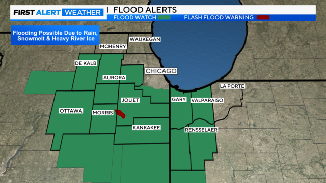
The National Weather Service is warning of potential flooding of roads and buildings along the Kankakee River between Wilmington and Phelan Acres.
Rain is likely Wednesday, with a slow decrease in coverage by the early afternoon.
Ice amounts will be up to a quarter of an inch of accumulation, but perhaps as high as 0.30" in the southern suburbs.
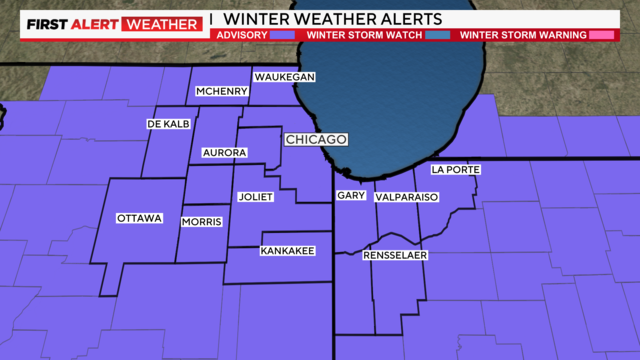
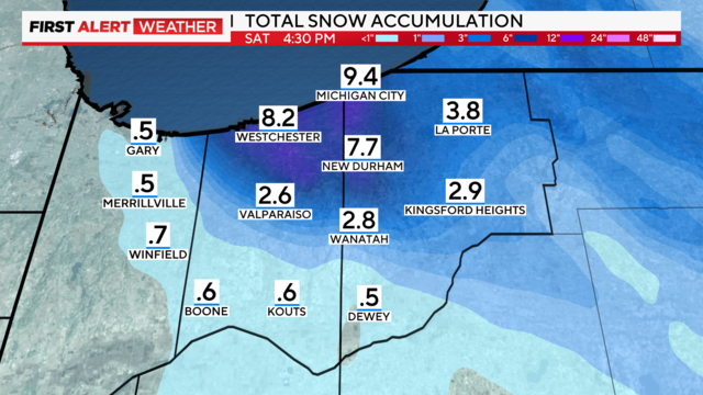
An additional 2 to 6 inches of snow will be possible through Saturday midday in Northwest Indiana.
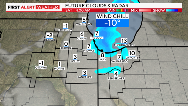
Near-blizzard conditions are possible along the Indiana Lakeshore, with gusts up to 40 mph.