Forecast: 70 Saturday; Rain Moves In Early Next Week
Crystal-clear skies meant a chilly start to the day Friday, but things warmed up quickly and will continue with spring-like weather again Saturday.
Watch CBS News
Crystal-clear skies meant a chilly start to the day Friday, but things warmed up quickly and will continue with spring-like weather again Saturday.

It was another chilly night for a good portion of the valley Saturday into Sunday as temperatures in Sacramento easily slipped into the low 30s.

Sunshine and mild temperatures were the weather story for just about everyone in Northern California Saturday.

The rainy season started out with a bang in Northern California, and CBS13's new Mobile Weather Lab is tracking the most accurate weather information on the roads.

It's another mild and sunny day for most of Northern California as a ridge of high pressure continues to dominate our weather.

Things are clearing up nicely in the Sacramento Valley Thursday morning.

Winds today in northern California are light and variable. There had been gusts as we had been on a ridge of high pressure, but we're now under the ridge and expect things to get milder.

Sunday was filled with sunshine for most parts of the valley, serving as a preview of the week ahead.

Most of the valley saw partly cloudy skies Saturday after a very foggy start to the weekend.

It hasn't rained in the Sacramento Valley since January 6, but we'll see some before the day is through.

While clear and dry conditions are making for sunny and mild days this weekend, overnight low temperatures continue to keep much of our area in the deep freeze.

We are locked into a weather pattern with cold air coming from Alaska. It's much colder in California than it usually is at this time of the year.

California citrus growers began to see some damage to the mandarin crop Monday while winds up to 50 mph add to the misery in cities, where residents have been bundled up against record cold for several days.

Cold nights and mild days have been normal over the weekend for Northern California.
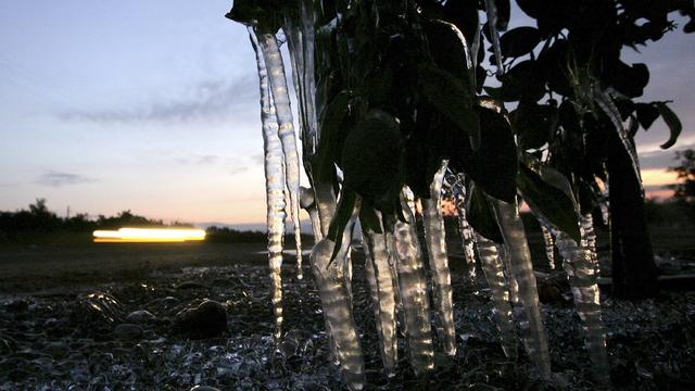
It's cold outside and there could be a record-breaking chill in the air overnight into Saturday morning. Near record to record lows are possible for Saturday throughout the region

The second winter storm moving through the Sacramento region made for many problems in the area.

Heavy rain, pounding waves and plenty of snow in the mountains are all in the forecast as Northern Californians brace for a weekend of wintry weather.

The rain didn't hit as soon as expected in the Sacramento region, waiting until Friday morning to start falling, but the forecast still calls for plenty of wet weather through the weekend.

Winter weather is bringing rain, snow and wind, which caused the rain to come down sideways in some parts of the area.
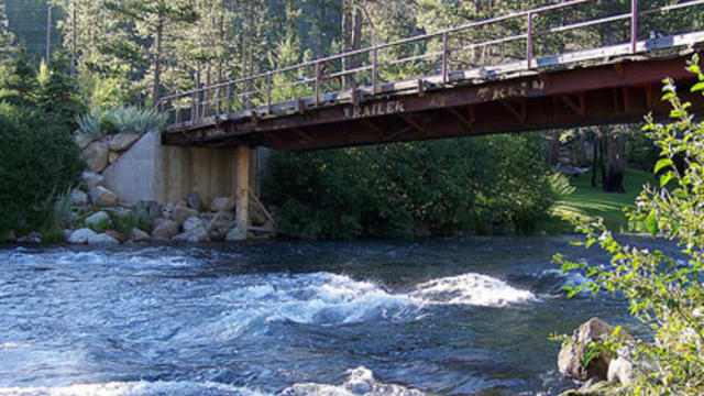
A major flood warning is in effect on Truckee River. It's forecast that the river will rise to 8.2. feet and cause damage to homes and bridges.

When storms hit, there is a chance your power could go out. Here are some tips to help you prepare for a possible power outage, staying safe during an outage and getting your power restored.

It's going to be a cool and wet fall weekend across Northern California. The rain started falling overnight into Friday morning and scattered showers with mainly light rainfall totals are expected throughout the day

Crews and equipment from Travis Air Force Base are heading east to help with relief efforts in areas devastated by Hurricane Sandy.

Hurricane Sandy is lashing the East Coast and she has much danger to offer. CBS13's Ian Schwartz looks at the science behind the storm.