First Alert Weather: I-80 reopens but more Sierra snow is expected
The Blizzard Warning was extended through midnight Sunday and a Winter Storm Warning continues through Wednesday morning as several feet of additional snow is expected.
Watch CBS News
The Blizzard Warning was extended through midnight Sunday and a Winter Storm Warning continues through Wednesday morning as several feet of additional snow is expected.
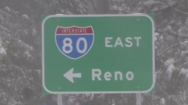
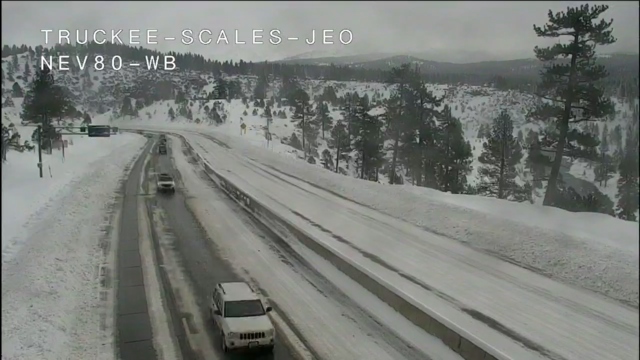
Interstate 80, through the Sierra Mountains, remained shut down for the third consecutive day Sunday, as the winter storm blankets the region with heavy snowfall.
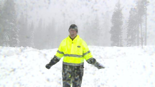
The Sierra high country could see up to 12 feet of snow in total after this weekend's storm. Submit your photos here: https://www.cbsnews.com/sacramento/send-photos-video-news-tips/
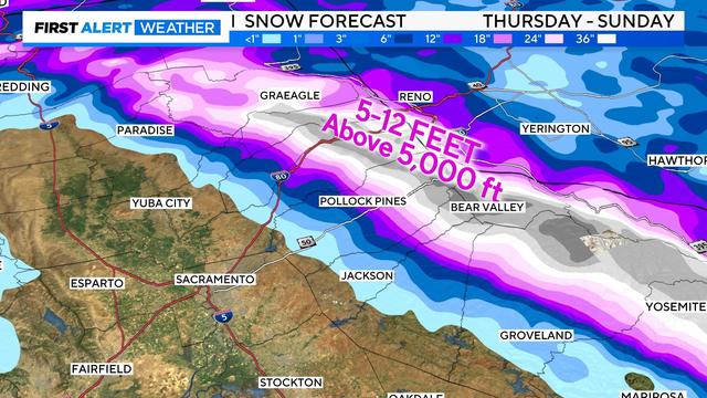
A severe winter storm has begun bringing copious amounts of snow to California's Sierra Nevada this week. Extremely dangerous mountain travel is expected, with long stretches of roadway becoming impassible with blizzard conditions.

With voting underway for the primary election, county election offices in the Northern California Sierra Nevada and Foothills are taking emergency precautions leading up to the forecast blizzard conditions.
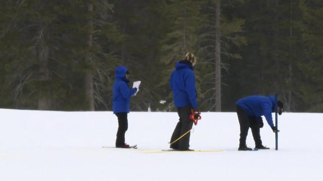
A water resources engineer said Northern California's snowpack is nearly 80% of average to date and 74% of where we need to be by April 1, typically when we peak.
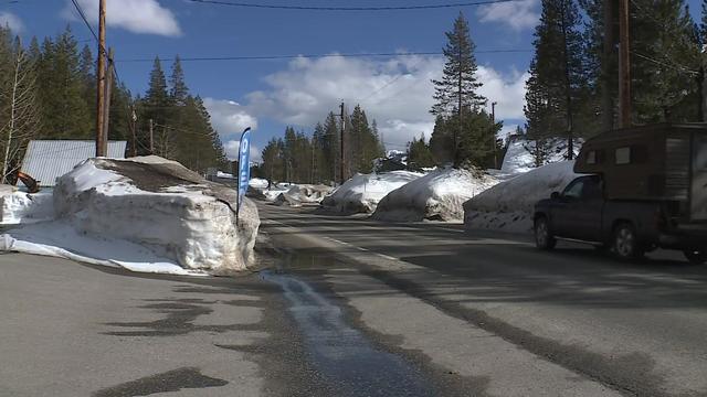
Extreme winter weather conditions are coming in the Sierra this week, and those who live in the mountains are hunkering down before a big dump of snow.
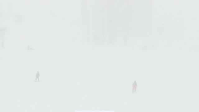
Experts are stressing deep snow safety and precaution ahead of an intense winter storm that could be one of the strongest and coldest of the season in the Sierra.
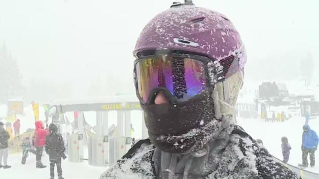
It's still the holiday weekend and with another atmospheric river in Northern California, the Sierra got some more snow.
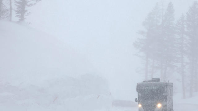
Heavy snowfall was hitting the Sierra Nevada and the Lake Tahoe area Monday, the latest in a series of winter storms moving through the region.
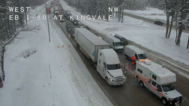
Snowfall and slick roads were impacting drivers across the Sierra on Wednesday. Here is where chain controls are in effect.
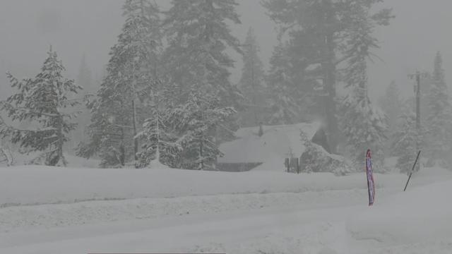
Snow continued to fall in the Sierra throughout Monday, adding to the 21 inches of snow already reported in Soda Springs by the UC Berkeley Central Sierra Snow Lab during the morning.
Track the powerful storm as it moves into the Sacramento region.
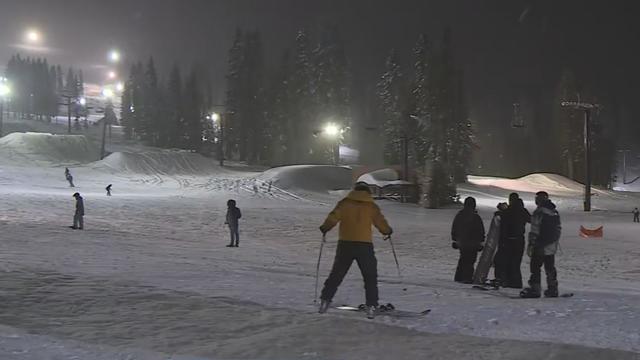
Monday night was quiet across the Sierra and Sacramento Valley after snow and rain slammed each Monday morning and overnight Sunday, a quick storm that was mostly over by late afternoon.
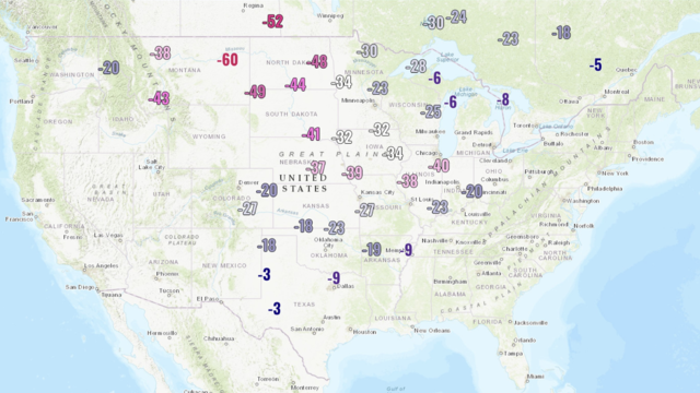
More than 95 million people across 25 states were under wind chill warnings, advisories or watches on Sunday as an Arctic cold front hovered over much of the country.
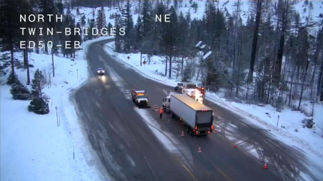
Snow activity increases through the day Wednesday with another round of heavy snow and gusty wind on the way. Wednesday will be a First Alert Action Day for the foothills and Sierra as travel will be difficult to impossible.
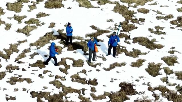
There hasn't been as much snow in the Sierra to date compared to last year. However, a second Sierra storm within a week is being welcomed by scientists at the UC Berkeley Central Sierra Snow Lab.
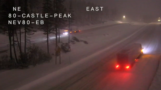
Chain controls were back in effect Tuesday night for the high Sierra Nevada ahead of another expected weather system Wednesday.
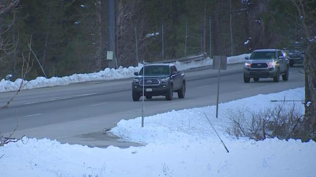
Caltrans crews are working nonstop to prepare for Saturday's snowstorm, marking the Sierra Nevada's second significant snowfall event this year.
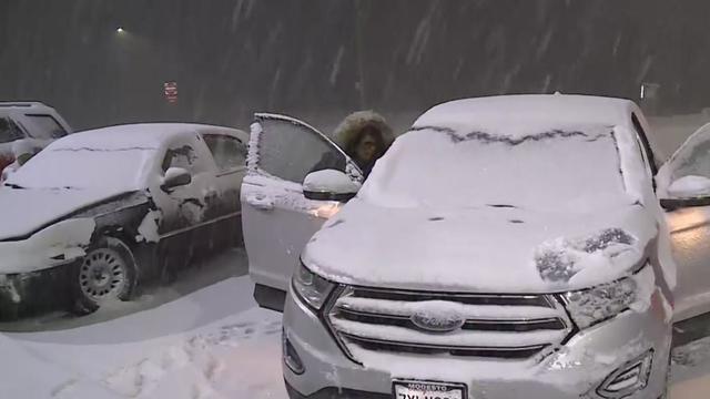
Snow and wind hit the Sierra like a one-two punch. The winter storm made the drive over the summit slow, and in some cases scary.
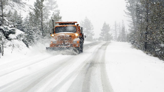
It's the time of year when the Sierra Nevada city of South Lake Tahoe transforms into a winter wonderland.
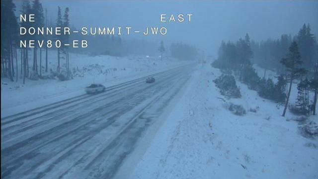
With more snow falling in the region, chain controls were put in place again Thursday for travelers on several Sierra highways.
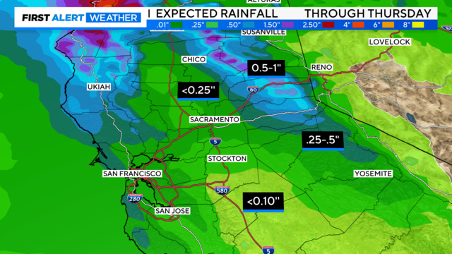
Rain and snow have developed across the region Wednesday, creating slick roads for drivers from the valley to the passes. Here's what we're watching for the next few days.
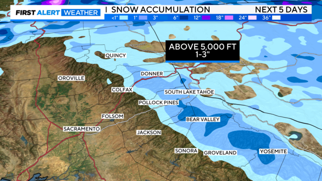
An unsettled weather pattern begins Thursday, but will it continue into the weekend?
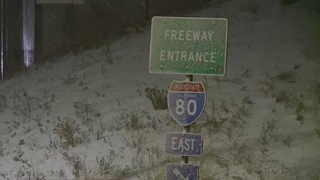
A quick blast of winter weather took over the Sierra high country along Interstate 80 Monday evening. It was the first snowfall of the season to make an impact outside of the mountain passes.