Vehicle ban on Upper Red Lake to be lifted Wednesday
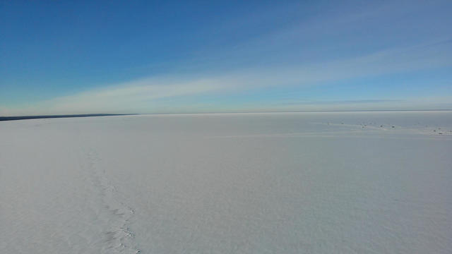
Authorities in Beltrami County said a vehicle ban on Upper Red Lake will be lifted Wednesday now that ice conditions have improved.
Watch CBS News
Authorities in Beltrami County said a vehicle ban on Upper Red Lake will be lifted Wednesday now that ice conditions have improved.
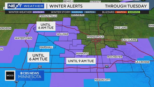
It's going to be an active weather week in Minnesota, starting with a system moving through Monday that should bring multiple inches of snow to parts of the state.
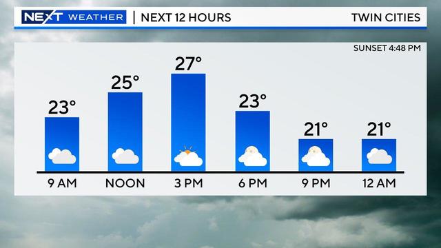
Expect a quiet day Sunday, with plenty of clouds and seasonably cool temperatures, but there are more snow chances on the way.
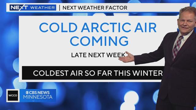
A band of snow will fall mostly in northern Minnesota, and it'll stay mild over the weekend.
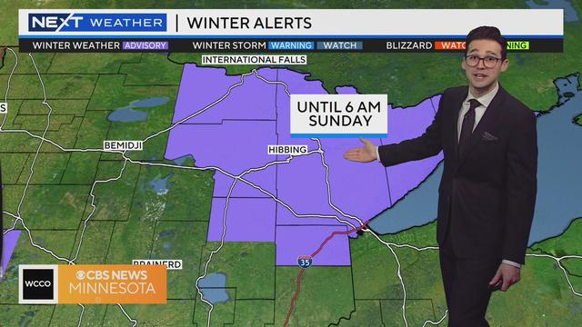
Meteorologist Joseph Dames hs the latest forecast Friday morning.
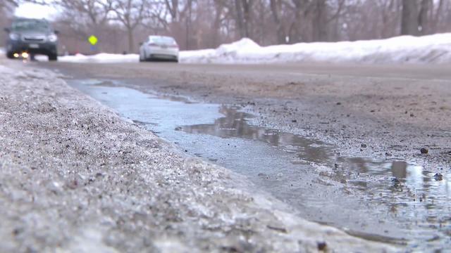
The year started off buried in snow, but ended with some of the warmest temperatures on record.
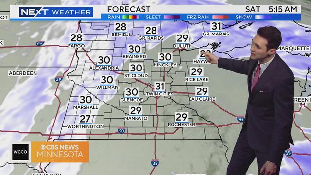
Meteorologist Joseph Dames has the latest forecast.
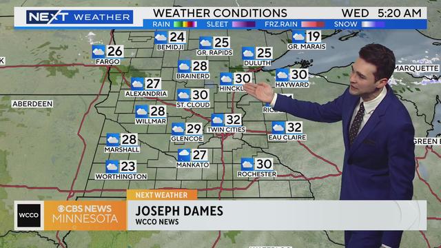
Meteorologist Joseph Dames has the latest Wednesday morning.
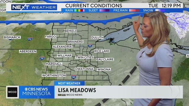
Meteorologist Lisa Meadows has the latest Tuesday at noon.
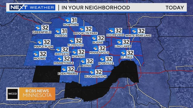
The new year will start off cloudy before the sun breaks through in the afternoon, with temperatures expected to top out above and around freezing.
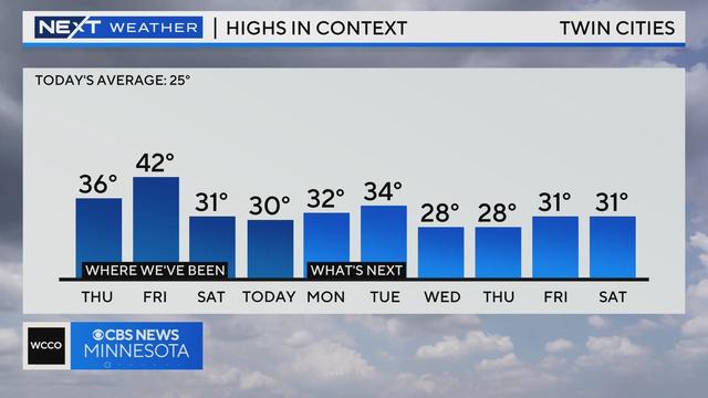
Minnesota will ring in the new year with fresh snow on the ground, and temps that will stay low enough to keep it in place.
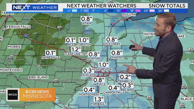
Meteorologist Adam Del Rosso has the latest forecast.
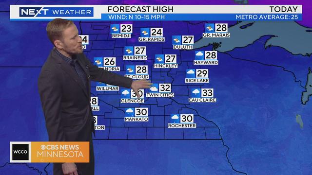
Meteorologist Adam Del Rosso has the latest forecast.
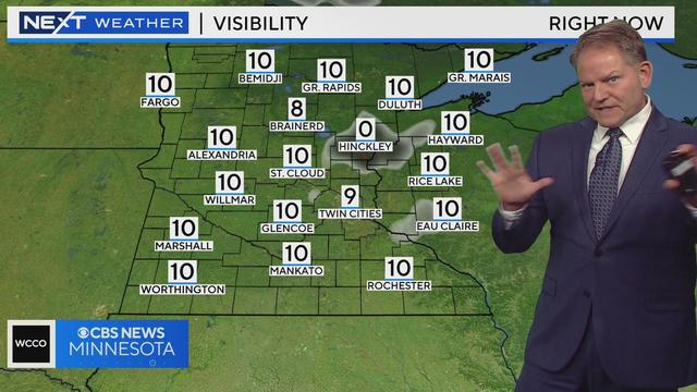
Pleasant Friday evening with temps in the mid 30s overnight with flurries possible Saturday.
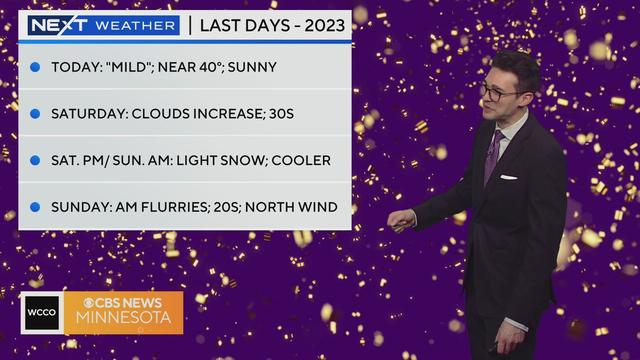
Meteorologist Joseph Dames has the latest forecast.
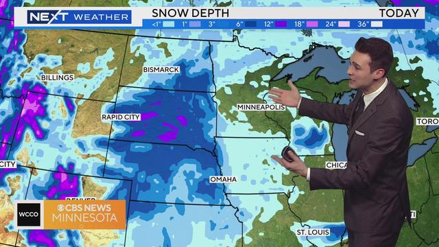
Meteorologist Joseph Dames has the latest forecast.

Snowmobile sales are down this December, a complete 180 degrees from this time last year.
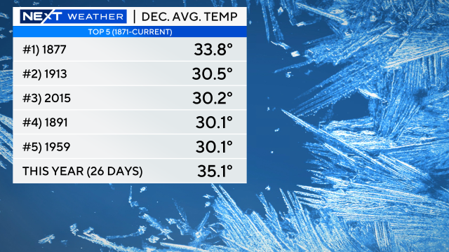
Temperatures are cooling down, but they'll remain above average for a while. In fact, December may break a record for warmth.
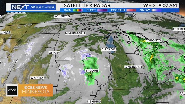
Meteorologist Joseph Dames has the latest.
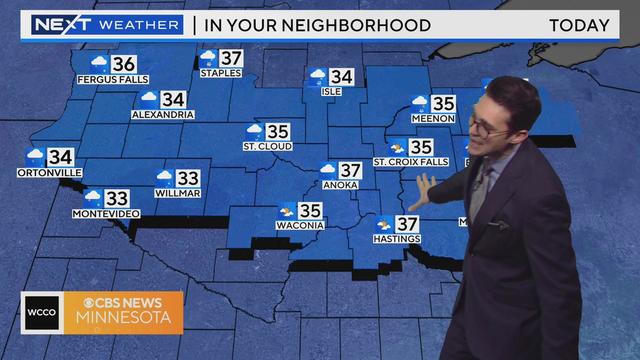
Meteorologist Joseph Dames has the latest forecast.
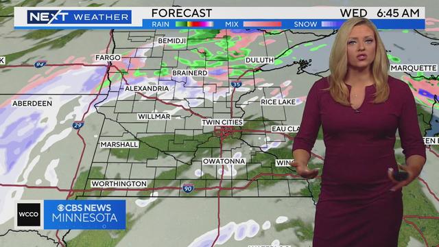
After multiple warm air records were broken over Christmas Eve and Christmas Day, cooler air moved through the state Tuesday.
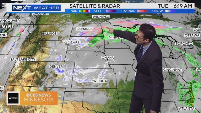
Meteorologist Joseph Dames has the latest forecast.

The low temperature on Christmas Eve, which took place at midnight, tied the highest temperature ever recorded on that day in the Twin Cities.
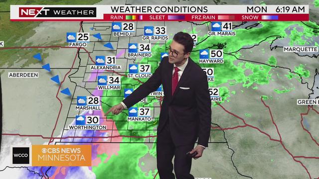
Rain for much of Minnesota, but areas to the west may see travel impacts due to wintry conditions.
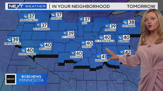
Wednesday will be our best chance of sunshine for the next several days.