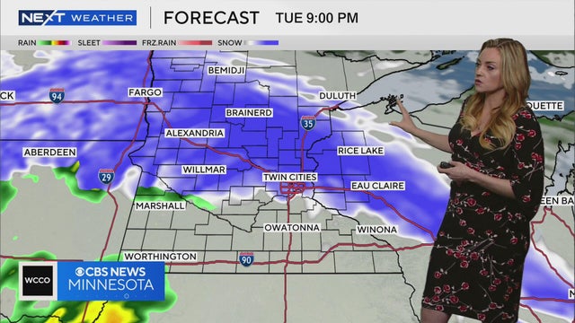
NEXT Weather: Noon forecast from March 28, 2025
Meteorologist Lisa Meadows says a system of snow is expected to move through the Twin Cities on Tuesday.
Watch CBS News
Meteorologist Lisa Meadows says a system of snow is expected to move through the Twin Cities on Tuesday.
Any leftover snow from the weekend system should melt on Monday, but more is in store for parts of central and northern Minnesota.
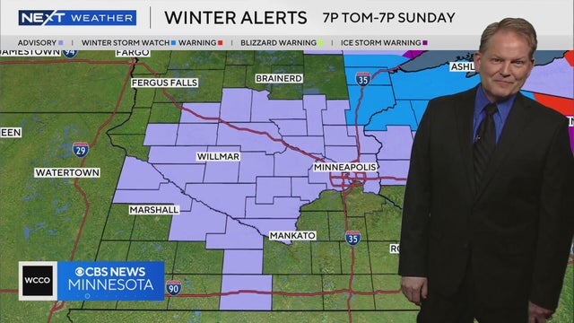
Meteorologist Chris Shaffer says freezing rain and snow are expected on Saturday night and into early Sunday.
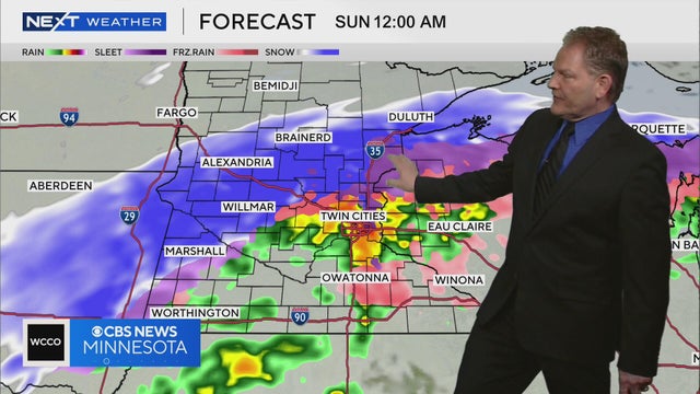
Meteorologist Chris Shaffer says windy and cold conditions are expected to persist this weekend as a forecast storm system with a mix of rain and snow moves through.
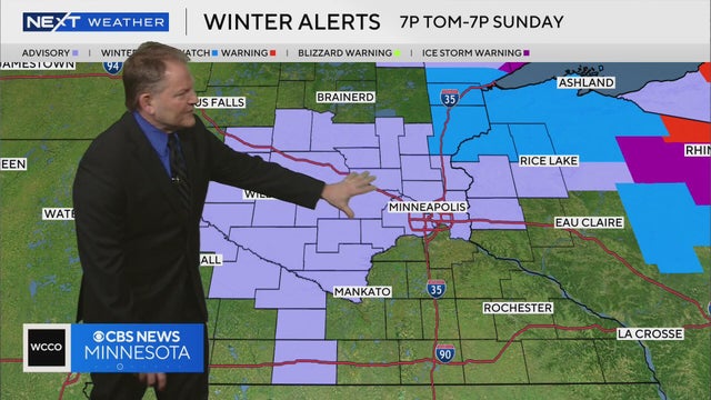
Meteorologist Chris Shaffer says a weekend storm system is likely to bring freezing rain and snow across parts of Minnesota.
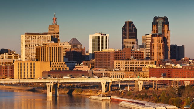
Parts of Minnesota may see record warmth on Friday ahead of a cool, wet weekend.
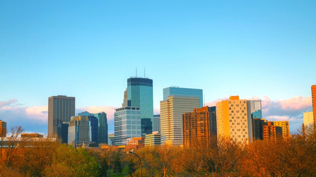
Mostly sunny skies and springlike highs will make Thursday a #Top10WxDay in Minnesota.

Temperatures in the Twin Cities will again top out in the 50s on Wednesday, and the rest of the work week should be even warmer.
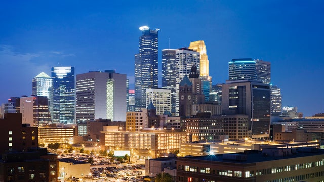
A warming trend begins Wednesday that will bring temperatures into the 60s by Thursday, and the 70s by Friday in parts of Minnesota.
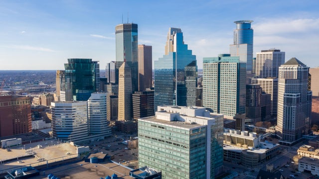
After a chilly weekend, it will feel more like spring in Minnesota this week.
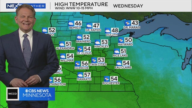
Meteorologist Chris Shaffer says temperatures will be in the 50s on Wednesday and Thursday before a chance of rain on Friday.
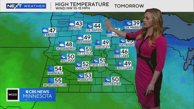
WCCO meteorologist Lisa Meadows says high temperatures are expected to be in the low 50s in the Twin Cities on Tuesday.
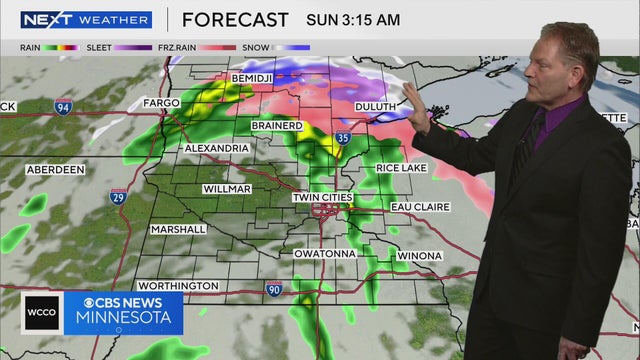
Meteorologist Chris Shaffer says a sloppy storm system is likely to bring rain and snow to Minnesota late Saturday and into Sunday, with the Arrowhead region having the best chance of accumulation.
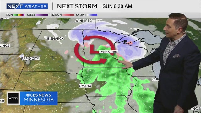
Meteorologist Mike Augustyniak says a system of rain and snow will likely move through Minnesota late on Saturday and into early Sunday.
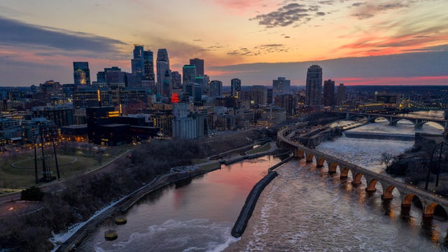
The trajectory of a spring snowstorm headed for Minnesota shifted overnight, leaving the Twin Cities free and clear. Southern Minnesota, however, could still see blizzard conditions.

This year, Minnesota Sea Grant has added a feature to its Minnesota Lakes Ice-Out Clock allowing users to look up a forecast for specific lakes.
Meteorologist Adam Del Rosso has more on why the Twin Cities area dodged the incoming snowstorm.
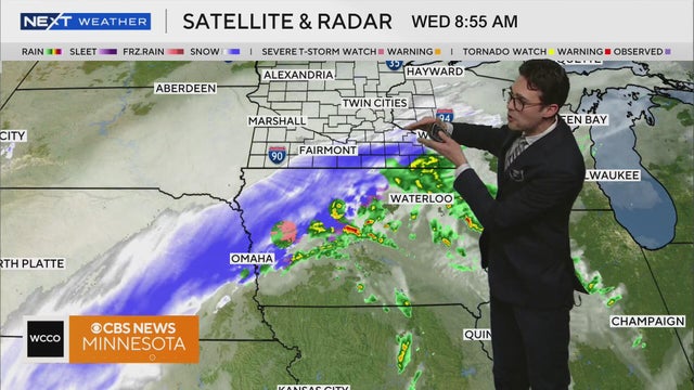
Meteorologist Joseph Dames has the latest forecast Wednesday morning.

The trajectory of a spring snowstorm headed for Minnesota shifted overnight, leaving the Twin Cities free and clear. Southern Minnesota, however, could still see blizzard conditions.
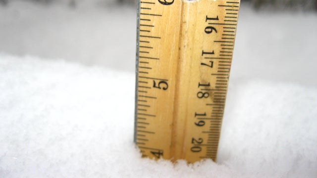
The next spring snowstorm is heading to Minnesota on Wednesday. Here's the latest look at potential snowfall totals.
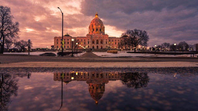
Weather conditions will shift in the Twin Cities on Tuesday as a cold front moves in and the next storm system approaches.
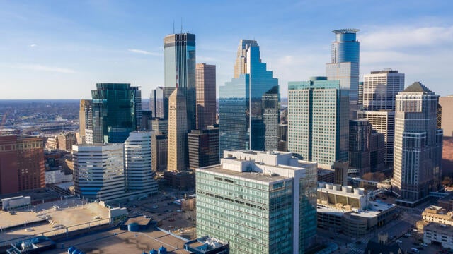
The Twin Cities will have a tranquil and warm start to the week, but a disruptive storm will arrive Tuesday night.
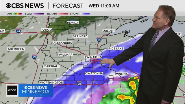
Meteorologist Chris Shaffer says the Twin Cities metro may see anywhere from 1 to 4 inches of snow on Wednesday.
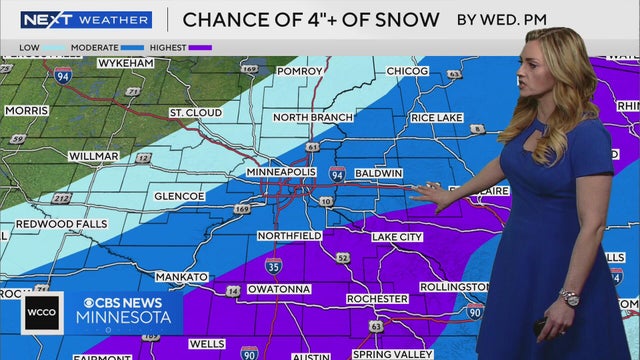
Meteorologist Lisa Meadows says some areas of southern Minnesota could see four inches or more of snow by Wednesday afternoon.
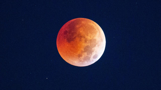
Despite a forecast that includes cloudy skies in Minnesota, you still may be able to see the total lunar eclipse in the overnight hours.