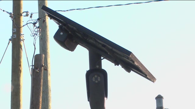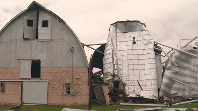
Tornadoes confirmed in Michigan following Tuesday night's storms, NWS says
Nine tornadoes have been confirmed so far from the Tuesday night / early Wednesday severe weather outbreak in Michigan.
Watch CBS News
Nine tornadoes have been confirmed so far from the Tuesday night / early Wednesday severe weather outbreak in Michigan.
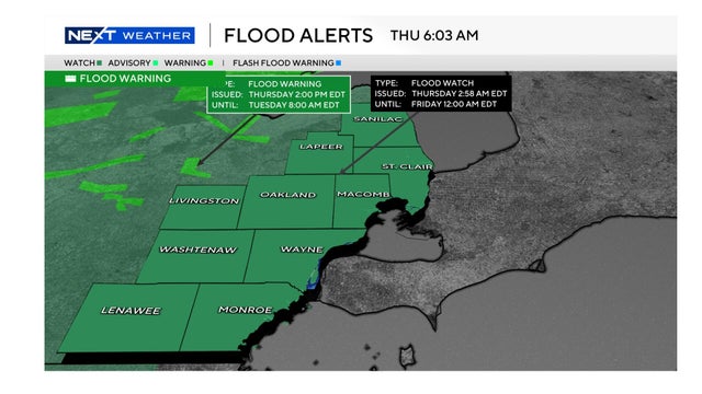
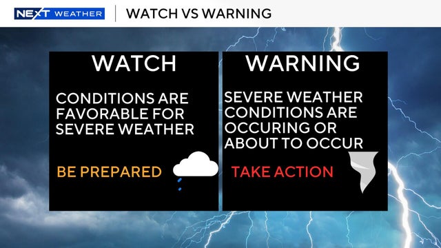
Following a tumultuous week of heavy rain and overnight severe weather, a flood watch remains in effect for all of Metro Detroit through late Thursday.

A few preparation steps can prevent or alleviate damage to homes should there be high water or flooding. Here's an introduction, from a plumber's perspective.

This is the second state of emergency that Whitmer has declared in the last week.
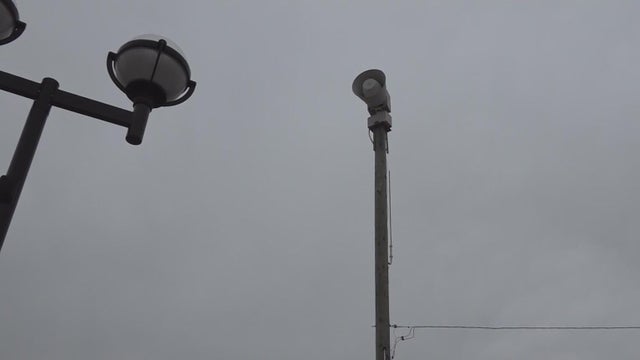
The city of Ann Arbor is walking back its plan to eliminate its outdoor emergency sirens after severe storms hit Southeast Michigan overnight Tuesday, causing widespread damage.
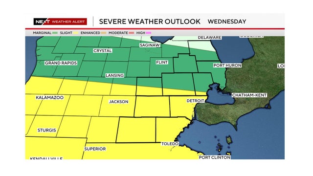
Metro Detroit's forecast includes damaging wind gusts, heavy rain and a chance of a tornado on Wednesday.

Tornado sirens, cell phone alerts, high winds and pounding rain woke up Michigan residents during the night Tuesday.
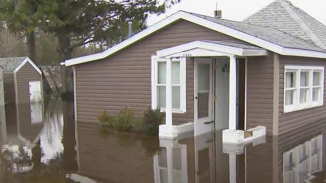
Terrance Friday from CBS News Detroit has been talking to residents of Cheboygan County, Michigan, as flooding worsens in that part of the state. "I didn't think it would get this bad," one resident said as she tried to salvage items from her home.

The storms were part of a massive system that has already resulted in suspected tornadoes along with flooding in the Midwest and Great Lakes region, and will continue for at least another day.
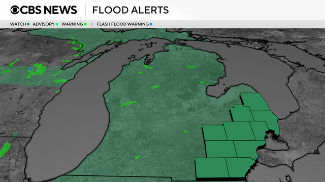
A flood watch has been issued for all of Southeast Michigan, to be in effect from 8 p.m. Tuesday through late Thursday night.

Stormy weather during late Tuesday and early Wednesday resulted in damage to the roof and siding at the University of Michigan's Yost Ice Arena.

Heavy rain and storm damage resulted in multiple road and highway closures in Metro Detroit early Wednesday, including a section of I-75. Here's a look at the 6 a.m. conditions.
The National Weather Service Storm Prediction Center placed all of Southeast Michigan into the "enhanced risk" (level 3/5) for severe weather on Tuesday.
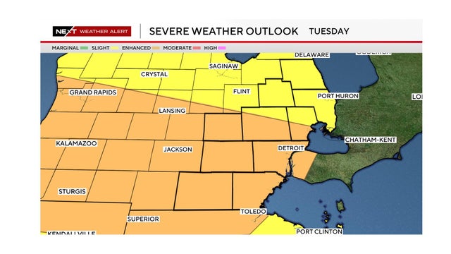
A severe weather threat with high winds, hail and the possibility of tornadoes exists for Tuesday in Southeast Michigan.
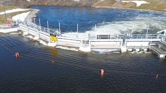
Conditions near the Cheboygan Lock and Dam continue to worsen, with the river levels just 7.68 inches below the top of the dam as of 7 a.m. Tuesday, State of Michigan officials said.
The National Weather Service has placed Southeast Michigan including Metro Detroit in the area of "enhanced risk" (3 out of 5) for severe weather for Tuesday. Here's what to look for and when.
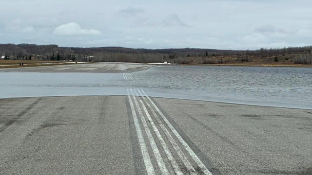
A small public airport in Northern Michigan has canceled airline flights since Saturday because of high water along its runways.
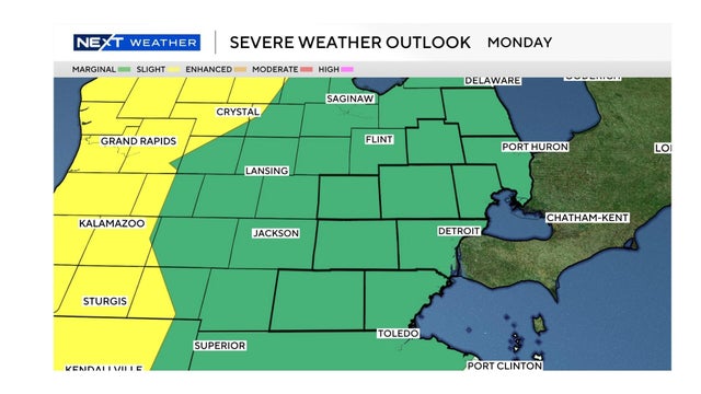
The weather conditions on Monday for Southeast Michigan could include damaging wind gusts and hail. The severe weather risk is higher on Tuesday.
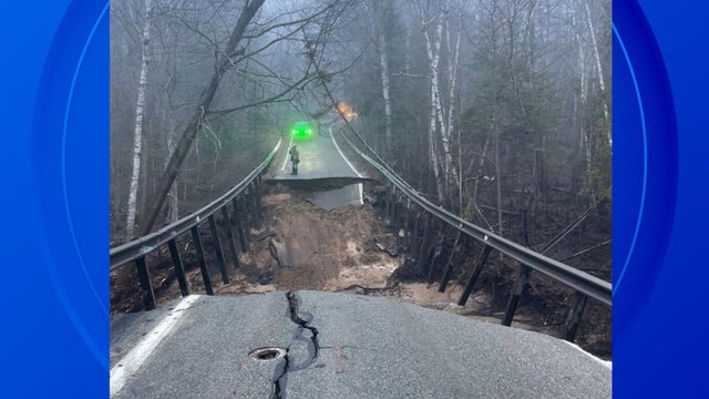
Part of a state highway in Northern Lower Michigan has washed out and is closed until further notice, the Emmet County Sheriff's Office said.

A marginal risk of severe weather exists Monday night with potential for large hail and gusty winds. Tuesday is a NEXT Weather Alert Day as the latest Storm Prediction Center Day 3 outlook shows a slight risk (2/5) for severe weather for all of lower Michigan.
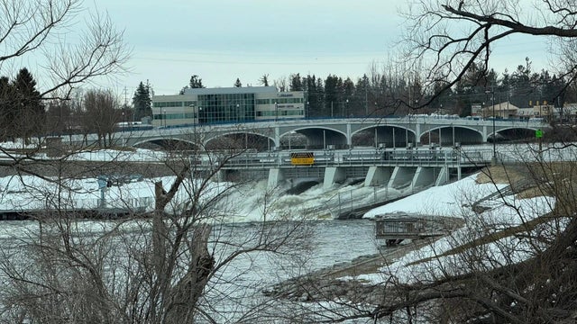
State and local officials are monitoring rising water levels at the Cheboygan Lock and Dam Complex in Michigan's Northern Lower Peninsula.

An EF-1 tornado with an estimated peak wind of 100 mph ripped through part of Wayne County on Saturday evening as severe storms rolled through Southeast Michigan, according to the National Weather Service.

People in Monroe County, Michigan, were cleaning up broken trees and damaged property Saturday evening after severe storms rolled through the area. Julia Avant speaks with homeowners about what's next for them.
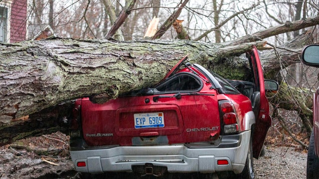
Gov. Gretchen Whitmer requested a major disaster declaration from President Donald Trump after tornadoes in Branch, Cass and St. Joseph counties killed four people and destroyed homes and businesses.
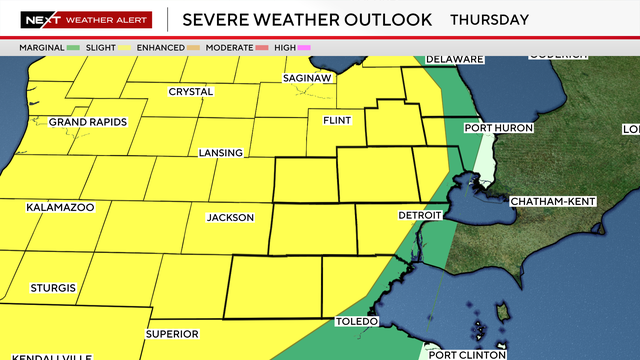
The greatest chance for storm development for Southeast Michigan will be in the evening into the late evening, when warmer air and an approaching system help fuel thunderstorm growth.