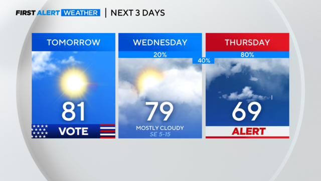
Warm weather continues for North Texas ahead of rain, possible storms later in the week
North Texas can expect mainly dry conditions tonight with a low chance for an isolated storm. Clouds return Wednesday with strong storms possible on Thursday.
Watch CBS News
North Texas can expect mainly dry conditions tonight with a low chance for an isolated storm. Clouds return Wednesday with strong storms possible on Thursday.
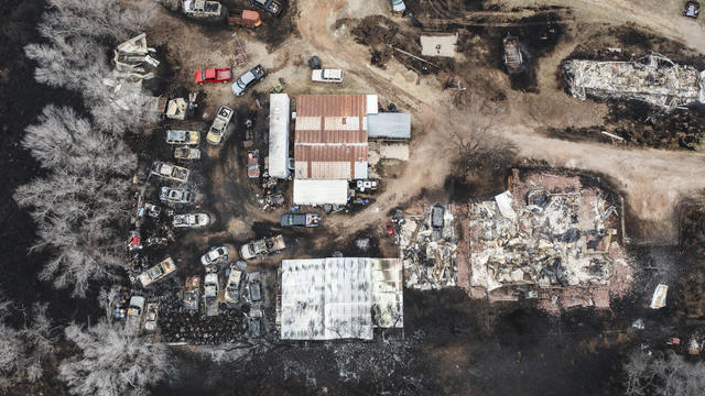
The state is battling its "largest and most destructive fire in Texas history," and the blaze is only 15% contained, officials said.
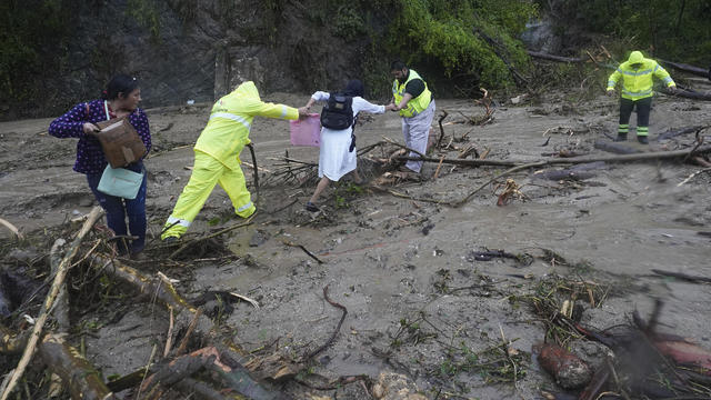
In just a matter of hours, Otis strengthened into a major hurricane, threatening "catastrophic damage" along Mexico's Pacific coast before weakening.

Large trees fell on top of homes and garages, blocked roads and left a wide field of debris for people to cleanup in neighborhoods on the west side of Fort Worth Thursday.

FC Dallas fans filled the stadium to watch the team's matchup with the Colorado Rapids, which was later postponed due to inclement weather.

It's going to be a warm start to fall. We will hit near-record highs before storms roll in on Sunday.

"Climate breakdown has begun," U.N. chief says, adding: "The dog days of summer are not just barking, they are biting."
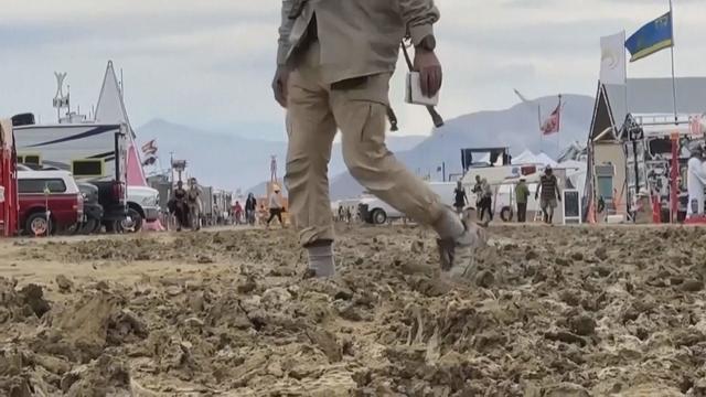
The first two days were as advertised he said, describing it as "Mardi Gras meets Mad Max."
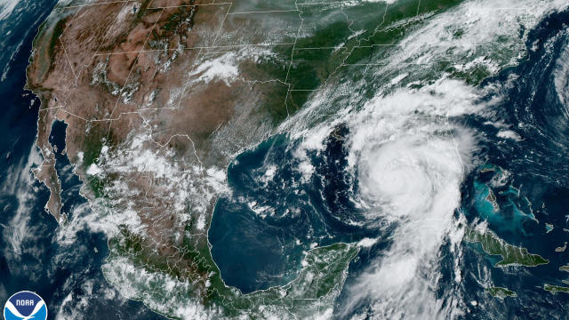
Gov. Greg Abbott has directed the Texas Division of Emergency Management to deploy Texas A&M Task Force One to Florida.

Though storms could bring some much needed rain to North Texas, they could also produce some cloud-to-ground lightning.
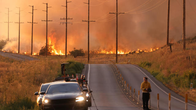
"Climate change is here. It is terrifying. And it is just the beginning," U.N. Secretary-General Antonio Guterres said.
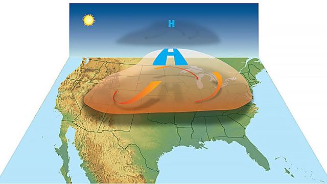
Heat domes normally persist for several days in any one location, but they can last longer.

Matador Mayor Pat Smith told CBS News crews were digging people out of rubble and carrying bodies away. Officials say four people were killed.

After storms ripped through Texas last week, many in eastern counties are still without power.

The affected areas extend east to Louisiana, and as far west as Grand Saline, Texas—impacting nursing homes and medical facilities.

The threat for severe storms continues for parts of North Texas until 2 a.m. Sunday. Otherwise, we'll finally get a break from severe weather tomorrow!

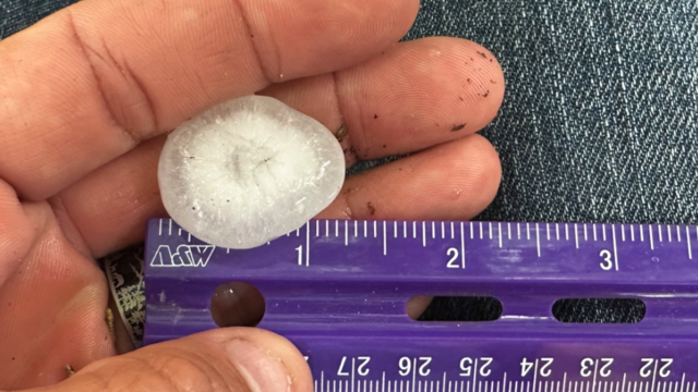
From Saturday, June 10 through Thursday, June 15, there were 249 hail reports from the National Weather Service in Fort Worth.

Severe storms Thursday night left many people without power.

The Texas Baptist Men sent half a dozen volunteers to Perryton to assess the damage and assist those who are desperately in need of help.

On Friday, we'll see mostly sunny skies and hot conditions. Highs will be in the mid-to-upper 90s but it will feel like the triple digits.

Hail storms Monday night caused damage for many homes across North Texas.
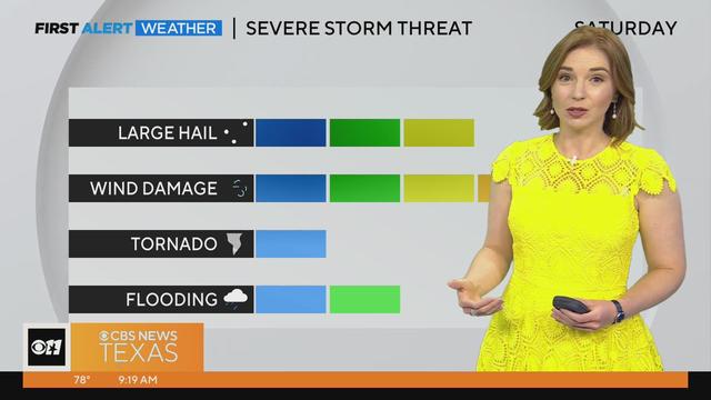
Large to very large hail, wind gusts of 65-plus mph, localized flooding/flash flooding and an isolated tornado are all possible.
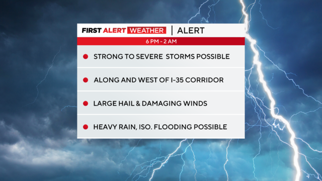
This evening, North Texas is under a weather alert for the threat of large hail and damaging winds. The tornado threat is small, but not zero.
Storms are starting to form west of the DFW Metroplex, and some are turning severe.
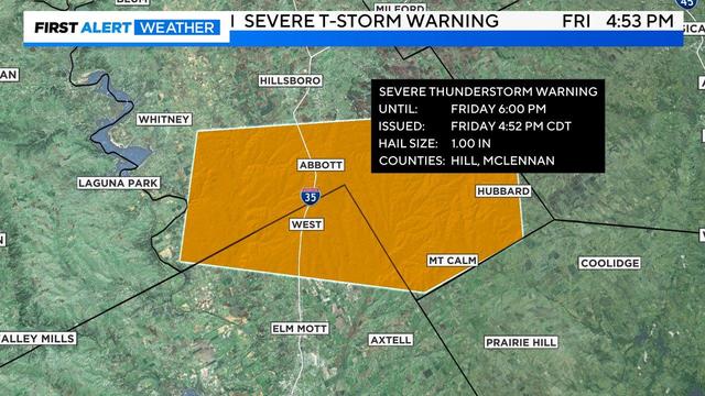
Parts of North Texas are a under severe weather threat this afternoon, and heading into the evening.