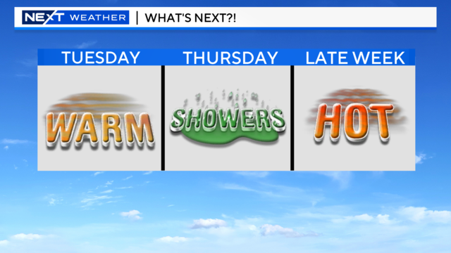
Warmer temperatures expected across Southeast Michigan on Tuesday
High pressure takes hold on Tuesday as temperatures warm up and more sunshine moves in.
Watch CBS News

High pressure takes hold on Tuesday as temperatures warm up and more sunshine moves in.

Overall it will be a pleasant weekend, but there is a chance of showers that could dampen your Saturday night plans.
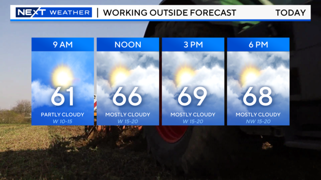
The work week may have started hot, but it's ending on a cooler note.

Severe weather moved through Southeast Michigan Wednesday afternoon and evening, sparking severe thunderstorm warnings.
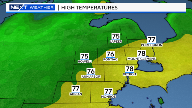
After Wednesday's cold front passed through, Thursday will feel more comfortable with mild temperatures and less humidity.
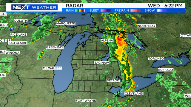
Showers and storms move into Michigan on Wednesday ahead of a cold front.

Hot temperatures will continue into Tuesday as temperatures soar into the 80s.

If you love mushrooms but hate the high price some of those gourmet mushrooms can go for, you're in luck.
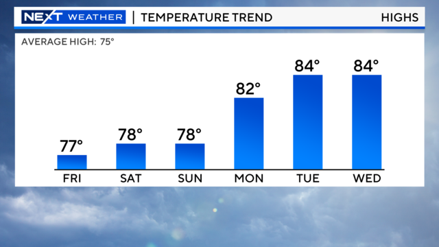
Continuing high pressure over Michigan will keep Friday sunny and warm.
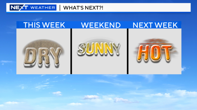
Dry weather continues as temps warm up and sunshine takes hold for the end of the week.
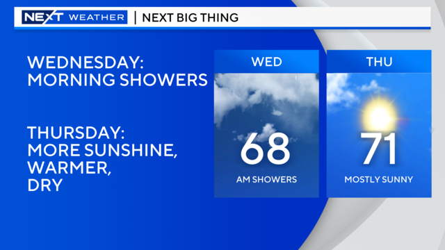
Showers and storms will continue into Wednesday morning, but that could be the last of it for a little while.
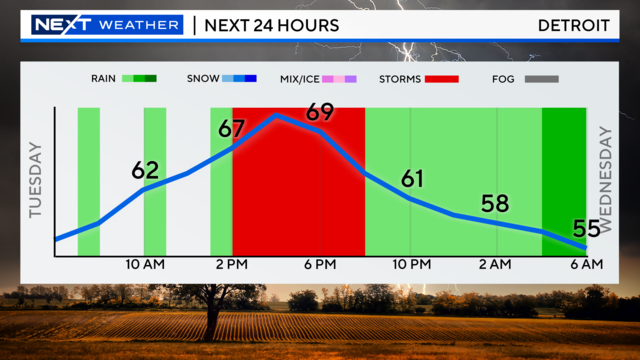
Tuesday will bring another round of showers and storms to the area.

Showers and storms could move in Friday night, and we could see more during Memorial Day weekend.
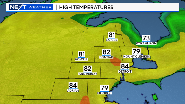
Friday will be another beautiful day with temperatures staying above average and sunshine sticking around.
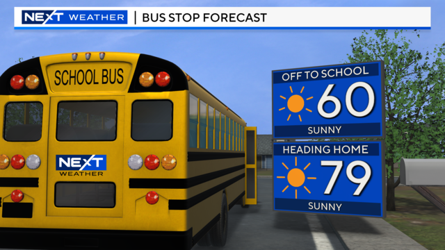
A cold front passed through Wednesday night, leaving us with less wind and less humidity for Thursday.