
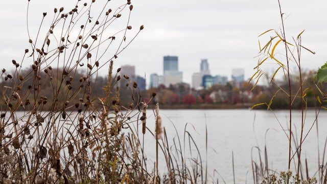
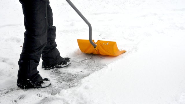
Spring storm will bring ice, snow, slush and rain across Minnesota
A couple of rounds of messy weather, including rain, slush, ice and snow, are set to hit Minnesota in the coming days.
Watch CBS News

A couple of rounds of messy weather, including rain, slush, ice and snow, are set to hit Minnesota in the coming days.

After a couple of abnormally warm days in the Twin Cities, Tuesday will be noticeably cooler.

Monday will be exceptionally warm for late March in Minnesota, but cooler air and rain are not far off.
A red flag warning will go into effect for 72 counties in Minnesota on Saturday, according to the Minnesota Department of Natural Resources.
Thursday will be cooler in the Twin Cities with scattered showers early in the day.

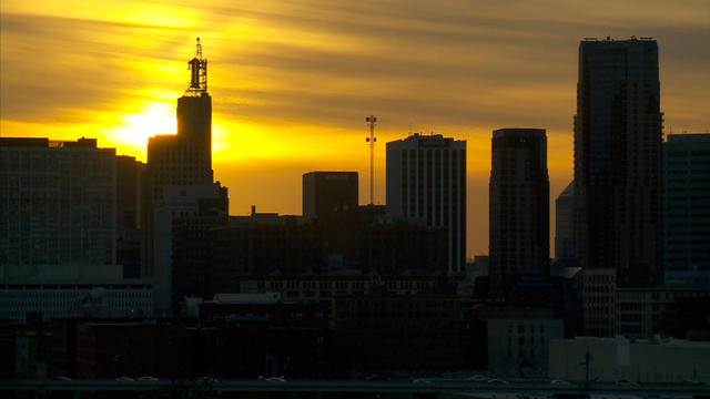
The Twin Cities are enjoying a big warm-up Wednesday, with temperatures feeling more like May than March.

Temperatures continue to rise in the Twin Cities, with more precipitation ahead later in the week.

A stretch of springlike warmth will peak midweek in Minnesota, with a return to more typical temperatures to follow.
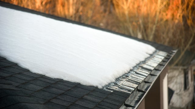
Melting snow will accelerate this week, but areas of fog and low clouds could slow the warmup for some neighborhoods, especially to the south and west.
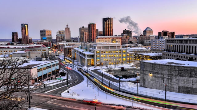
After a weekend blizzard and another round of snow overnight, the Twin Cities is in for a big warmup.

Tuesday gets off to a quiet start before snow develops in the afternoon and into the evening in the Twin Cities.
The whopping March blizzard has exited Minnesota, but the next storm system — albeit smaller — is on the way.
Minnesota Gov. Tim Walz has signed an executive order authorizing the Minnesota National Guard to support emergency operations for a winter storm expected late Saturday into Sunday.
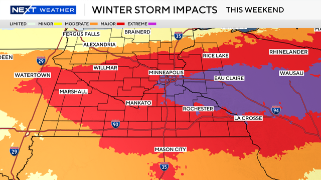
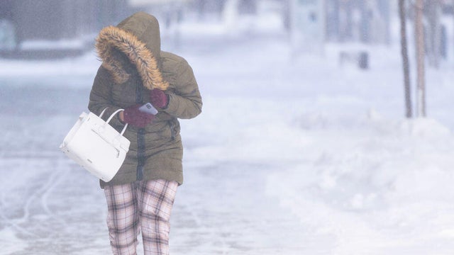
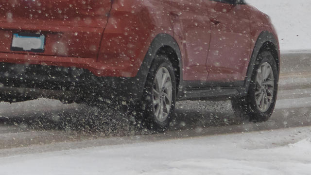
A major winter storm is bringing significant snow and wind to parts of Minnesota and Wisconsin this weekend.
The first of three rounds of snow arrives in Minnesota Tuesday night, with just enough accumulation to slow the Wednesday morning commute.