NEXT Weather: Cool start Wednesday, sunny and seasonable afternoon
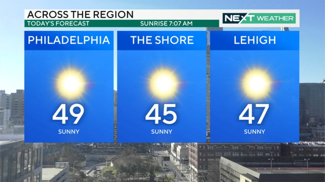
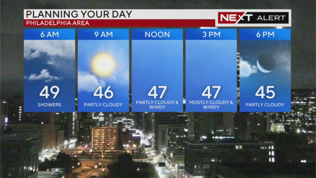
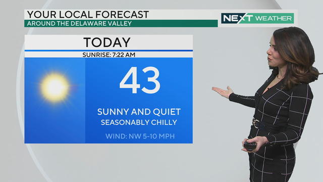
Plenty of sun Wednesday afternoon with high temperatures in the upper 40s. A dry weather stretch continues into the weekend and through Christmas Day.
Watch CBS News
Meteorologist Andrew Kozak's interest in weather began at the age of 4, all because of a giant stocking. Sounds funny, but that's actually what was used to create the iconic tornado in "The Wizard Of Oz." In fact, Andrew never really cared to watch the rest of the movie once the color kicked in; he wore out the VHS tape rewinding to the tornado part over and over again!
Born and raised in Staten Island, N.Y., Andrew graduated from the State University of NY at Oneonta with a degree in meteorology and internship experience at WABC in New York City. Six days after graduating, he was out at his first on-air job in Casper, Wyo., forecasting the weather and cohosting the morning show for the ABC affiliate.
Since then, he spent the better part of the last two decades tracking severe storms, tornadoes, floods and blizzards in Wichita, Tulsa, Memphis and Columbus, Ohio. He also spent some time helping out weather teams in Austin and Kansas City. He has co-hosted an entertainment show and hosted numerous entertainment, travel and celebrity segments as well.
Andrew joined the CBS News Philadelphia team in September 2022 and says he's excited to forecast the weather for the Delaware Valley, get involved in the community - and be "right down the road" from family.
Out of the studio, you can find Andrew exploring Philadelphia, eating his way through the city, working out (mainly because of all the eating), volunteering and testing his amateur chef skills. During college, he worked at a few high-end restaurants in N.Y., where he learned some culinary tricks from some of the best Italian chefs in the industry.

Plenty of sun Wednesday afternoon with high temperatures in the upper 40s. A dry weather stretch continues into the weekend and through Christmas Day.
A cold and blustery afternoon is on the way with wind chills at 32 degrees or below, but sunny skies and more seasonable temperatures return Wednesday and Thursday.
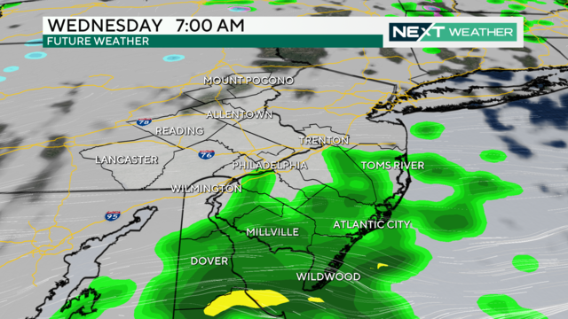
The heaviest of the rain has ended across the Philadelphia area, but light to moderate showers will be possible through midday before some drier air begins to move in.
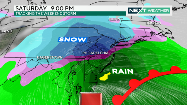
Sunday's widespread, long-term rain event moves into Monday. Heavy rain and wind gusts up to 30-50 mph could lead to localized flooding and possible power outages.
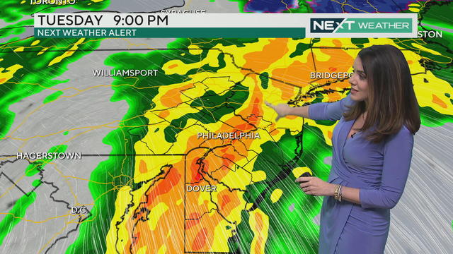
The heaviest rain will arrive in the Philadelphia region on Sunday night, making for a dreadful Monday morning commute.
Heavy rain, gusty winds and possible flooding will impact the entire Delaware Valley region, and a Flood Watch is in effect from 1 p.m. Sunday through 4 p.m. Monday.
After a rainy and foggy cap on the weekend, our NEXT Weather team forecasts that skies will slowly clear out Monday, as the main area of low pressure moves away from the east coast.
The rain is finally starting to taper off from south to north, with a few lingering sprinkles overnight. By sunrise Monday, we should be looking at mostly sunny to partly cloudy skies.
Thanksgiving looks dry and clear with a light breeze, great for a pre- or post-dinner stroll.
This morning is the time to get some shopping done or walk the dog because rain is coming later on Tuesday.
The Philadelphia region will see some showers on Tuesday and Wednesday, but we're not expecting any headaches as we enter the Thanksgiving holiday.
Now that Philadelphia has experienced its first sub-freezing temperature, we'll start to see more and more of this in the coming weeks and months. Here's what you need to know about hypothermia, frostbite and more.
It will be a bitterly cold start to the week before the Philadelphia region sees a gradual warmup.
The rain is now over but the wind takes the top weather headline, with gusts overnight in the 25-30 mph range.
As the chance of rain drops, cooler and gusty air will rush into the northeast through the weekend.