Philadelphia weather: More sun Wednesday, tracking weekend snow and rain
PHILADELPHIA (CBS) -- Wednesday starts out bright and seasonable with highs reaching the low to mid-40s. A weak system will move in later tonight into Thursday, bringing clouds and a slight chance for some slurries or sprinkles, but no accumulations are expected.
After cold air settles in Friday, the first weekend of 2024 has the potential to bring the Philadelphia region significant winter weather, with a developing coastal low that will dump heavy rain and snow across the entire Delaware Valley.
While still a few days away, now's the time to prepare for what might very well be the most significant winter storm in nearly two years.
There's no surefire bet that Philadelphia itself will see accumulating snow. But at this point, the ingredients may come together to create a winter storm that will affect the city.
What we know so far
After a relatively quiet week, Friday will usher in an upper-level area of high pressure, which will lay the groundwork for cold temperatures for the weekend. Expect highs Friday to not get out of the 30s.
An area of low pressure attached to a strengthening system will then move out of the deep south and up the coast toward the Philadelphia region. A variety of factors will determine how close it gets to us, and how close it gets plays a role in how much cold air wraps into it to give us snow, rather than rain.
A few scenarios:
- If the system hugs the coast, or even moves further inland, we'd stay on the warmer side, giving areas like the city more of a chance of a quick slushy mix to all rain.
- If it ventures further out offshore, we'll have a chance to pull in colder air, giving Philly and even central New Jersey and the Shore a better chance of snow.
- If it stays well to our south, it would miss us completely, but this is not likely to happen.
That said, at this preliminary time, areas north of Philadelphia will likely see accumulating now, while the city itself sits on the line of slushy snow and a wintry mix. This means grassy surfaces have a better chance of accumulating snow, while the roads stay more wet, rather than white.
Either way, we're also anticipating winds to howl up to 35 mph, along with gusts over 45 mph closer to the coast.
Finally, let's talk about coastal concerns. This has already been a season battered by coastal flooding and beach erosion, and this upcoming storm won't help things. If you're at the Jersey Shore, pay particular attention to high tide times, and wave inundation information — and of course any advisories, watches or warnings that may be issued before this weekend.
As always, remember that this is still a developing situation, and what ultimately plays out will likely change over the next few days. Stay with CBS News Philadelphia, and we'll continue to work around the clock, keeping you safe and informed ahead of the storm!
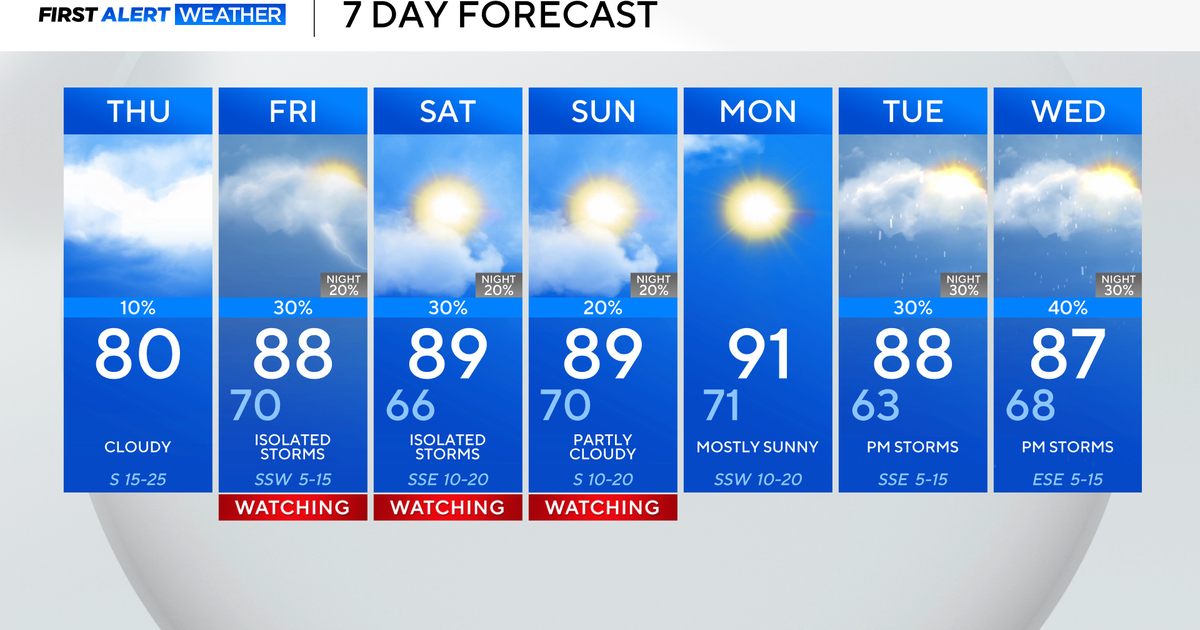
Here's your 7-day forecast
Wednesday: High of 45, sun and clouds
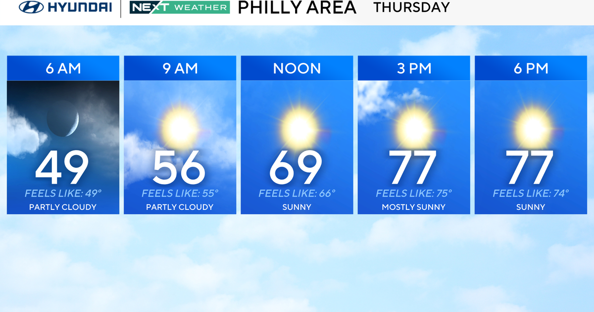
Thursday: High of 44, low of 35, partly sunny, possible AM flurry
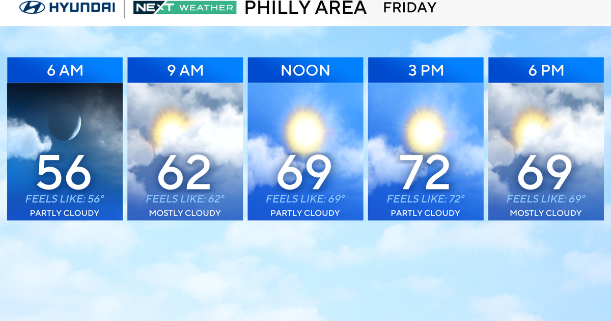
Friday: High of 39, low of 25, cold but dry
Saturday: High of 37, low of 27, NEXT Weather Alert Day
Sunday: High of 38, low of 33, NEXT Weather Alert Day
Monday: High of 42, low of 30, mostly sunny
Tuesday: High of 51, low of 29, rain returns


