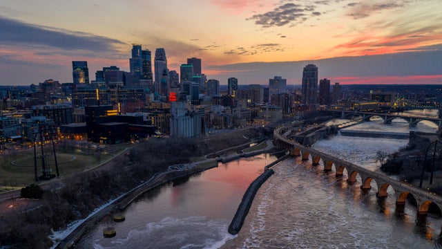
Early rain Thursday in parts of Minnesota; Twin Cities set for cloudy day
Showers and storms are moving through Minnesota Thursday morning, with a cloudy day set to follow.
Watch CBS News

Showers and storms are moving through Minnesota Thursday morning, with a cloudy day set to follow.
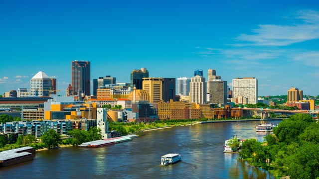
Expect another warm day in the Twin Cities on Wednesday, with highs in the upper 80s and a mix of sun and clouds.

After a wave of energy brought some passing showers and storms to the Twin Cities early Sunday, most of the day will be dry.
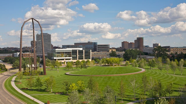
Highs will be in the low 80s on Saturday, with the next chance for storms in southern Minnesota in the evening hours.
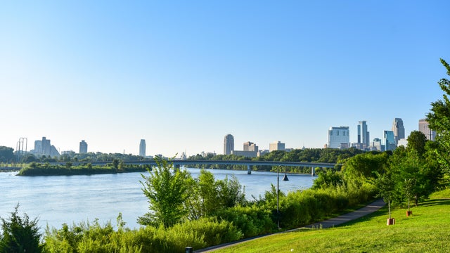
Thursday will be slightly warmer in the Twin Cities under mostly sunny skies.
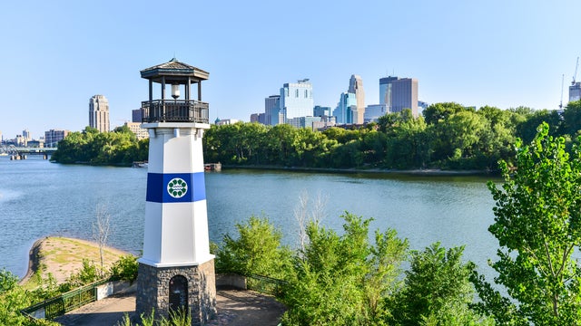
The next couple of days will be mostly sunny, dry and comfortable in the Twin Cities.
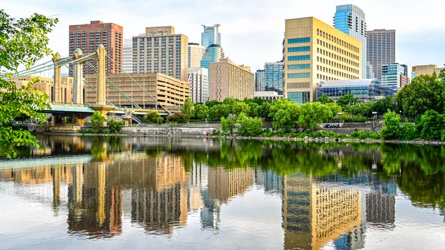
Sunday will be breezy, with low humidity and temperatures in the 80s.
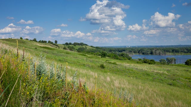
Highs will be near 90 in the afternoon, with some passing clouds.
Highs will be near 80 in the metro.
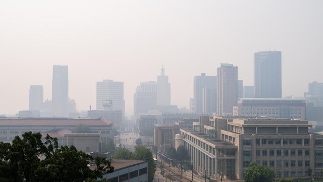
More wildfire smoke is impacting air quality for Minnesotans east of Interstate 35 on Sunday, with more sunshine and heat index values back near 90.
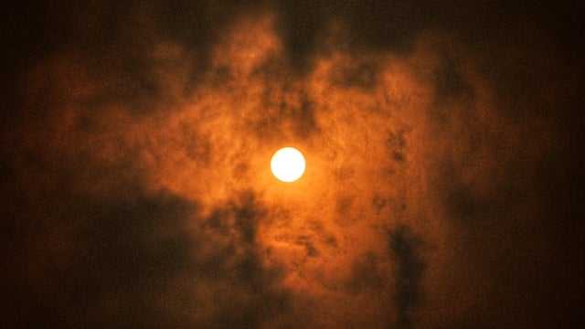
Dangerous heat and hazardous air quality remain the primary concerns in the Twin Cities on Thursday.

Earlier this month, 10 more Ramsey County communities and all of Washington County are now able to participate, with more rollouts to come.
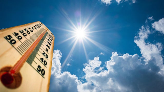
It'll reach the low 90s in the afternoon with a mostly sunny sky, but it'll feel more like 100.
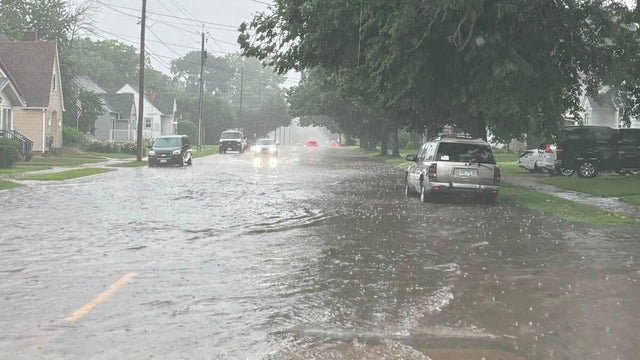
Some southern Minnesota residents were trapped in their homes after severe storms caused flooding in the area on Wednesday, authorities said.
A strong area of high pressure is set to develop over the central U.S. Thursday, bringing Minnesota's next stretch of hot, dry weather.