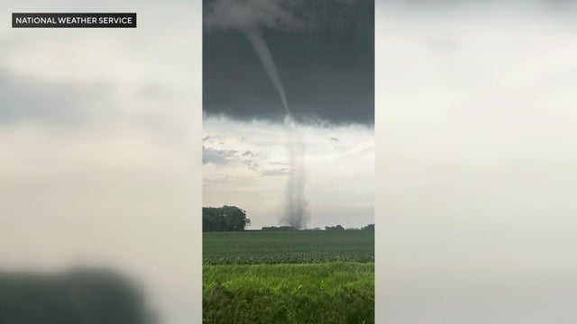
Tornado touches down in southern Minnesota, NWS says
A tornado touched down east of Nicollet on Monday night, according to the National Weather Service.
Watch CBS News
A tornado touched down east of Nicollet on Monday night, according to the National Weather Service.
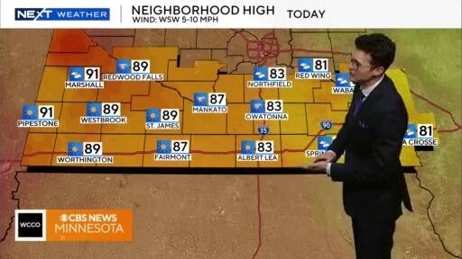
As the day goes on, skies are expected to clear on Tuesday.

The next few days should be a pleasant break from the wildfire smoke, but there's some rain on the way for Friday.
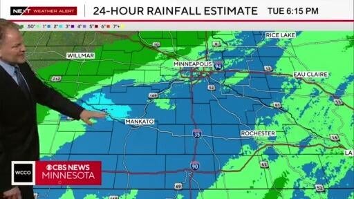
Clouds will clear out and the air quality will improve overnight heading into Wednesday morning.
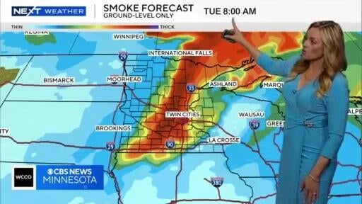
Monday will be hot, though there will likely be some storms in the afternoon and evening.
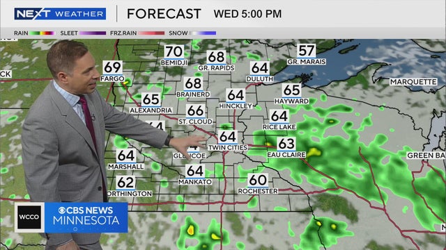
Mostly sunny skies are expected in northern Minnesota, and some scattered rain in the Twin Cities on Wednesday afternoon.
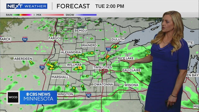
Some patchy showers are expected to develop overnight, but most of Tuesday looks like it’ll stay dry.

70s for the next two days, allowing for a nice but below average Memorial Day. Rain chances return on Tuesday. Lisa Meadows breaks down the timing and when we could hit the 80s.

The Twin Cities and other parts of the state are getting soaked this week.

It's that time of year where you might've already chosen those perfect perennials. But as many Minnesotans remain on a frost advisory, what should you do with your plants?
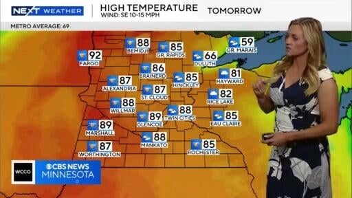
After a few more days with temps near 90 degrees, some storms will move in Thursday.
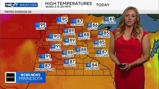
An air quality alert has been issued for western and central Minnesota. The hot stretch is expected to continue until Thursday, when there's some rain in the forecast.
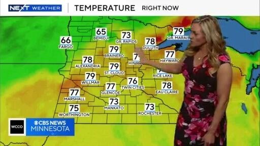
Wednesday looks to be slightly cooler than Tuesday, and there's a chance for rain on Thursday.
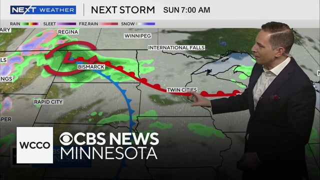
WCCO meteorologist Mike Augustyniak says Saturday will be a warm but windy day, and Sunday could arrive with some thunderstorms.
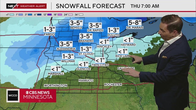
WCCO meteorologist Mike Augustyniak says after days of gloomy, cold winter weather, Minnesota dries out for the Twins Home Opener Thursday. It will be cool and breezy, but it will be dry.

Roads and untreated surfaces could be slick, especially north of the Twin Cities, where the greatest accumulations will be about 1 to 3 inches of snow and .10 inches of freezing rain.

A few inches of snow fell in southeastern Minnesota, but there will likely be a warm-up to end the week.
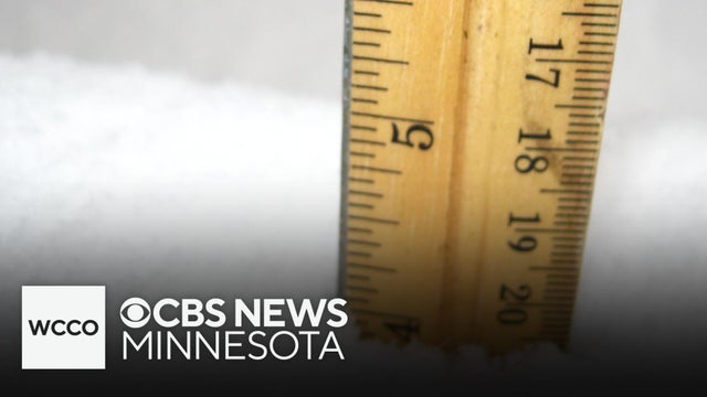
Meteorologist Mike Augustyniak has the latest forecast as a spring snowstorm heads toward Minnesota. There's still a lot of uncertainty with potential snowfall totals, but here's what we know so far.
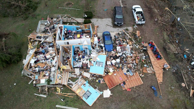
Violent tornadoes ripped through parts of the U.S., wiping out schools and toppling semitractor-trailers in several states.
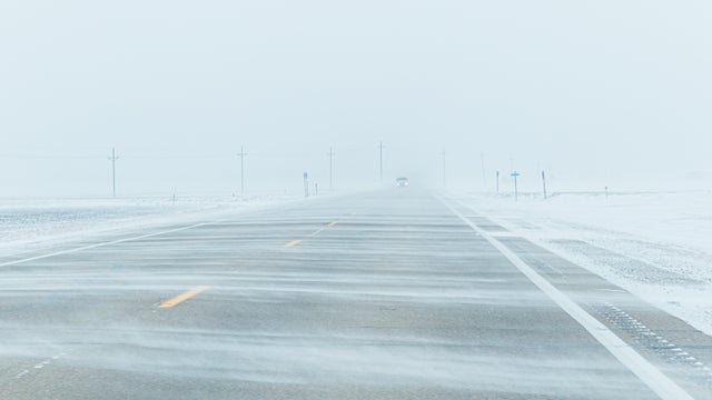
A storm system moving through western Minnesota could bring several inches of snow on Saturday.
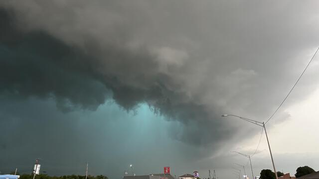
When it comes to severe weather events like tornadoes and flash floods, what's the difference between a watch and warning, and which is worse?
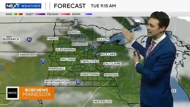
Temperatures will continue to inch up for the rest of the week, ahead of record warmth on Friday.
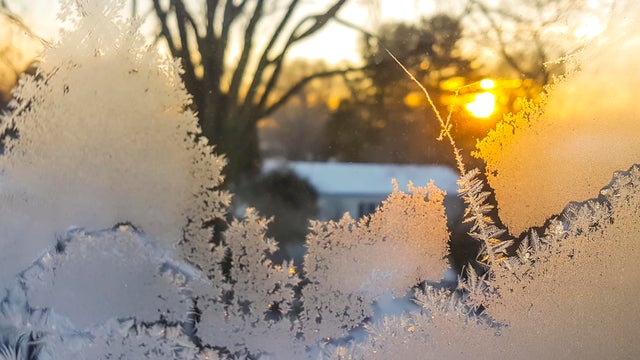
NEXT Weather meteorologist Adam Del Rosso says snow will continue to melt all weekend

We're entering a stretch of above average temps, though some clouds could make their appearances over the weekend.
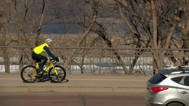
Monday will be warm, with temperatures well above average, before a messy spring storm moves through Minnesota in the middle of the week.