Tagboard: A look at North Texas storms through the Twitter lens
Temperatures climbed into the 80s on Thursday as large hail, rain and damaging winds swept across North Texas.
Watch CBS News
Temperatures climbed into the 80s on Thursday as large hail, rain and damaging winds swept across North Texas.
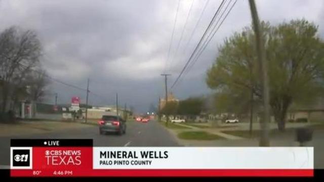
Stick with CBS News Texas for the latest

A storm capable of producing a tornado was reported just south of Breckenridge at about 4:00 p.m. Residents are being urged to seek cover immediately.
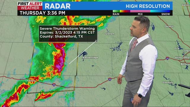
Stick with CBS News Texas for the latest. https://www.cbsnews.com/texas/live-updates/first-alert-weather-significant-severe-weather-outbreak-possible-thursday/

With severe weather on the way to North Texas Thursday, CBS News Texas wanted to share some tips on what to do if you're caught in a tornado warning.
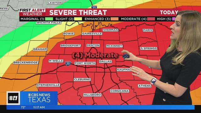
Storms are possible between 1 p.m. through 11 p.m., but the Metroplex will likely see the worst of it from 5 p.m. to 8 p.m. Keep watching CBS News Texas for the latest updates.
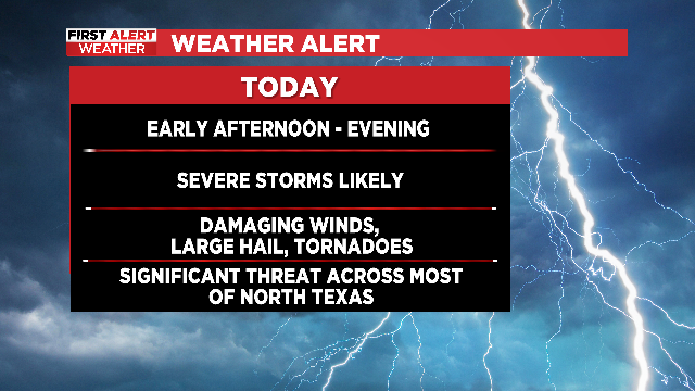
A weather alert has been issued Thursday as strong to severe storms are expected to roll through this afternoon and evening.
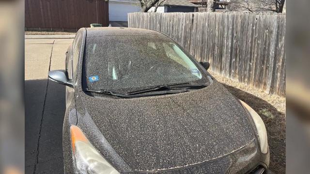
If you stepped out the door to dust all over your car or noticed the haze over the metroplex today, you're not alone.
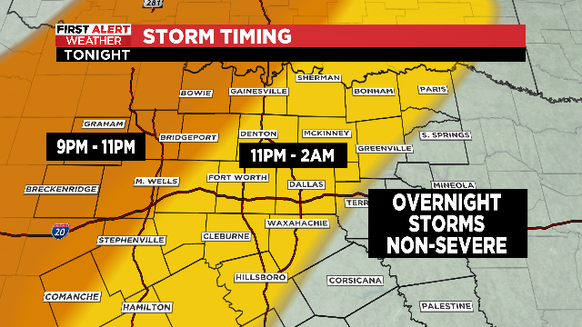
Storms will be out of the area in time for the Monday morning commute.
Check back every hour for a First Alert Weather update.
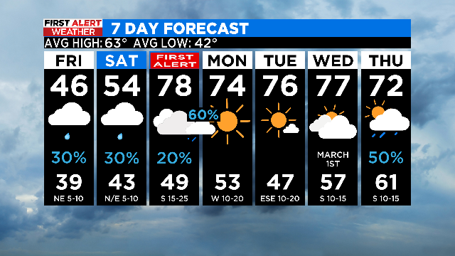
The threat for severe weather late Sunday extends into North Texas, so a First Alert Weather Day has been issued.
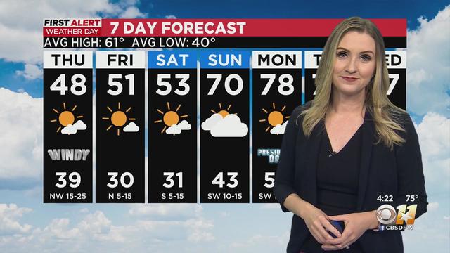
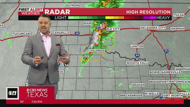
The cap over the Metroplex appears to be holding, but storms are popping up to the west.
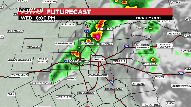
Hoy tendremos la potencial de tormentas, granizo y tornados aislados en partes del metroplex.
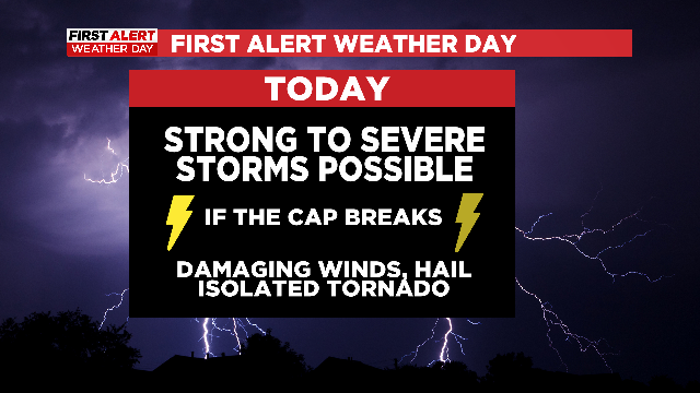
If the "cap" breaks, North Texas will have an active evening as damaging winds, isolated tornadoes and large hail will all be possible.
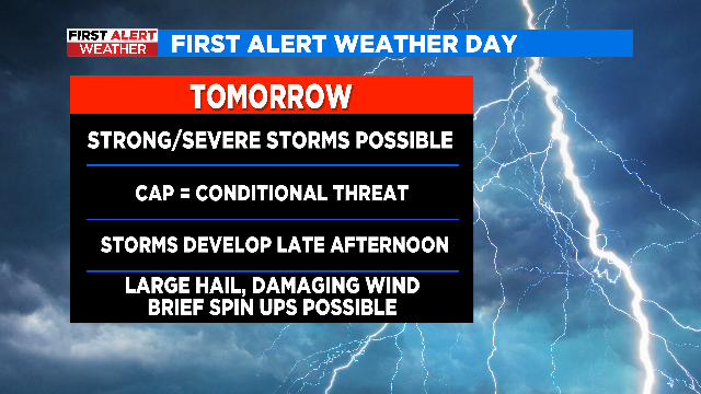
With a strong cold front approaching late Wednesday evening, there's the chance for some storm development in the afternoon and evening.
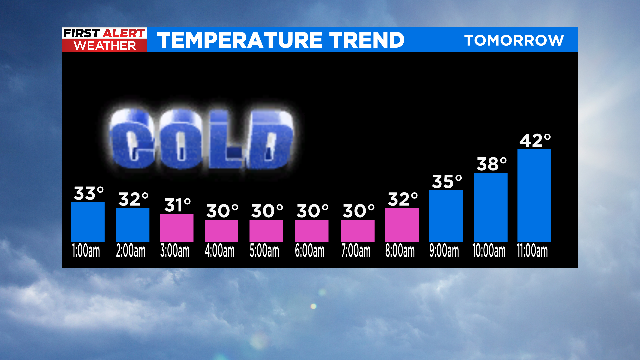
Black ice and freezing fog will also be a concern tomorrow morning.

Many North Texas schools have a delayed start for Friday. Others remain closed.
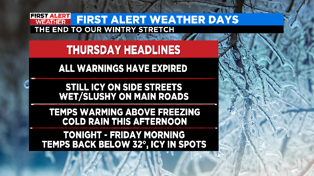
The string of four consecutive First Alert Weather Days is finally over as temperatures are warming above freezing.
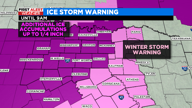
Precipitation will continue to transition over to a cold rain from southeast to northwest as temperatures climb above freezing.
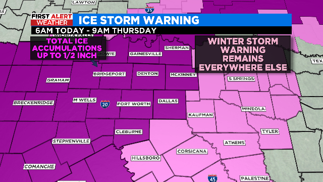
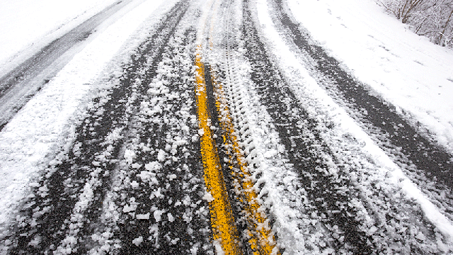
The metroplex is under an Ice Storm Warning until tomorrow morning. As much as .50" of ice is possible. Roads become nearly impassable and powerlines are threatened.
An ice storm warning remains until 9 a.m. Thursday morning
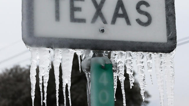
Waves of freezing rain, sleet and rain will continue to impact most of North Texas throughout Tuesday, and CBS 11 wants to ensure you know what that means for you.
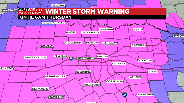
Another First Alert Weather Day has been issued for North Texas Thursday as icy conditions will continue to be a big concern.
First Alert Weather Days have been called Monday through Wednesday due to the threat of freezing rain and sleet.
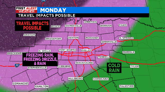
This week features several waves of rain/freezing rain/freezing drizzle, with Tuesday and Wednesday mornings seeing the worst of it.