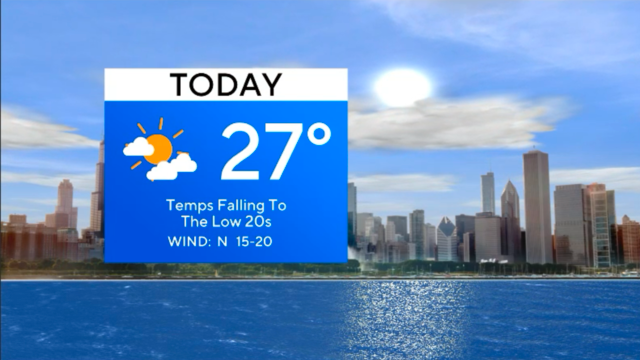
Sunny, breezy for Chicago as temps continue to drop
Temps continue falling for the next few days.
Watch CBS News

Temps continue falling for the next few days.

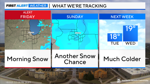
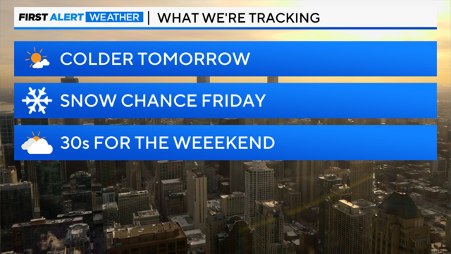
Thursday's highs will be in the upper 30s with clouds and a few flurries possible.
Overnight Sunday into Monday, temperatures are expected to drop to the low teens, but due to breezy conditions, wind chill values will drop as low as -5 late Sunday night through Monday morning.
It won't feel as bitterly cold as temperatures rise in the middle to upper 20s.
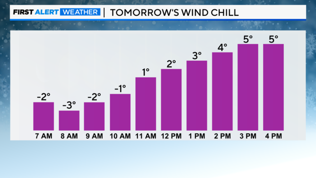
Even though the wind won't be very strong, it will still feel like the single digits stepping outside for wind chills Wednesday night into Thursday morning.
Wednesday will be the coldest day this week with highs only topping out in the lower 20s at best.
Everyone is still advised to be careful of slick area roads and sidewalks with ice patches.
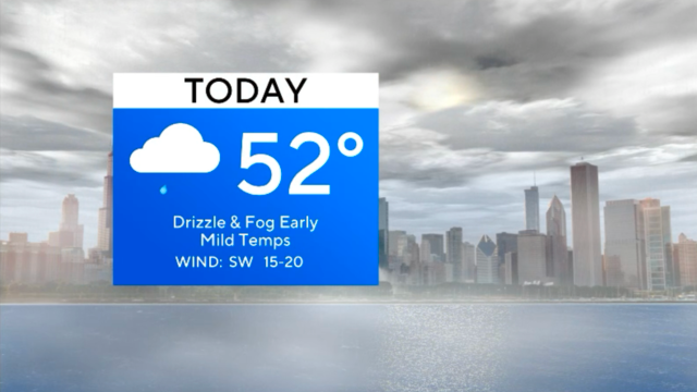
A dense fog advisory is in effect until 11 a.m.
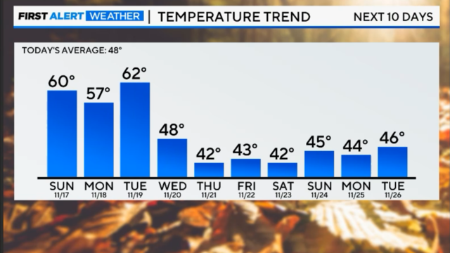
After enjoying unseasonably mild weather Sunday and Monday, another cold snap blows in starting Tuesday bringing the coldest air of the season.
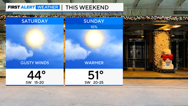
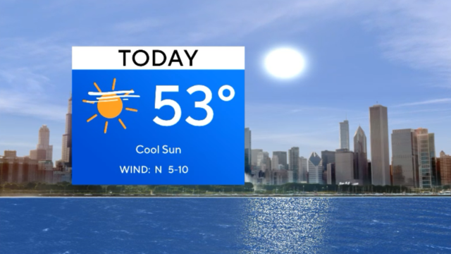
Temperatures climb to the low 50s on Sunday.
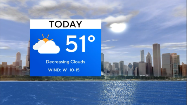
Mild temperatures are expected for the next couple of days, and then it'll feel more like November.
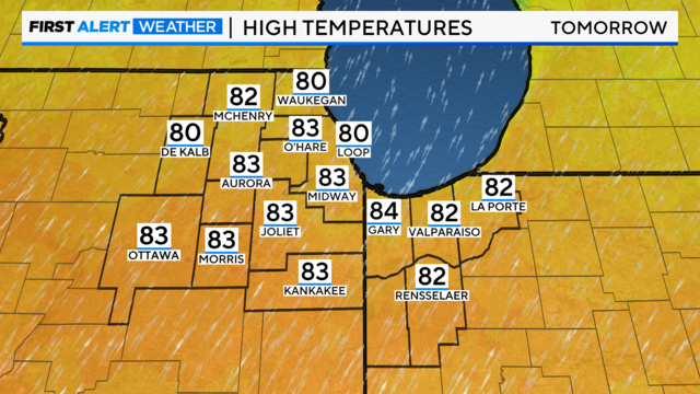
Highs will be in the low 50s before dropping to the 40s at night.
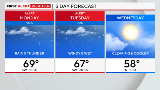
More rounds of rain and storms could lead to the potential for flooding across the area.
Friday's highs will be in the low 50s with winds diminishing throughout the morning.
Tuesday night is expected to be the warmest night on record so late in the year.