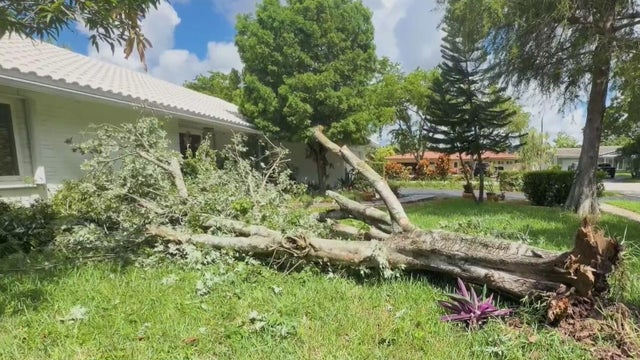
Storms topple trees, knock out power in Broward neighborhood
Surveillance video captured the damage as strong winds downed trees and cut power to nine homes.
Watch CBS News
Surveillance video captured the damage as strong winds downed trees and cut power to nine homes.

A gusty breeze develops for South Florida and the Florida Keys to end the holiday weekend.

The NEXT Weather Team is tracking afternoon storms across Broward and Miami-Dade Counties on Sunday afternoon and early evening.
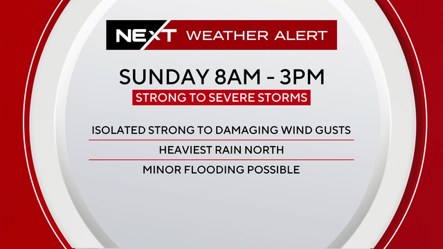
The NEXT Weather team has issued a NEXT Weather Alert Day for Sunday and Monday.
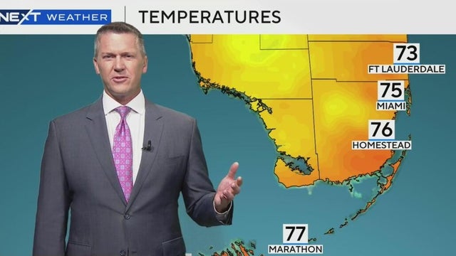
There's a 30% chance of rain this week.
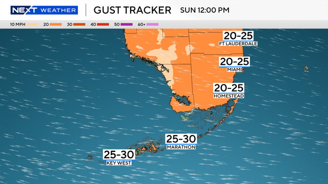
Easter Sunday will see a gusty breeze throughout much of the day. The wind will be coming right off the ocean and pushing through the metro areas and the Keys with gusts near 30 mph.
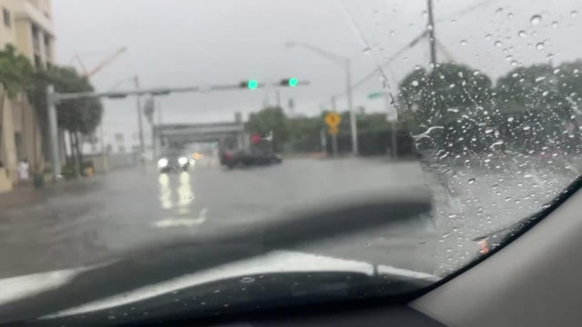
Two low-end weather threats, damaging winds and flash flooding, are forecast to develop as a cold front moves across the region.
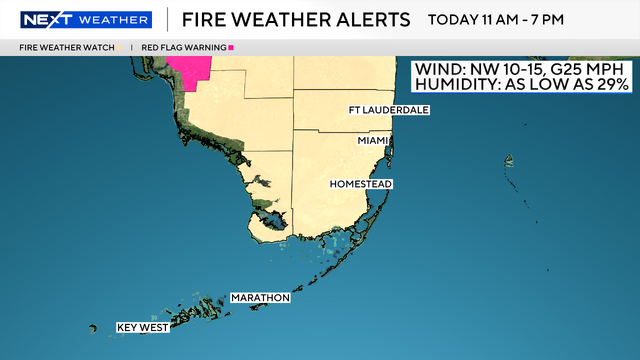
The combination of wind and dry air will lead to a fire weather watch for South Florida on Thursday from 11 a.m. to 7 p.m.
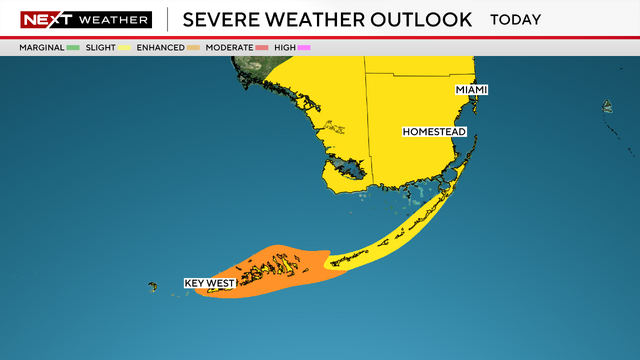
An area of low pressure moved through the Gulf towards South Florida.

People may be relieved that there was no tornado in the area on Wednesday afternoon, so what was all that wind?

Record-breaking high temperatures are expected Saturday afternoon across South Florida, then a dramatic dip arrives tonight.

Gusty winds will continue to whip across South Florida on Wednesday. CBS4 meteorologist Lissette Gonzalez said we can expect sustained winds out of the East in the 20 to 25 mile per hour range. Early Wednesday morning some areas saw gusts as high as 40 mph.