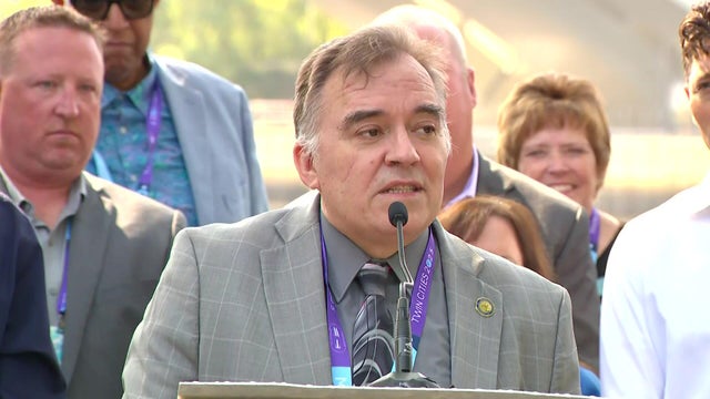
Leaders of Mississippi River cities, towns converge in Minneapolis
Mayors from cities all along the "Mighty Mississippi" met in Minneapolis on Wednesday for the latest Mississippi River Cities & Towns Initiative.
Watch CBS News

Mayors from cities all along the "Mighty Mississippi" met in Minneapolis on Wednesday for the latest Mississippi River Cities & Towns Initiative.
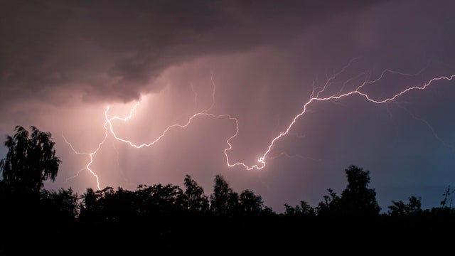
A few isolated storms will fire later Sunday evening across western Minnesota. Some storms could make it east toward the Twin Cities by dawn.
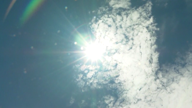
Thanks to a stalled storm system to our west and southerly winds, high temperatures will be in the mid-80s on Saturday afternoon across the Twin Cities, but it will feel closer to 90 due to humidity.
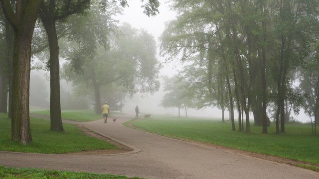
The Twin Cities will see more fog on Wednesday night and early Thursday, with the latter shaping up to be a #Top10WxDay.

Minnesota is eight days into meteorological fall, and it definitely felt like it over the weekend — though it doesn't look like it yet.
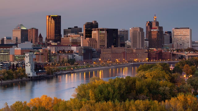
Warmer temperatures return to the Twin Cities on Monday, with storms possible later on.

Labor Day will be mostly sunny and pleasant in Minnesota, but an impending cold front will give us a preview of fall by midweek.
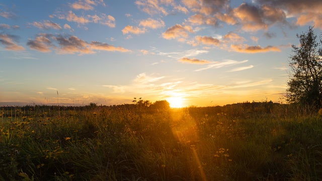
Pockets of dense fog Sunday morning will give way to sunshine and seasonable temperatures in the afternoon, with highs close to 80.
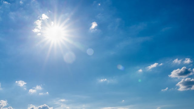
With high pressure just off to the east, the Twin Cities should expect a fairly quiet Labor Day weekend.

The cool air continues to settle in Sunday, with afternoon highs staying in the 60s.

Wednesday will be warm and slightly humid in the Twin Cities, but things will cool down for the first weekend of the Minnesota State Fair.
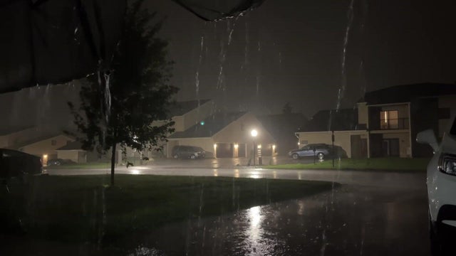
After some lingering rain moves out Monday morning, the Twin Cities will see partly sunny skies ahead of a cooler, drier week.

A NEXT Weather Alert is in effect Sunday evening as parts of the state are preparing for another onslaught after morning storms.
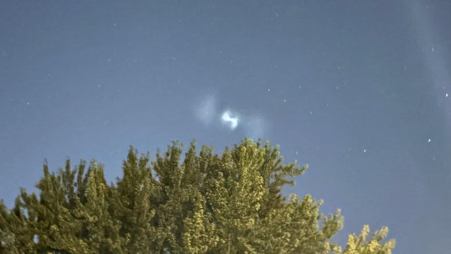
A video shows a strange light in the sky Tuesday night over Woodbury, Minnesota, causing some to wonder what it may have been.

Most of Minnesota is in for a beautiful day on Wednesday, though northern Minnesota is still under an air quality alert.