
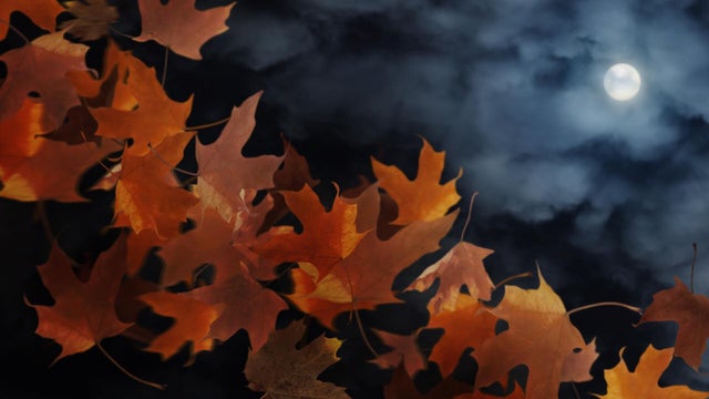
Another chance to see northern lights Wednesday night
After a stunning northern lights show Tuesday night, Minnesotans will get another chance to spot them on Wednesday.
Watch CBS News

After a stunning northern lights show Tuesday night, Minnesotans will get another chance to spot them on Wednesday.
As winds pick up Sunday, feels-like temperatures stay in the teens all day after starting in single digits across greater Minnesota.

Dock 6 Pottery in St. Anthony, Minnesota, continues to evolve since it first opened in 1995. It's a classroom, an art gallery and a fun spot to try your hand at something new.
A passing clipper system will reinforce the cold and even bring some snow chances for southern Minnesota on Saturday morning.
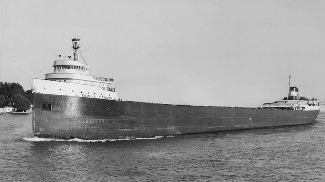
It's one of the most well-known shipwrecks in American history. Today marks 50 years since the Edmund Fitzgerald sank in Lake Superior, but the legend of the lost freighter lives on.
Early morning showers are expected to taper off Saturday, though the rest of the day remains cloudy.
There's no snow in the forecast for Friday, but Halloween in Minnesota does have a history of seeing some weather extremes.

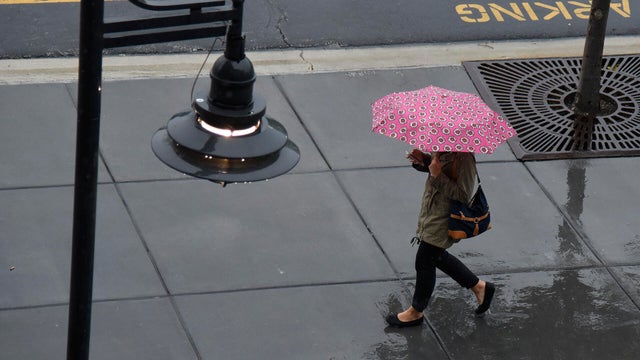
Scattered rain showers will develop Friday in the Twin Cities and continue into the trick-or-treating hours.

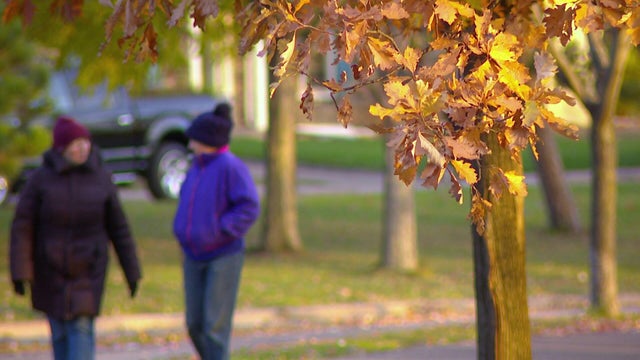
Following a foggy start to Thursday, high temperatures will only reaching into the upper 40s in the Twin Cities.
Thursday kicks off a mostly cloudy stretch that will last through Saturday morning, when the sun returns.

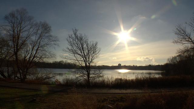
Aside from some clouds early Sunday morning, it will be mostly sunny with a high near 60 to wrap up the weekend.
Much of Minnesota is waking up to cloudy conditions on Saturday, and they'll be sticking around for most of the day.
Friday night football games should be dry with temperatures in the 40s.
The weekend will start quietly and comfortably, with temperatures again reaching above average across Minnesota and Wisconsin.
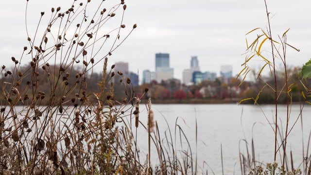
The Twin Cities will deal with some isolated rain on Thursday, with highs about 15-degrees warmer than normal.