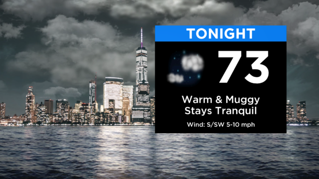
CBS2 Weather Headlines: Slight Shower Risk Sunday Night, More Sun, Humidity On Monday
Tomorrow will start off with some areas of dense fog once again, but that'll burn off rapidly as sunshine will lead us to a high right around 90 degrees.
Watch CBS News
Tomorrow will start off with some areas of dense fog once again, but that'll burn off rapidly as sunshine will lead us to a high right around 90 degrees.
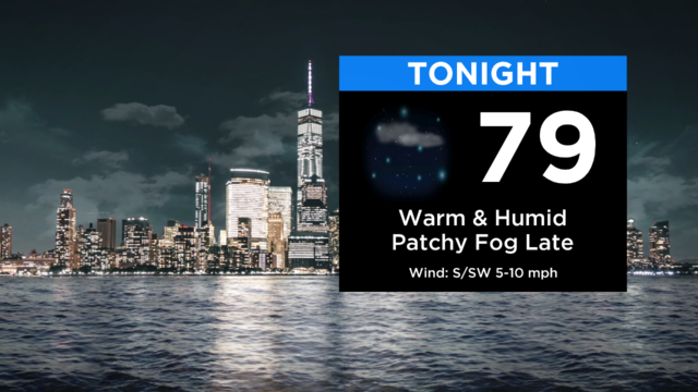
We hope everybody stayed cool Sunday, because it was HOT, HOT, HOT!
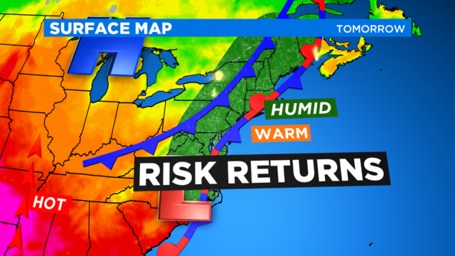
Expect mostly cloudy skies with about a 10-20% risk. Otherwise, it'll be muggy and mild with a low in the mid 70s here in town and in the upper 60s for the outlying suburbs.

We're waking up to a muggy and mild start with some patchy fog. It will eventually burn off and it'll be another sizzler in the afternoon.
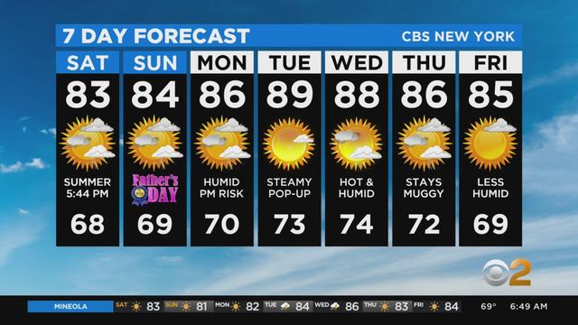
Get ready for a warm, humid weekend and maybe a storm or two. John Elliott has the updated forecast.
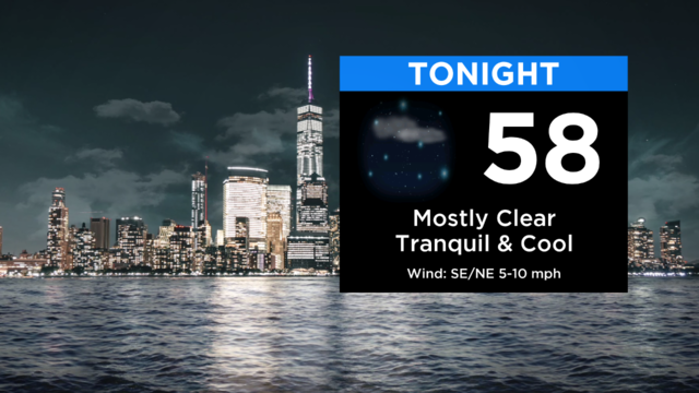
Skies will remain generally clear through the night with comfy temperatures once again, in the upper 50s in the city and some 40s in the suburbs.
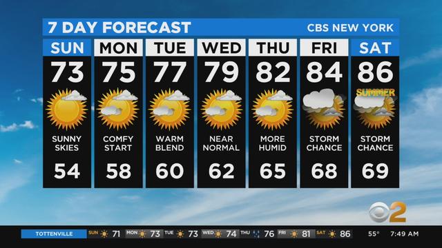
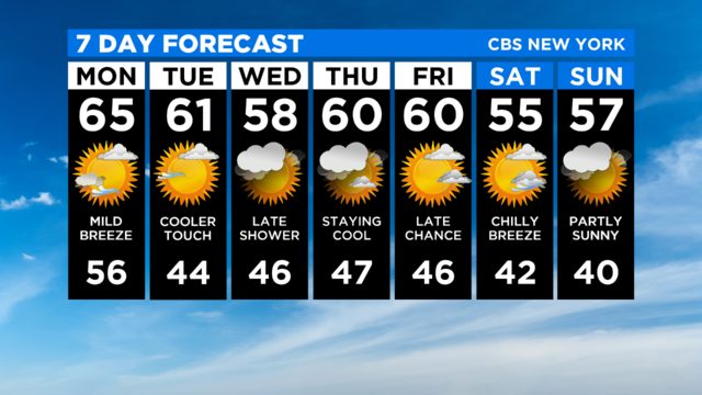
Monday will start off with cool temperatures in the mid 50s, just like Sunday, but don't expect the mercury to soar into the 70s and low 80s again.
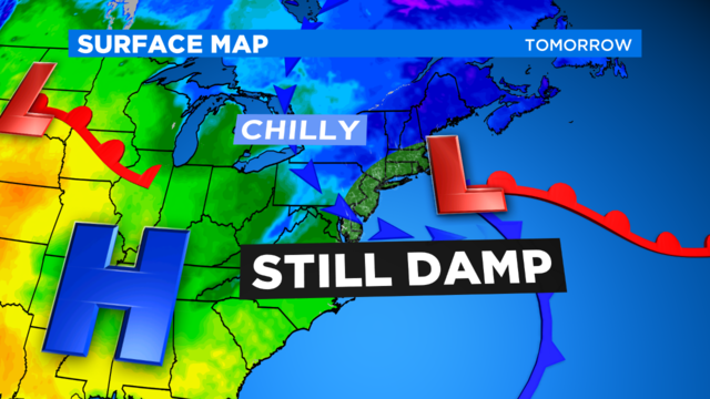
As expected, Sunday's weather was the complete opposite of Saturday's.
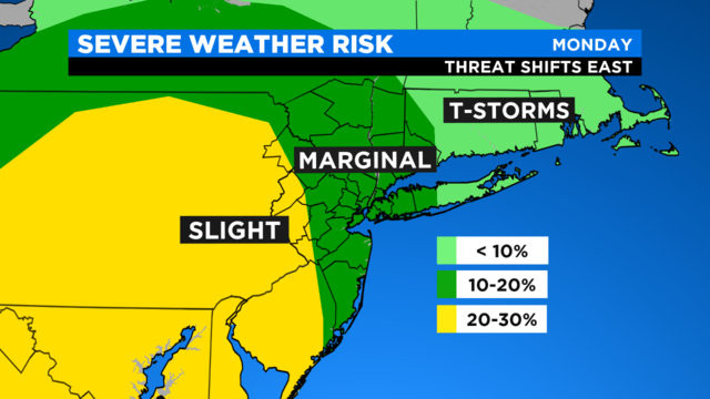
If you absolutely have to head out Monday, be warned: a very powerful storm will affect the region. It will bring with it torrential rain, thunderstorms, and potentially destructive winds.
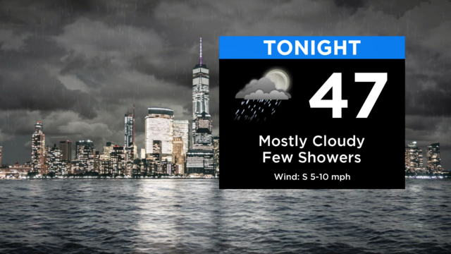
Clouds will thicken up in Sunday evening, and there is a 20% risk for showers through the night.
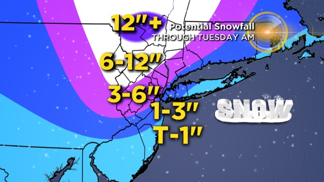
The first day back to work and school for most since before Thanksgiving is off to a messy and wintry start.
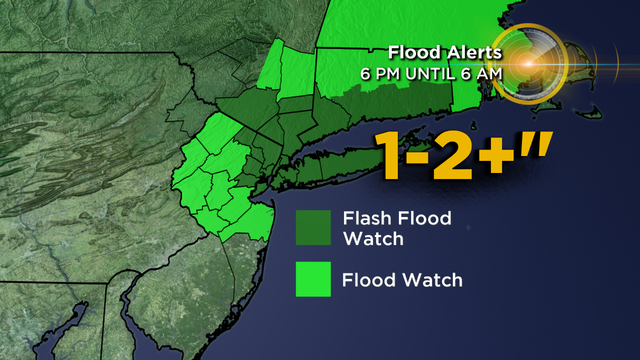
We'll be dodging some drops this afternoon, but it's nothing we can't handle, just be sure to have the umbrella handy.
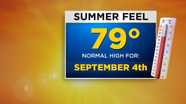
It's another warm one today — we may even be able to add a degree or two to yesterday — getting us well into the 70s, if not to the 80° mark.

Skies are clear and bright, and temperatures are going to spike by this afternoon. We will almost hit 90!

We have yet another hot & humid day ahead - but it won't be quite as brutal as yesterday. Expect high temps mainly in the upper 80s, with some low 90s.

Once again, we're aiming for that 90° mark — and likely surpassing it! Outside of that, expect a few drenching downpours, especially inland.

Our temps are on the upswing this afternoon as we make a run for the 90° mark.

We'll catch a break early this afternoon before our second round of showers and storms move through.

It will be another below normal day with temps only climbing into the mid and upper 70s. Showers will push in tonight with the best chance overnight.

Expect a moonlit sky tonight with generally lighter winds around the area.

Temperatures will be more of a struggle today with the added cloud cover and east wind, low to mid 70s or so.

There's no arguing that spring has taken us on a ride we'd like to forget.

Temps will be running nearly 15 degrees warmer than yesterday, but because of the breeze, it will only feel like the 30s for much of the day.

Towards the west, sunshine and 80s will be common; to the east and along the coast, expect more cloud cover with blustery conditions and a chance for some rain and showers.